Devpost
Participate in our public hackathons
Devpost for Teams
Access your company's private hackathons
Grow your developer ecosystem and promote your platform
Drive innovation, collaboration, and retention within your organization
By use case
Blog
Insights into hackathon planning and participation
Customer stories
Inspiration from peers and other industry leaders
Planning guides
Best practices for planning online and in-person hackathons
Webinars & events
Upcoming events and on-demand recordings
Help desk
Common questions and support documentation
Sort by:
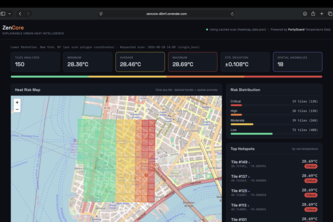
AI-powered urban heat intelligence for smarter city cooling decisions.
Turn months of satellite imagery into field priorities in minutes, not days. 1415 Agri uses Gemini's reasoning to show farmers where to inspect first and make better field decisions.
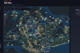
Singapore's first bird-collision risk map. Every light-pollution map is blind to the wavelength that kills birds, so we went out and measured it ourselves.
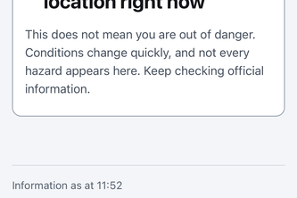
Official NSW bushfire warnings, made accessible and understandable. Plain language, six languages, read aloud, plus a ranked list of who to call. SafeSignal never changes what the RFS said.
python, fastapi, geopandas, shapely, osmnx, pvlib, networkx, pandas, pyarrow, react, vite, javascript, maplibre-gl, openstreetmap, geojson, arcgis
Pulse is a live-map where suburbs glow and pins pulse brighter based on the actual foot traffic of real people checking in real time, instead of a static list of pages.
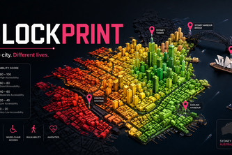
See Sydney through different lives. A 3D twin of Sydney that scores every city block for livability — as a wheelchair user, a parent with a pram, or after dark — and finds the cheapest fix.
72 hours' warning before the heat hits — neighbourhood by neighbourhood, not city-wide.
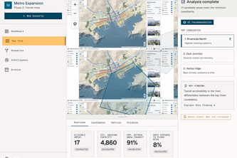
A geospatial intelligence engine combining 171k-node Dijkstra pathfinding and satellite population rasters to reveal hidden infrastructure deserts and optimize smart city investments.
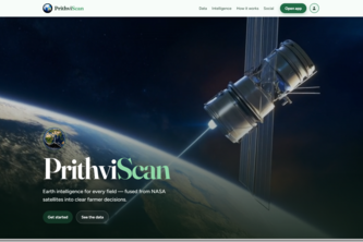
PrithviScan uses NASA and Indian satellite data to turn field signals into practical farming advice on whether to irrigate, investigate, or observe each field using real Earth intelligence.
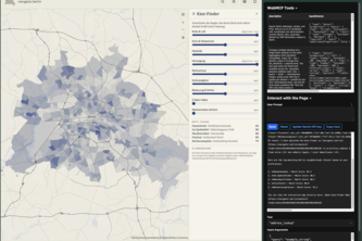
A web map is a WebGL canvas — a black box to AI agents. WebMCP makes it glass.
Helping cities make smarter decisions by pairing planners with an AI collaborator that explores possibilities, reveals trade-offs, and keeps humans in control.
An intelligent waste management ecosystem combining AI, IoT smart bins and real time city data to automate collection, improve recycling and help cities respond before waste becomes a problem.
An AI and IoT powered smart city platform that predicts waste needs, connects citizens, collectors and authorities, and uses real time data to make waste management cleaner and more efficient.
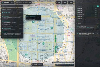
An open-data atlas for Berlin where agent and human work the same map: it moves the sliders on 542 neighbourhoods, you move them back, and each side sees what the other did.
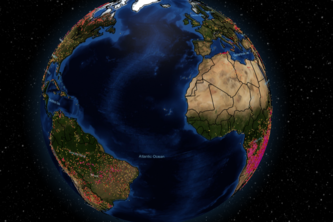
Most people who are affected by wildfires never see a flame.
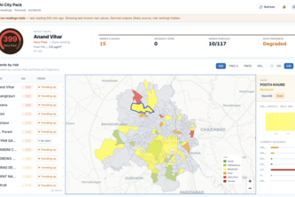
From information to action (Air-quality response layer for city teams)
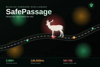
Show us your highway, and we'll tell you where animals will die next — and exactly what to build there to stop it.
Lahore's air, mapped live across five tehsils. Every reading shows how many people are breathing it, turning a measurement into something a city can act on.
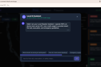
CrisisConnect: Offline-first, AI-powered disaster triage and emergency routing-built to save lives when the grid goes down.
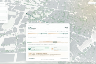
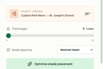
Maps pick the fastest walk; ShadeShift picks the cooler one. It finds pedestrian routes near live weather and mapped greenery worldwide, then plans tree shade for the hottest streets.
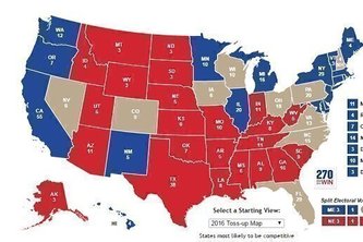
Election forecasts give you the frontrunner. Swing Scope gives you the flipper the probability of each U.S. county flipping, ranked from highest to lowest.