Devpost
Participate in our public hackathons
Devpost for Teams
Access your company's private hackathons
Grow your developer ecosystem and promote your platform
Drive innovation, collaboration, and retention within your organization
By use case
Blog
Insights into hackathon planning and participation
Customer stories
Inspiration from peers and other industry leaders
Planning guides
Best practices for planning online and in-person hackathons
Webinars & events
Upcoming events and on-demand recordings
Help desk
Common questions and support documentation
Sort by:
Build once not twice
Help people find information about the buildings they reside or plan to rent.
GridMind detects utility construction conflicts before they become costly disruptions
Built for the Sperry Tech Challenge — finds hidden transmission coordination opportunities between utilities before they waste millions duplicating infrastructure.
Mapping Singapore's recycling gaps, and the fastest way to close them
Discover coordination opportunities before construction begins.
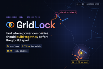
America's grid is being rebuilt by utilities that plan alone. GridLock reads their public plans, finds where projects overlap in place and time, and turns duplicated work into shared crews and land.
RORA helps people reach their destination safely by detecting big floods and rerouting them in real time.
Because the grid could use a group chat.
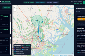
Storm Intelligence coordinates regional power grid repairs while guiding autonomous vehicles safely around downed lines and storm hazards.
GridLock turns utility documents (PDF's) into a live GIS map, ranking where Georgia Power & Dominion SC build near each other at the same time, and shows what sharing crews could save.
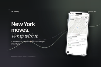
Wrap helps New Yorkers navigate parades, protests, and street closures. It finds routes around disruptions and suggests when to switch if transit runs late.
Find the coolest way to get to your destination 😎
Know your hazards before they find you. Enter a Glendale address, get your family's plan in Armenian, Spanish or English.
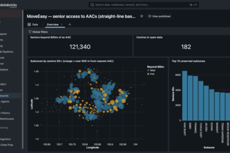
KampungRadius scores every Singapore subzone on how many seniors can actually walk to an Active Ageing Centre, ranks the worst gaps, and recommends where the next centre should go.
Do you need to bring a Jacket? What about your unlucky Umbrella? Safely travel and account for the unpredictability of weather with CirrusNav.
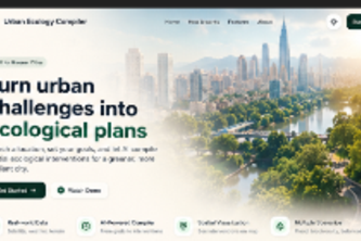
An AI-powered urban ecology compiler that transforms real-world geospatial data and city goals into optimized, visual plans for greener, cooler, more resilient cities.
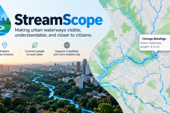
Making urban waterways visible, understandable, and closer to citizens.
Predicting dengue risk 2–4 weeks ahead so communities can act before outbreaks escalate.
Kampung Planner uses Singapore open data on Databricks to help social workers and volunteer coordinators rank seniors' isolation risk by area, match volunteers and choose AAC activity sites.
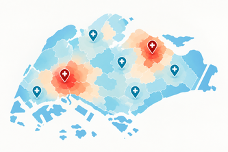
CareGap SG forecasts future community-care demand for each of the ~40 planning areas, scores how easily residents can reach care, and ranks the best next sites for polyclinics and eldercare.
Free and open-source U of T timetable planning and campus navigation, built by Andrew Muratov to make the time between classes count.
Hawker centres feed communities and are an essential element of Singapore's food culture. KopilamAI helps to visualize where access is thin, who a closure hurts, and where food waste can be recycled.
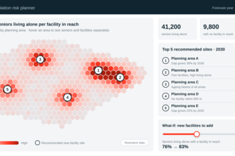
Isolated seniors don't ask for help. SilverWatch scores every Singapore planning area's eldercare access gap, projects 2030 scenarios, and recommends where new facilities would help most.