Devpost
Participate in our public hackathons
Devpost for Teams
Access your company's private hackathons
Grow your developer ecosystem and promote your platform
Drive innovation, collaboration, and retention within your organization
By use case
Blog
Insights into hackathon planning and participation
Customer stories
Inspiration from peers and other industry leaders
Planning guides
Best practices for planning online and in-person hackathons
Webinars & events
Upcoming events and on-demand recordings
Help desk
Common questions and support documentation
Sort by:
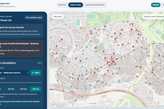
A forecast-ready 3D urban flood twin that turns rainfall uncertainty into neighbourhood and road-impact screening for Lahore.
Lahore has lost most of its trees, and summers now hit 48°C. Chhaon is the planting layer between satellite data and Lahore's streets: pick a spot, get a heat cost, a rank, and the right tree.
AI-Powered Municipal Document Intelligence & Spatial Policy Mapping
Canopy finds nearby nature breaks that fit your time, comfort, and access needs using live conditions and trusted local park data.
Free food maps tell you where. Curb Cut tells you if a wheelchair, walker, or stroller can reach it — MTA elevator status, USDA meal sites, NYC Open Data and Census, every claim sourced and dated
Google Maps gives you the fastest way home. SafeRoute NYC gives you the safest routing around the blocks where NYC's own data shows people are most likely to get hurt.
RescueBite is a community surplus-food platform bridging commercial donors with verified NGOs to rescue fresh food, eliminate waste, and deliver meals directly to communities in need.
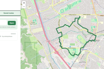
An exercise router
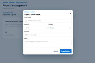
FloodWise turns safe, real-time community observations into trustworthy flood intelligence and safer routes for Marikina residents.
El agente espacial que convierte tus datos GIS en conocimiento, conectando DataHub, análisis satelital y IA local
Every food spot in Marikina City gets one permanent URL, with an AI concierge and a real baranggay (District) map to help you find it. Helping small food businesses to keep up.
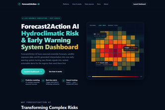
Forecast2Action AI turns seasonal forecasts, satellite data, and AI interpretation into ranked, community-verified early-warning alerts for drought and floods in Ethiopia.
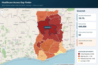
An interactive map showing where Ghana's malaria burden and thin healthcare access overlap — so the regions needing help most aren't hidden across two separate datasets.
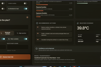
AI-powered heat-safe routing that helps people avoid high-risk streets and helps cities identify where shade, water stations, and cooling centers can create the greatest impact.
Our AI analyzes satellite imagery to map disaster frontlines in real time, giving first responders instant boundary maps to act faster and save lives
Satellite-powered drought intelligence for IGAD: detect active episodes and estimate whether they may persist for 30–180 days.
From forecast rainfall to street-level flood action.
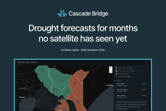
We forecast the satellite signals of drought before satellites can see them through ML cascade bridges + ECMWF SEAS5 deliver 1–3 month drought warnings for Kenya's pastoral drylands.
SeaForger runs a vessel through real ocean forecasts and physics, then uses a Jac agent loop to search for the mission plan that actually survives the voyage.
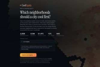
CoolEquity helps cities prioritize heat-resilience investments by combining satellite heat, tree canopy, vulnerability, and access data to show where cooling interventions can protect the most people.
Cursor for GIS. Ask Earth in natural language.
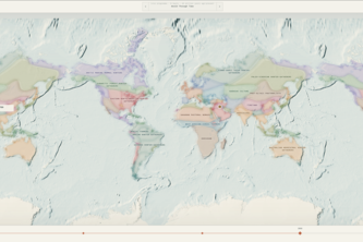
See how the past connects across time, place, people and ideas. Learn, teach, show.
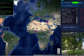
Global Real-Time Intelligence & Geospatial Analytics Terminal.
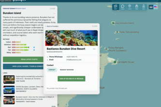
Tripshaper is a bilingual, map-first guide to Indonesia, helping travelers build better trips and connect directly with local providers—without booking commissions.