-
-
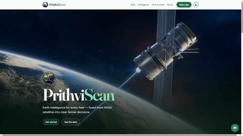
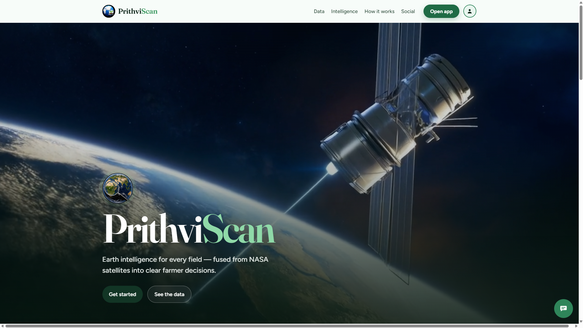
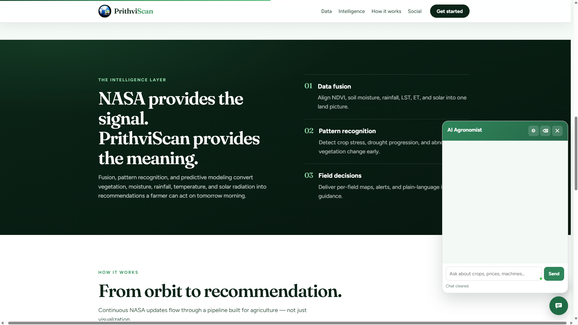
Home Page
-
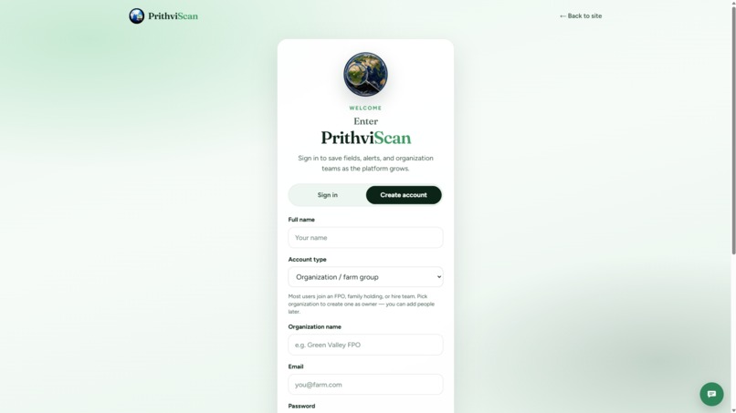
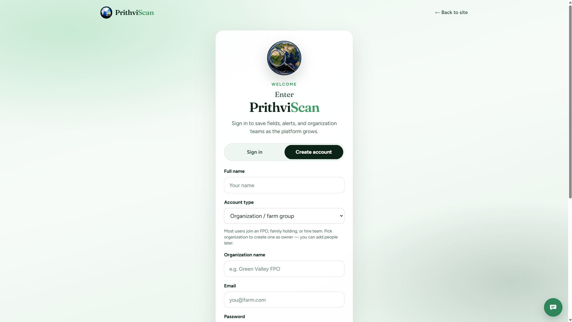
Sign up
-
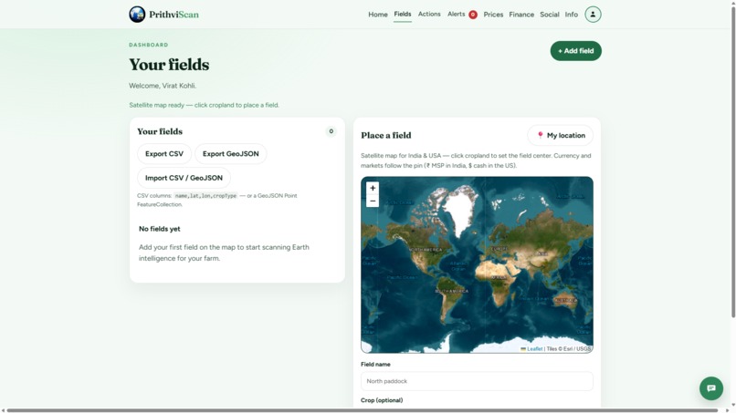
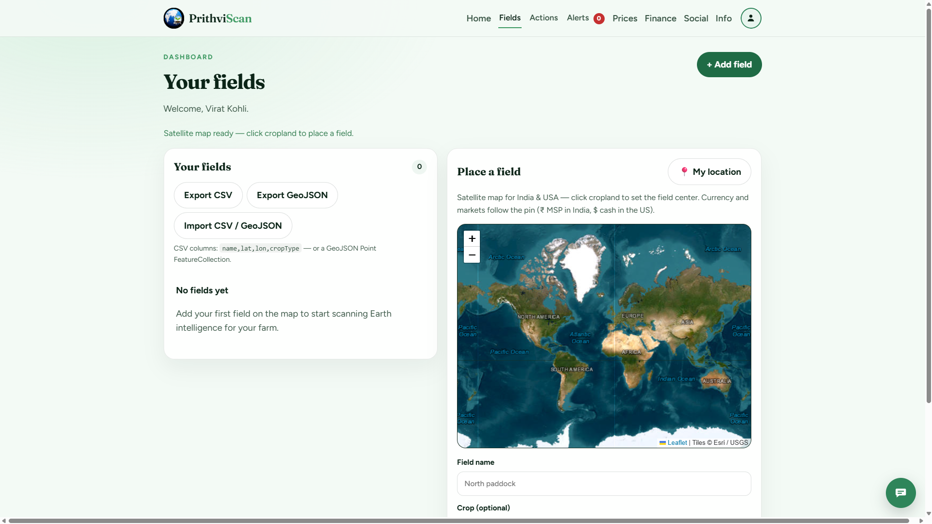
Manage Fields Page
-
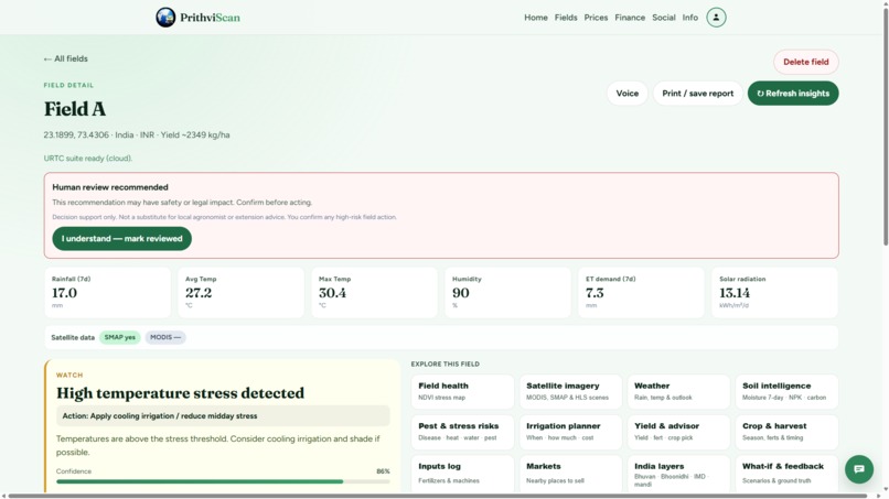
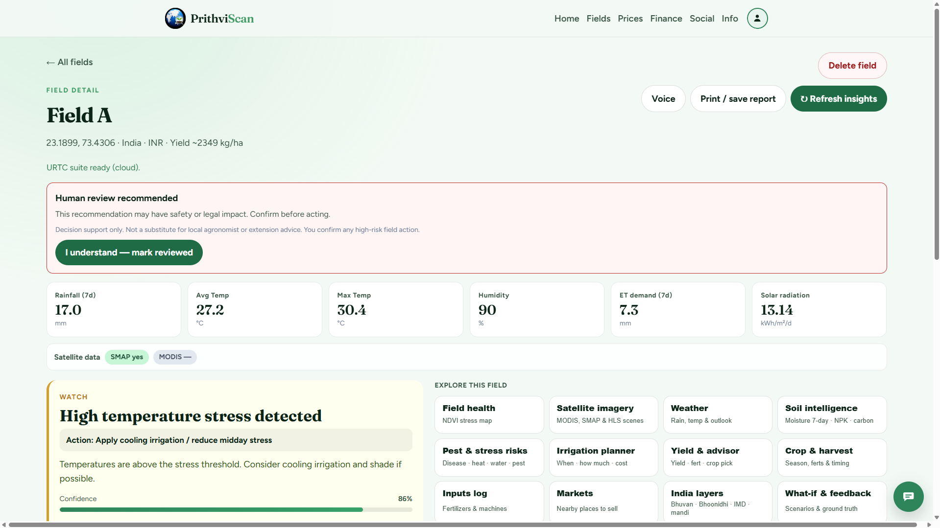
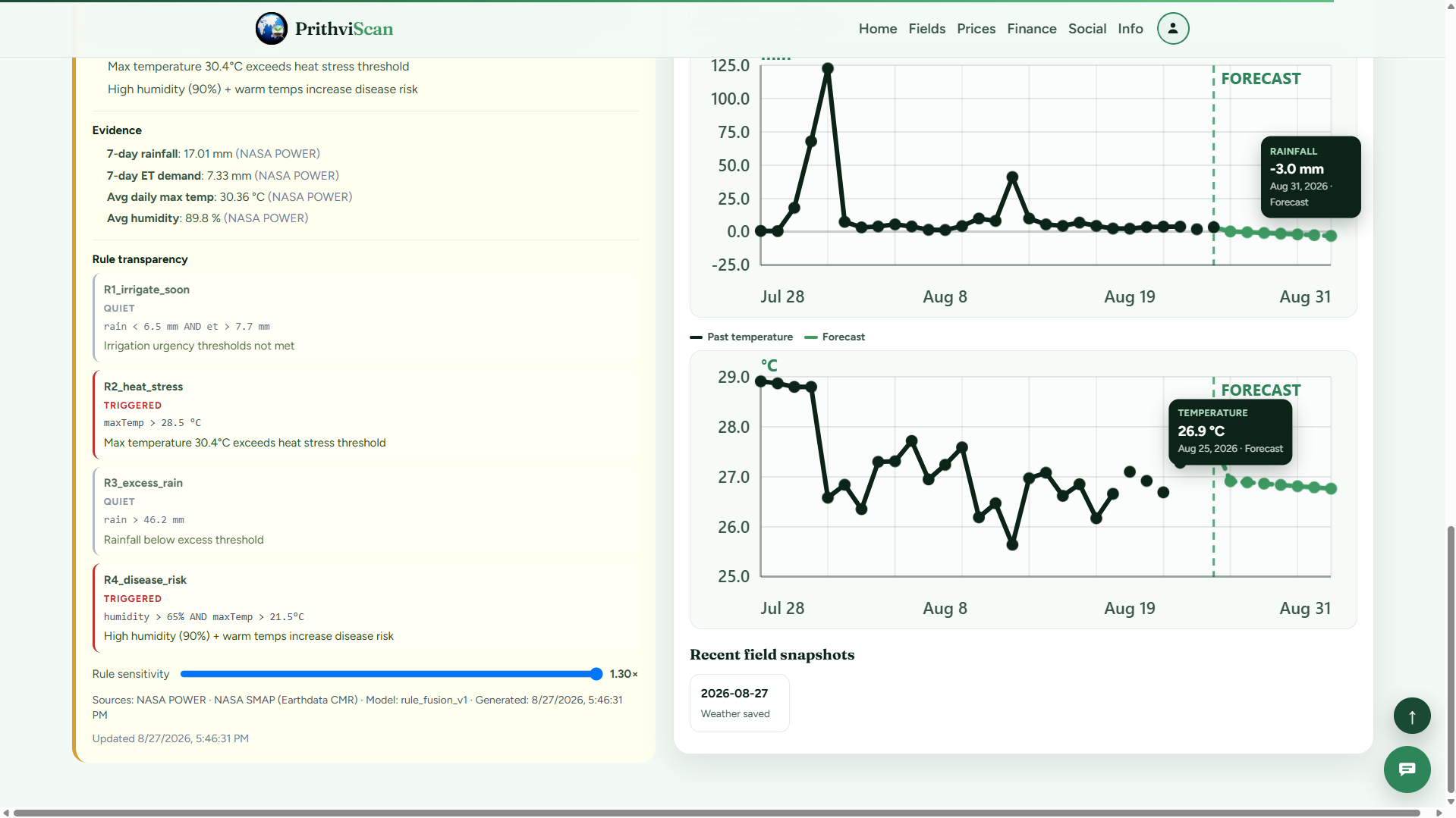
Field Insights
-
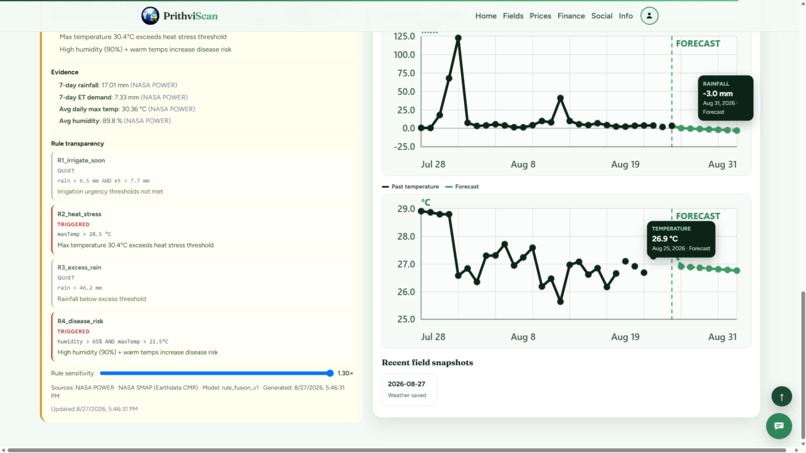
Weather page
-
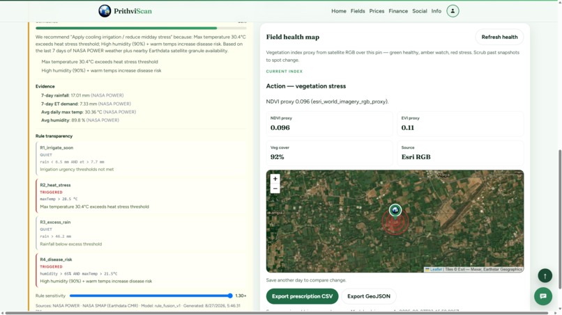
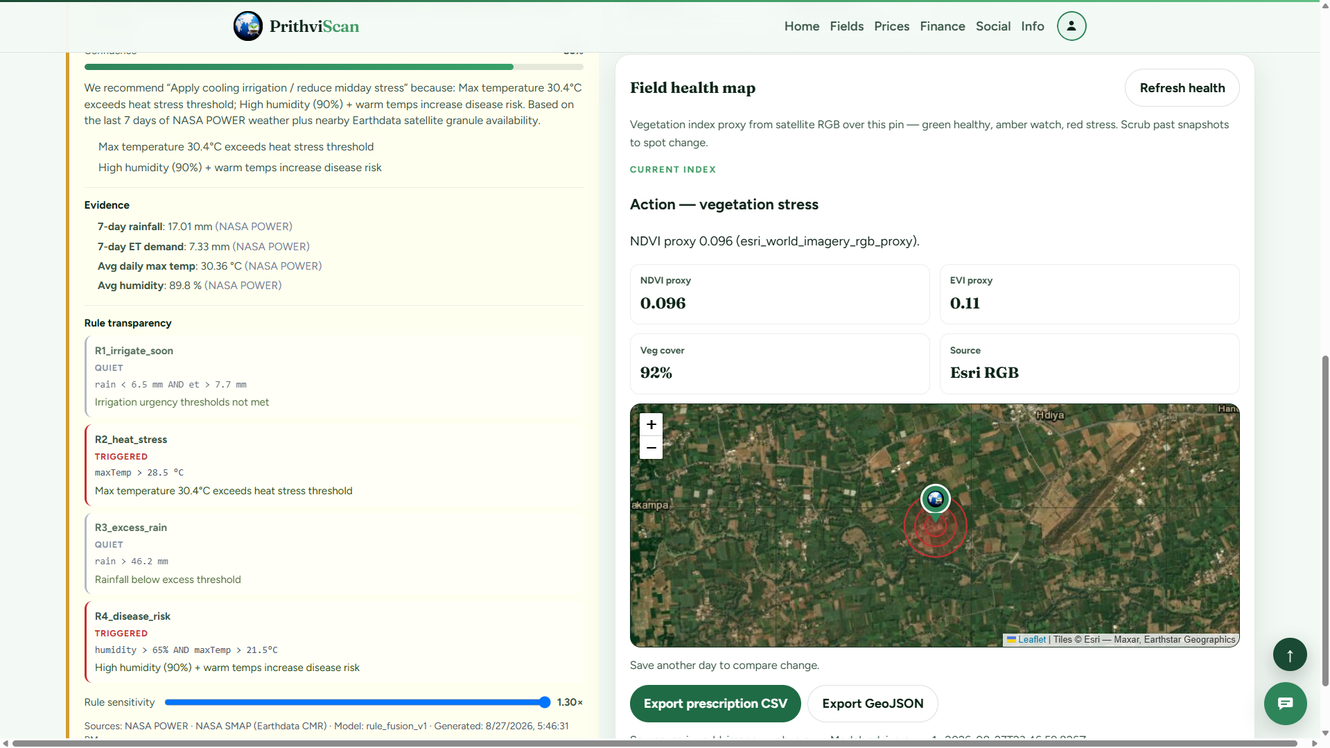
Field Health
-
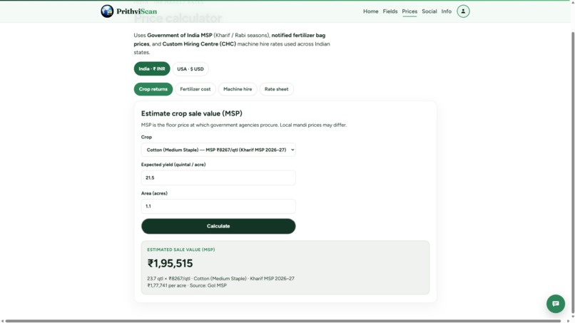
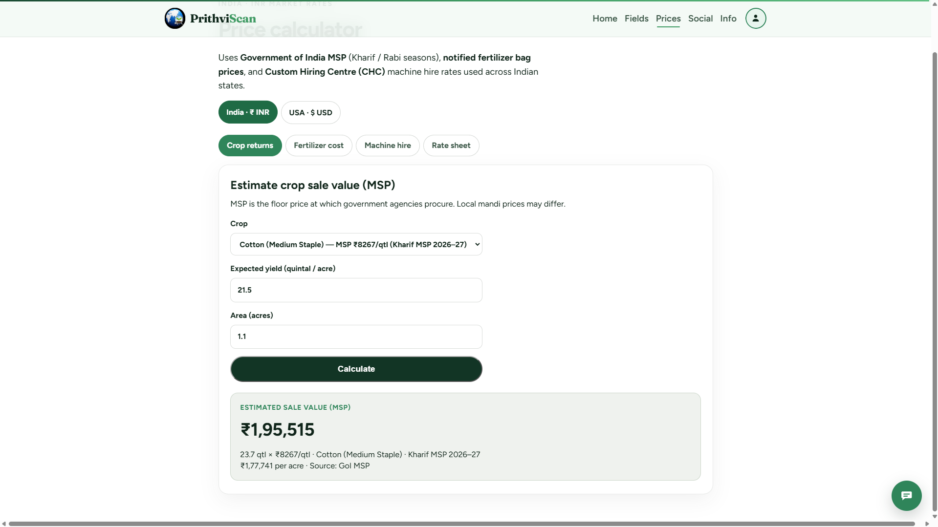
Finances (Price Calculator)
-
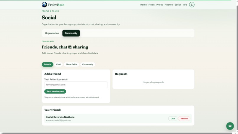
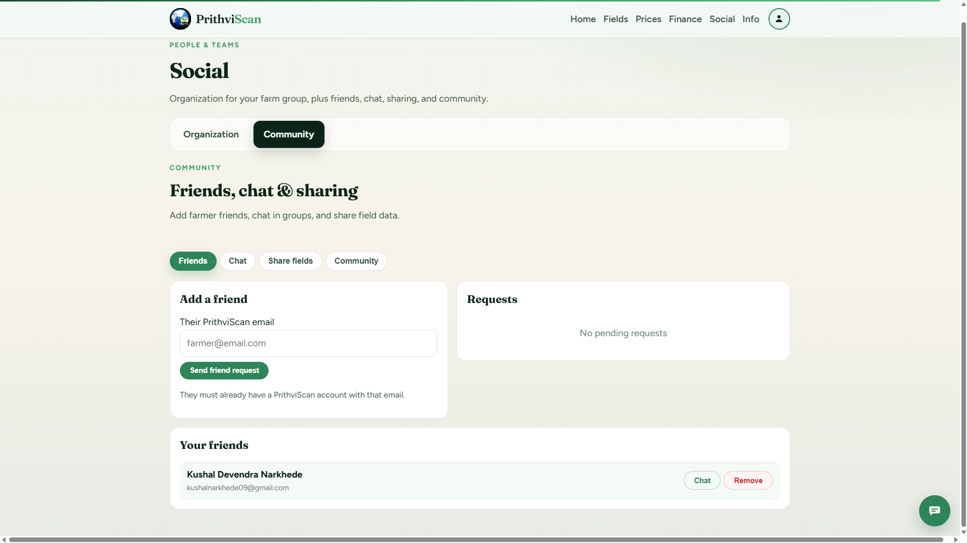
Social page
-
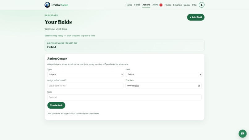
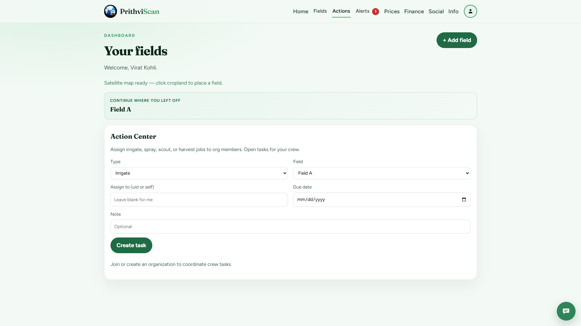
Action Center
-
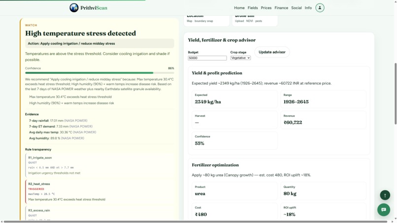
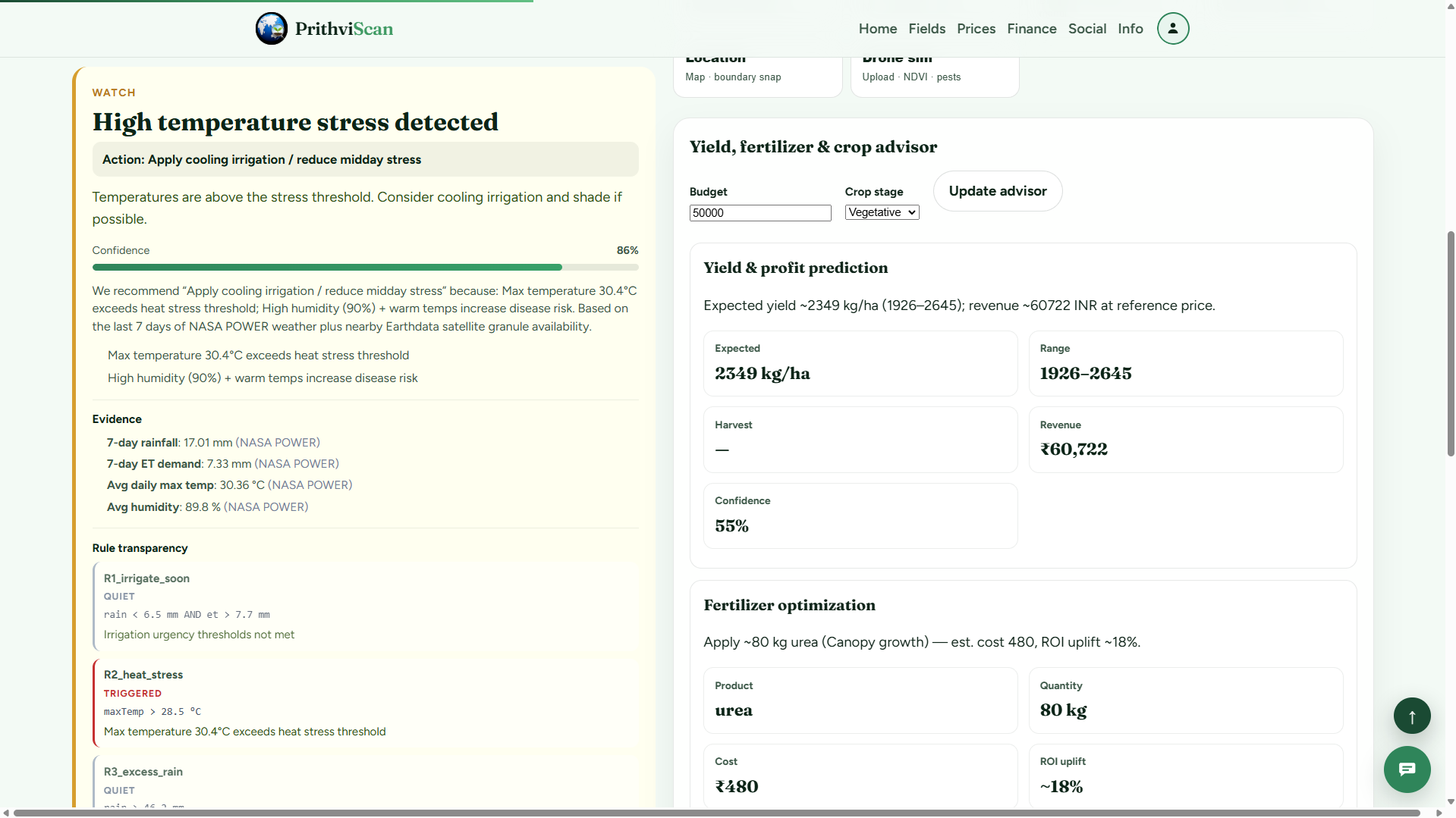
Yield Advisor
-
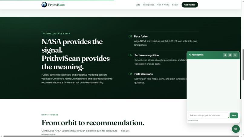
AI Assisstant
-
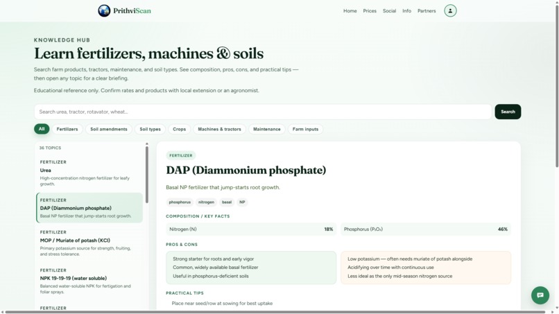
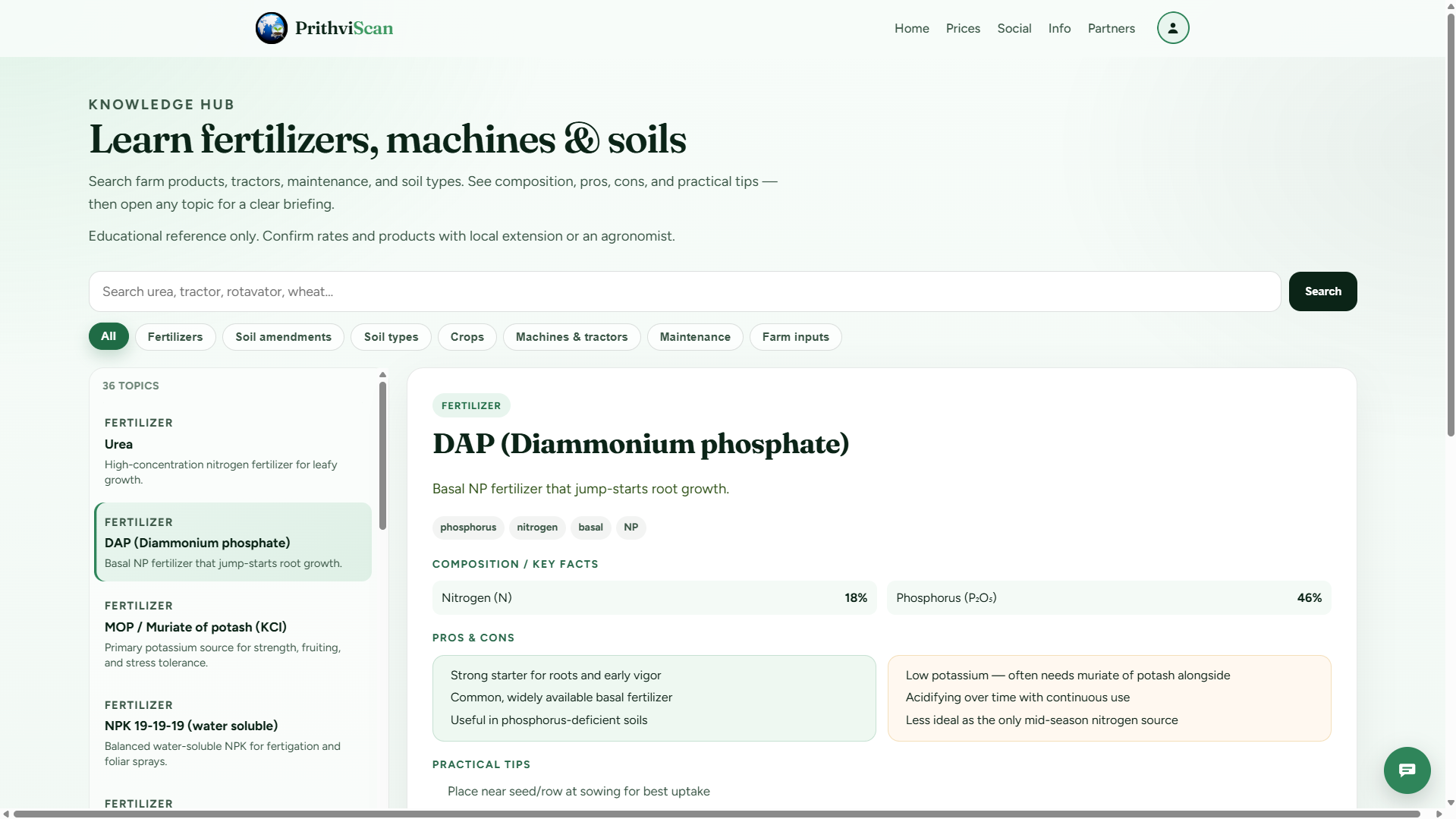
Learn about farming products like machines, fertilizers, crops, etc.
-
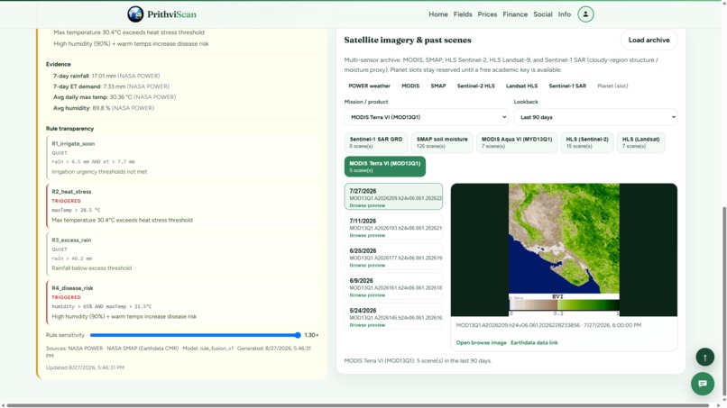
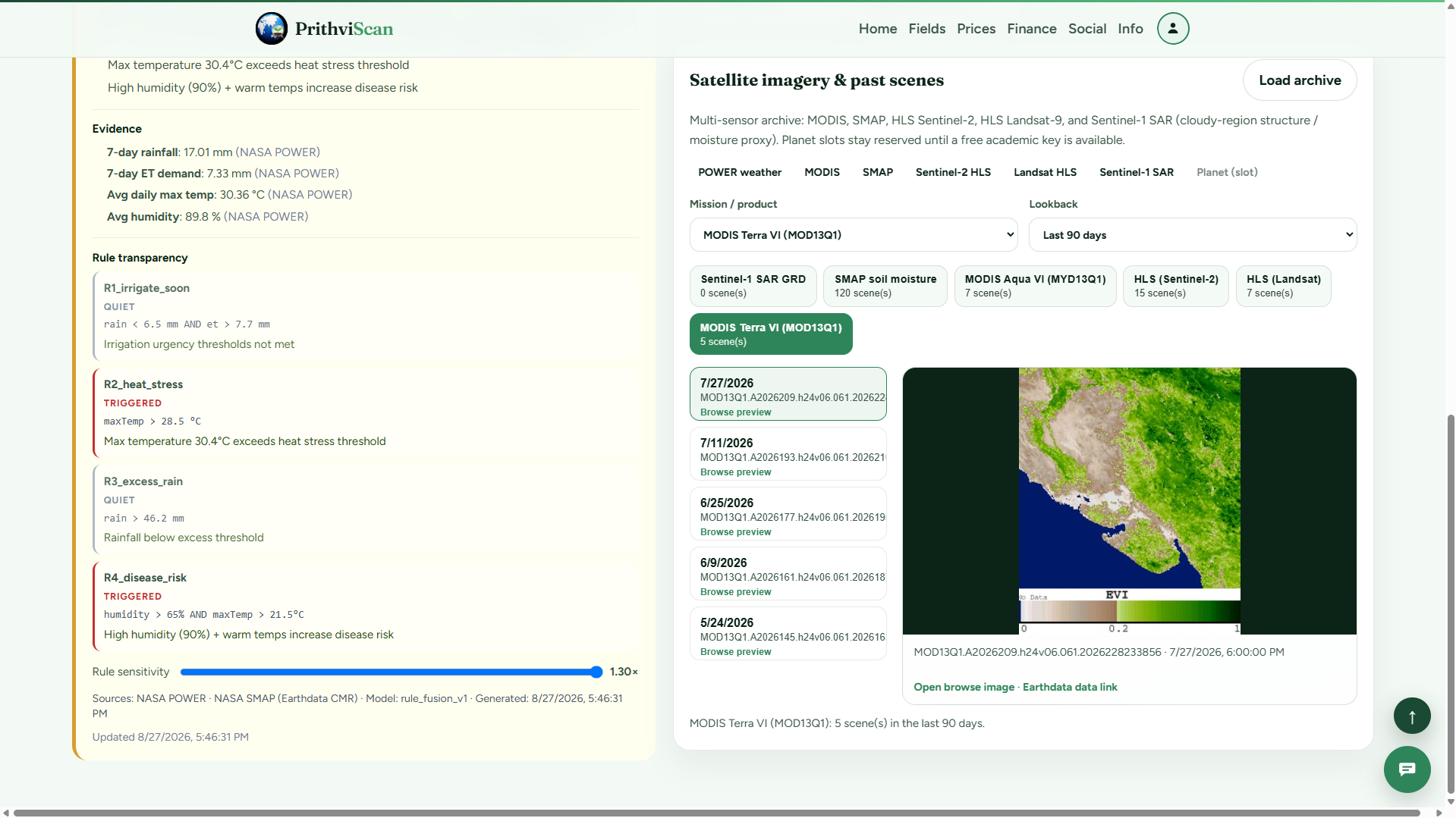
Satellite Imagery
-
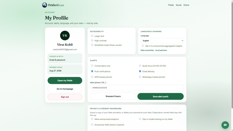
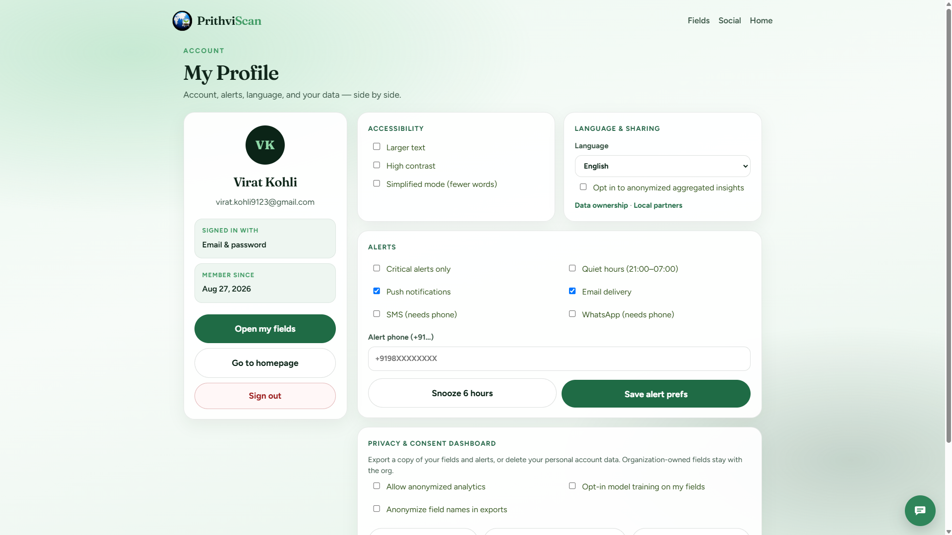
My Profile
Inspiration
Aha moments happened every day during farming activities when small-scale farmers had to decide whether or not to start irrigating, apply pesticides, or harvest crops without being aware of their land conditions or receiving any support from agronomists or satellite images from NASA, despite having access to advanced Earth intelligence data published by the organization. What if such information were as intuitive as adding a marker on the map? In this case, the transformation of raw data would provide clear recommendations for actions to take—irrigate tomorrow, monitor heat stress levels, and assess soil moisture in Indian villages, American communities, and all across the globe for FPOs.
What it does
PrithviScan is an Earth Intelligence Platform in which farmers log in, mark fields on a satellite map, and gain actionable insights based on their fields through NASA data, weather APIs, and machine learning.
How I built it
While constructing applications with vanilla JavaScript modules, HTML, and CSS using Firebase Hosting in an app-like manner reminiscent of progressive web apps, there lies an interest in how each piece fits together. User authentication, management of user information, fields, organizations, alerts, and even conversations occur with Firebase Authentication and Firestore databases governed by rigid security protocols. Cloud Functions allow NASA summary analysis, fusion, satellite searching, trend predictions, irrigation yield calculations, and artificial intelligence conversation to occur, using secrets to protect data. Machine learning is accomplished through Python scripts to train field classifiers. Modularization occurs through AI providers, and custom design takes place within the user interface.
Challenges I ran into
NASA data translation for farmers' use, keeping all confidential information away from the client's eyes, managing Firebase plan limitations, implementing a robust local AI implementation under the restrictions imposed by CORS, designing an elegant RBAC system for both individuals and corporations, performing scalable ML training operations, and resolving cache problems to ensure proper updates for users have been challenges that I have overcome.
Accomplishments that I'm proud of
Shipping live products, creating an entire pipeline from maps to insights to alerts, training an image classifier on 27k images with excellent accuracy, building DPDP features and functionality for our customers, supporting six countries simultaneously, and incorporating satellite imagery, weather data, financial data, team collaboration capabilities, and machine learning all within the same code base while maintaining simplicity.
What I learned
Data about Earth is valuable only when turned into actionable insights; security is fundamental at the foundation level; access controls impact the product design process; machine learning demands consideration throughout the entire pipeline; implementation itself is a characteristic; and agricultural applications require region-specific modeling beyond simple string translations.
What's next for PrithviScan
The next steps involve deploying the model onto the map gate interface, overlaying HLS 10m NDVI images, providing real-time stream data of rainfall from GPM, implementing FCM notifications, integrating further with India's requirements, providing partner APIs, constructing voice-first conversational flows in native languages, and fine-tuning the model based on farmers' ground truth information. Deploying this machine learning solution directly onto the system
Built With
- cloud
- css3
- firebase
- firestore
- gemini
- geojson
- html5
- javascript
- machine-learning
- numpy
- ollama
- opencv
- openrouter
- pwa
- restapis


Log in or sign up for Devpost to join the conversation.