Devpost
Participate in our public hackathons
Devpost for Teams
Access your company's private hackathons
Grow your developer ecosystem and promote your platform
Drive innovation, collaboration, and retention within your organization
By use case
Blog
Insights into hackathon planning and participation
Customer stories
Inspiration from peers and other industry leaders
Planning guides
Best practices for planning online and in-person hackathons
Webinars & events
Upcoming events and on-demand recordings
Help desk
Common questions and support documentation
Sort by:
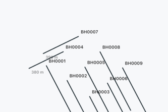
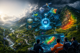
A Flutter-based geological field mapping application featuring an AI-assisted Drillhole 3D Viewer for interactive visualization of lithology, assay, and borehole data.
A software for a robot that maps a home, finds and describes every object with a vision-language model, and answers questions about the house — while anonymizing every face before it leaves the robot.
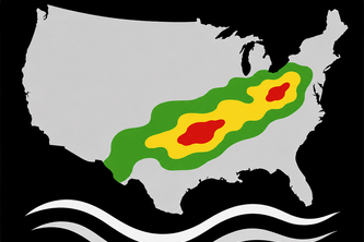
XGBFFP turns XGBoost flash-flood forecasts into interactive, explainable guidance, with its 75- and 100-km models capturing over 90% of moderate-or-greater cases.
A locally developed emergency monitoring, response-coordination, and public-safety portal for Calanasan, Apayao—with potential for adaptation by other remote and hazard-prone communities.
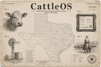
CattleOS combines open outbreak data with herd records to give ranchers local screwworm alerts, smarter inspections, and a practical operating system for 21st-century ranching.
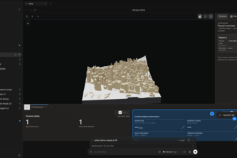
GRID is an AI city operating system that turns fragmented urban data into clear decisions letting planners ask the city questions, simulate tradeoffs, and act with evidence instead of guesswork today
Evidence, not guesswork, for deforestation-free supply chains. Turns farm plots and real satellite screening into an auditable EUDR decision: ready to declare, human review, or blocked.
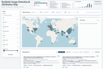
An interactive research intelligence map connecting papers, authors, and institutions in synthetic image detection & attribution to reveal research trends, gaps, and collaboration opportunities.
Transforming Emergency Response Through AI.
Ask Earth in natural language to understand feasibility and reality.
Platform: a real-time Sydney public transport app with live occupancy, mid-journey replanning, GPS-tracked journeys, and honest data. No fake “on time” claims ever.
Toronto crime prediction ML model trained on 475K real incidents, paired with a one-tap distress app. Prevention on one side, response on the other. Will be scaled to be Canada wide.
CrimeWatcher is a website that analyzes crime throughout Toronto. Using a model trained through Toronto Police's open data set, CrimeWatcher displays heat maps and predicted high-risk zones citywide.
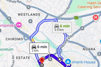
Predict flood-isolated communities before roads fail, helping responders deliver aid faster and smarter.
Our platform helps companies identify high-potential neighborhoods and properties through an interactive map, enabling smarter outreach, lower acquisition costs, and faster solar adoption.
SolarScope instantly estimates solar savings for any home, then connects that homeowner to financing through OneEthos and its contractors.
An AI-Powered Landslide Risk Intelligence & Early Warning Platform for Sri Lanka
Replenish rescues grocery surplus before it's wasted, routing it to the food banks and neighborhoods that need it most. Stores post, volunteers deliver, families get fed.
UDIARS unifies flood, wildfire, and earthquake intelligence into one live map that shows you real-time disaster risk and computes evacuation routes with voice navigation.
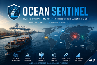
Predicting Maritime Risks Before They Disrupt the World
Earthquakes and natural disasters don't wait for your cloud provider. Aftershock keeps people checking in safe even when an entire AWS region goes down, across two regions at once.
AI infrastructure readiness platform with a real satellite map for city planning, evidence review, and responsible AI investment decisions.
AI-Powered Civic Climate Intelligence