Devpost
Participate in our public hackathons
Devpost for Teams
Access your company's private hackathons
Grow your developer ecosystem and promote your platform
Drive innovation, collaboration, and retention within your organization
By use case
Blog
Insights into hackathon planning and participation
Customer stories
Inspiration from peers and other industry leaders
Planning guides
Best practices for planning online and in-person hackathons
Webinars & events
Upcoming events and on-demand recordings
Help desk
Common questions and support documentation
full-stack app developer specializing with Esri ArcGIS SDKs
Predict. Position. Respond.
Plate Shifters is a GIS-powered food rescue and redistribution platform that connects food vendors with homeless shelters to deliver leftover meals.
Navigating to the Unreachable.
Chart your cart!
PinHelp leverages location intelligence and mapping analytics to connect community members with nonprofit organizations, mapping real needs to real opportunities for impact.
The ultimate solution to boost civic engagement, contributing to a more intelligent world.
Conservation platforms tell us what is at risk. Canopy Connect helps people understand why it matters by connecting personal tree stories with conservation insights, inspiring advocacy and action.
Turning surplus food into rescued meals in a safe, fast, and timely manner.
What if cities knew which bike lane to build next? Our ArcGIS tool identifies network gaps and ranks projects by safety, demand, connectivity, and cost, helping planners make informed investments.
See environmental risk. Understand community vulnerability. Own your health.
Inspired by our teammate Kyle's experience growing up on a farm in New Hampshire, we created Farm Assist, a user-friendly GeoAI-powered farm management assistant.
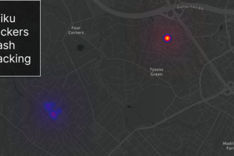
The ability to track where your trash goes can lead to a cleaner community, instill responsibility to individuals and lead to a cleaner world. Track Your Trash helps provide insights into this issue.
Join Zero Heroes! Team up, eco-champions! Save the planet through exciting quests – beach cleanups, tree planting, and more! AI-powered recommendations, dazzling dashboard. Download now, have fun!
A web app to help you find affordable housing!
Our app assesses hazard occurrences (volcanoes, earthquakes, hurricanes, tornadoes, floods) monthly, creating safe travel routes based on low to severe risk areas.
Impact-a-pedia is an interactive and educational experience designed to inspire minds of all ages to create the world they want to see by harnessing the power of ArcGIS.
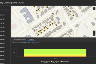
As a software company specializing in geoinformatics, Esri could help both customers and government agencies by analyzing and visualizing potential and ongoing ADU constructions.
For those who walk for the journey or those who are in need.
Mastering ArcGIS Through Conversation!
Trying to plan a road trip with your friends, but don't want the crocodile tears?
We plan to build an emergency evacuation application which allows users to streamline evacuation and edit necessary evacuation routes based on new hazards, such as fires blocking doorways.
Our app is a user-friendly mobile app that has two primary features: pinning free food found or donated and finding free food nearby. Except for food, the app can be further used to identify events.
trailmatch is a query app that helps people see the beauty of the world. Using GIS data, trailmatch shows its users the best hiking trails to watch sunsets, see superblooms and more.
Exploration, accessibility, and community for all.