
Inspiration
The world is full of beautiful places. As young adults with a love and appreciation for nature and the outdoors, we wanted to create an application that uses GIS in order to help users discover the best hiking trails to see beautiful views, sunsets, superblooms, and more.
What it does
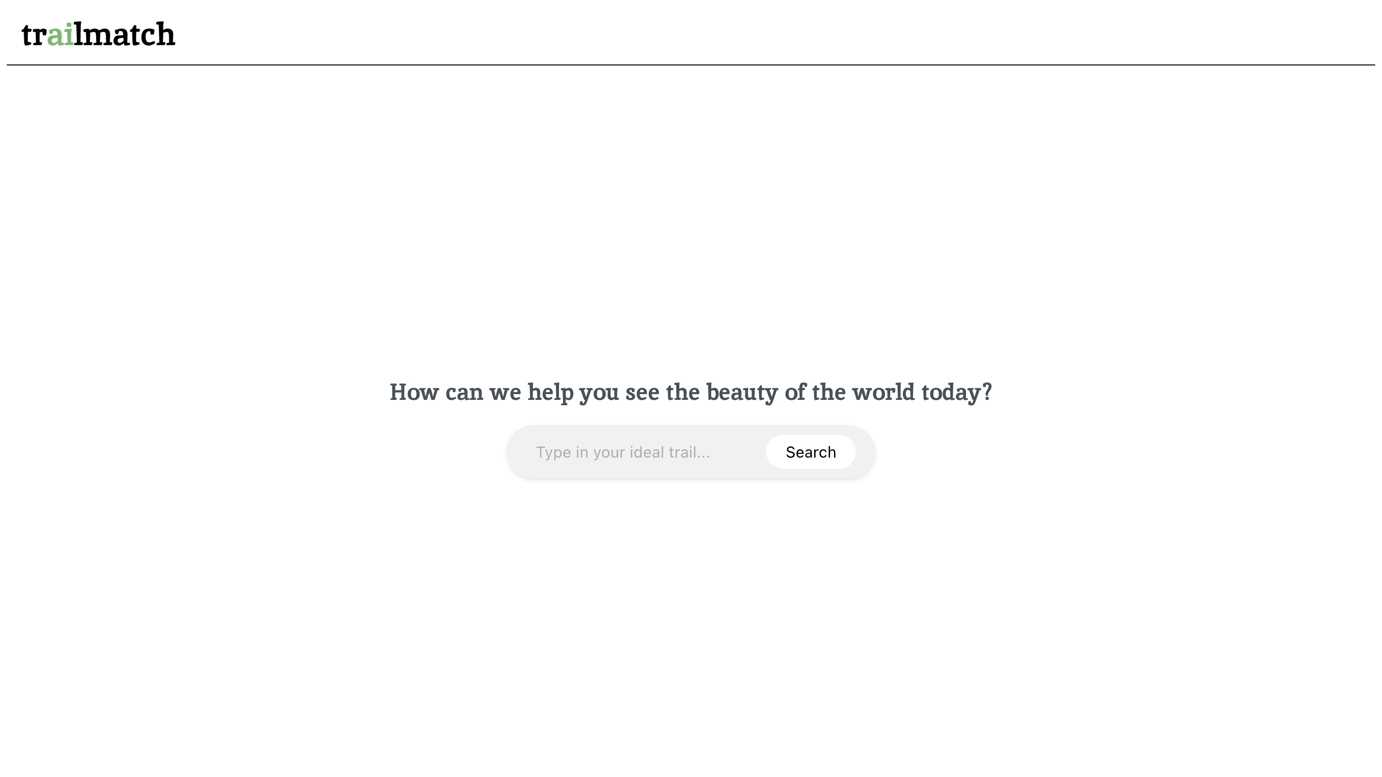
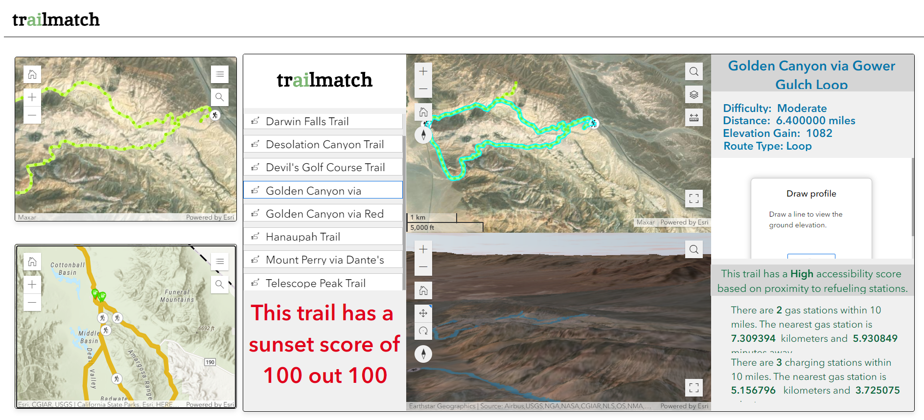
We built a web application that uses AI to recommend the best hiking trails based on the users preferences. Users are prompted with the question "How can we help you see the beauty of the world today?" followed by a search bar that functions similarly to ChatGPT. Once the user types in what kind of trail they are looking for, trailmatch populates 6 recommended trails. After the user chooses their trail and clicks the tile, an interactive map is provided and includes the following:
Accessibility score and map, Sunset score and view, and Difficulty, Elevation gain, route type
How we built it
To build this web app, we primarily used three technologies: ReactJS, ChatGPT API, and ArcGIS Online tools. ReactJS was used to build the website’s interface, ChatGPT API was implemented into our website’s search function, and ArcGIS Online tools (Instant Apps and Experience Builder) were used to display each recommended trail and its related data.
For the map rendering, we used ArcGIS pro, online and experience builder. We used Road Network Analysis in order to get accessibility data, such as distance from a gas station, and View Shed Analysis to get the sunset score. To help the user better visualize their results as well as make our UX/UI more interactive, we used 3D Scene Viewer as well as Experience builder.
Challenges we ran into/Accomplishments we're proud of
Both the biggest challenge we ran into and the accomplishment we are most proud of was integrating ChatGPT API to do natural language processing. Additionally we faced the challenge of gathering the View Shed Analysis data in order to create a sunset score, but become another big accomplishment when we retrieved the scores and implemented 3D scene viewer to see a simulated view of a sunset from the trail.
What we learned
The biggest thing we learned during this hackathon is how to merge software engineering with geography to give the user the most immersive experience possible. To be able to do so, we have to concretely demonstrate that the selected hikes are tailored to the user's wants as closely as possible with both data and graphics.
Thanks to our mentors, we were able to pick up several ArcGIS Online tools like Instant Apps Experience Builder were essential to make our application as interactive as possible. To drive the main functionality of our web application, we learned about natural language processing and basic UI development via Figma.
We also learned how to embed several ArcGIS Online Products into our web application.
What's next for trailmatch
Our future goal for trailmatch is to develop it into a mobile application so that it can have offline capabilities for our users. A mobile mockup will be included in our presentation.


Log in or sign up for Devpost to join the conversation.