Inspiration
Food waste remains a critical issue across the United States. In 2024, 47.9 million people lived in food-insecure households, with 1 in 7 households experiencing food insecurity. At the same time, an estimated 86% of surplus food approximately 60 million tons each year was discarded instead of feeding those in need. This striking disconnect between food surplus and food insecurity highlights the need for more effective food recovery solutions. This issue extends beyond large scale food systems and affects everyday life. Unexpected schedule changes, busy weeks, or last-minute travel can leave people with perfectly good food that spoils or is trashed before it can be used. While these situations may seem minor on their own, they collectively contribute to a much larger problem of unnecessary food waste. We were inspired by this opportunity to bridge surplus and need, Surplus Signal provides a simple and reliable way for individuals to redirect excess food before it goes to waste. By connecting donors with food banks, community organizations, and people who need nutritious food most, the platform helps reduce waste, improve food recovery, and strengthen community access to essential resources.
What it does
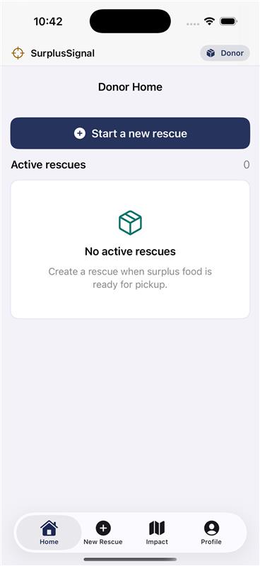
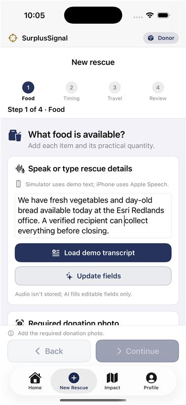
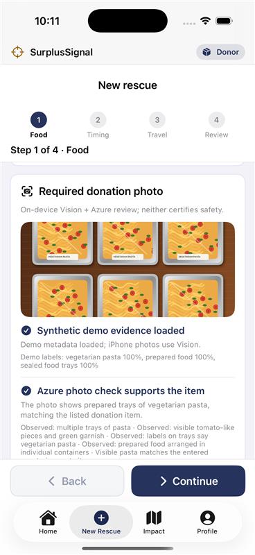
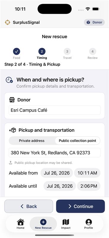
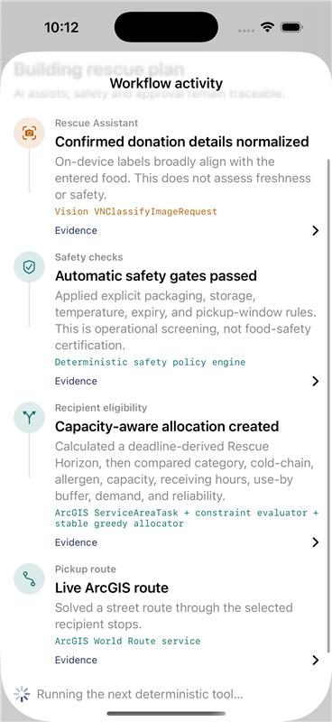
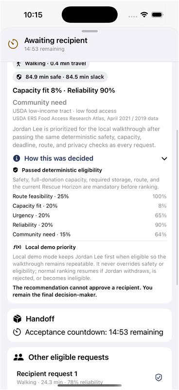
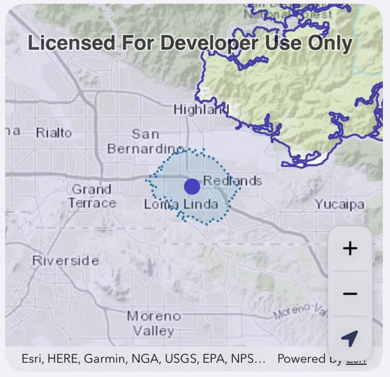
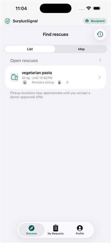
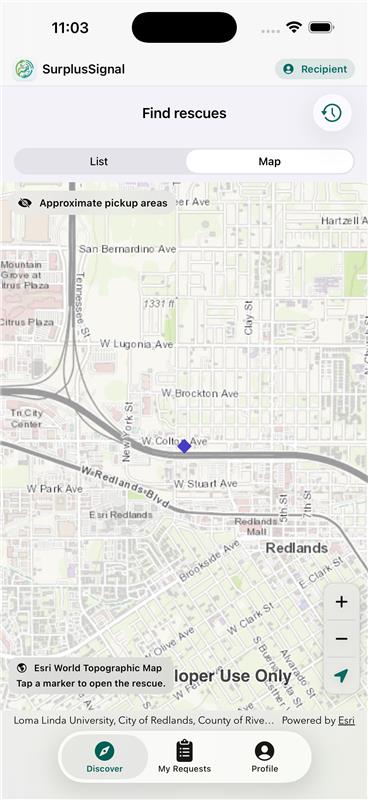
Surplus Signal turns surplus food into safe, actionable rescue plans by guiding donors through a simple intake process using photo classification and voice or text input. The app applies food-safety checks, matches donations with suitable recipients based on capacity and constraints, and generates optimized pickup or delivery plans. Using the ArcGIS Maps SDK, it visualizes routes, travel times, and service areas to support efficient, location-aware decision making. Donors manage and approve the final plan themselves, ensuring speed while maintaining accountability. With multiple rescue modes, privacy protections, and a transparent history of donations and outcomes, Surplus Signal provides a fast, reliable way to redirect excess food to those who need it most.
How we built it
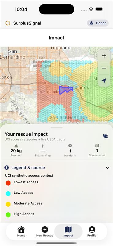
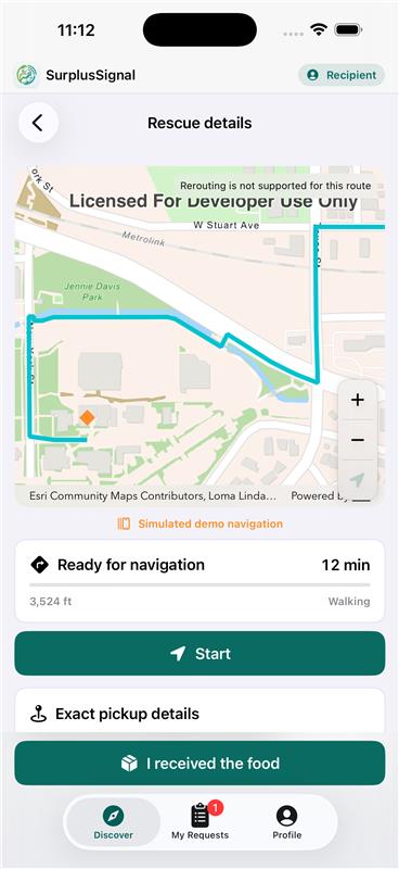
We built SurplusSignal as a native SwiftUI iOS app using the ArcGIS Maps SDK for Swift, with World Service Areas to compute live "Rescue Horizons," World Route and RouteTracker for pickup navigation, and ArcGIS-hosted USDA/UCI layers for community impact context. A deterministic on-device store handles safety, eligibility, and matching, while Apple Speech/Vision and a bounded Azure OpenAI gateway assist with intake and photo review. Firebase powers authentication with server-assigned roles, and the stack is validated with Swift, Node, and Azure tests plus an Esri dependency audit.
Challenges we ran into
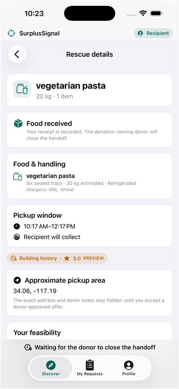
Balancing recipient privacy with accurate matching was a core challenge. Donors never see requester markers, so we had to rank neighborhood-coarsened requests by feasibility and capacity without exposing exact locations. Live ArcGIS Service Area analysis requires iOS 18+, so we built clearly labeled local-estimate fallbacks to keep the app usable on older devices without faking live results. Keeping AI strictly advisory meant bounding every Azure payload (no names, coordinates, or private data) and revalidating all AI output before it ever reached a donor. Building the loopback shared-snapshot service for the two-simulator demo, syncing state in real time without a production backend, was its own late addition under time pressure.
Accomplishments that we're proud of
We're proud of building a fully working end-to-end rescue flow, from intake to matching to navigation to completion, where every safety and eligibility decision stays deterministic and human-approved, with AI kept strictly advisory. Getting live ArcGIS Service Area analysis and route-aware matching working alongside graceful local-estimate fallbacks felt like a real technical win. We're also proud of the privacy architecture: recipient locations stay coarsened and hidden until acceptance, and Azure never sees names, coordinates, or private details. Finally, pulling together a repeatable two-simulator live demo, with donor and recipient interacting in real time, in the hackathon timeframe was a solid accomplishment on its own.
What we learned
None of us had worked with ArcGIS before, so learning the Maps SDK for Swift, Service Area analysis, and RouteTask/RouteTracker for live routing and navigation was a fun and rewarding challenge. We also learned how to design around unreliable conditions, like unsupported iOS versions, by building honest fallbacks instead of faking results. Working with AI as a strictly advisory layer taught us to think carefully about data minimization and revalidation rather than trusting model output blindly. Overall, it was exciting to pick up a whole new geospatial tech stack as a team in just one weekend.
What's next for Surplus Signal
Looking ahead, we plan to make Surplus Signal even more dynamic and responsive by integrating real-time data and communication features. This includes incorporating live traffic updates to further optimize pickup and delivery routes, enabling direct chat between donors and recipients to streamline coordination, and factoring in daily weather conditions to ensure safe and reliable food transfers. Together, these enhancements will improve efficiency, reduce uncertainty, and make the platform more adaptable to real-world conditions.


Log in or sign up for Devpost to join the conversation.