Devpost
Participate in our public hackathons
Devpost for Teams
Access your company's private hackathons
Grow your developer ecosystem and promote your platform
Drive innovation, collaboration, and retention within your organization
By use case
Blog
Insights into hackathon planning and participation
Customer stories
Inspiration from peers and other industry leaders
Planning guides
Best practices for planning online and in-person hackathons
Webinars & events
Upcoming events and on-demand recordings
Help desk
Common questions and support documentation
full-stack app developer specializing with Esri ArcGIS SDKs
Find your next coffee and learn about it's story.
Utilizing ArcGIS Pro, machine learning spatial analyst tools, historic climate-related damages & climate data, we can predict future FEMA Risk Indexes based on climate model projections.
Where donors meet donation centers.
The pandemic changed how we live, work and play. With Street Smart, powered by ESRI's newly released GeoAnalytics Engine, take back control with near real time mobility data.
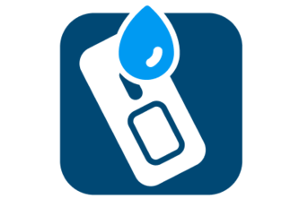
Find your path to safety.
Using the ArcGIS Maps SDK for Unity, our team set out to make a Virtual Reality Biking Simulator, that allows the user to experience biking outdoors, while staying in the comfort of your own home.
Use our android based AR-game TrEsri Hunt, powered by ArcGIS Online map to spot all the Globies hidden in Building L at Esri campus using the clues.
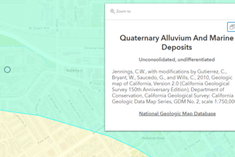
Are you curious to know what type of rocks or faults are just below you? This simple Javascript application can do that! It can also be used for other underground infrastructure in the future!
Using the deep learning capabilities in ArcGIS Pro and the ArcGIS Python API, we developed a tool that will automatically create LRS event features given street level imagery of street signs.
We enhance community engagement by connecting nonprofits with donors based on location and need. Local people helping local organizations to improve their shared community.
TestRouter is a mobile-friendly web-based application that empowers community members to more easily find and travel to participating locations with COVID-19 tests in their area.
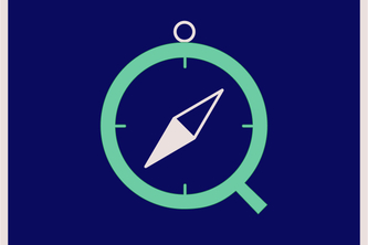
A pocket atlas for your browser
Bring your designs to the community
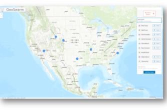
Enables remote distributed teams to collaborate and swarm an incident or project spatially in real-time built on ArcGIS Platform
Investigating the impact of human influence on aquatic ecosystems.
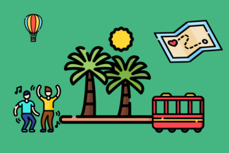
Find local events and and activities in San Diego, based on who you're with and how you feel.
Analyze agricultural field sustainability practices
GrowVert is about bringing to the community healthy and tasty vegetables using the “Science of Where” to promote sustainability in our cities.
Flood Watch uses the National Water Model to predict flood extents and immediately notify users if their house is at risk of flooding.
Translating Digital Footprints into Real World Effects.
Mapping Urban Carbon Dioxide Concentrations from Space
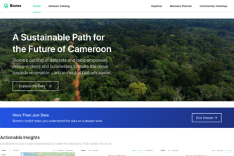
Biome is a curation of tools and datasets that empowers decision-makers and businesses to lead Cameroon towards a future driven by renewable, carbon-neutral biofuels.
Using GIS and Software Development to improve access to bike transit in Washington DC
safejourney is the safety with numbers app, where we harness the power of GIS to get you to your destination in the safest way possible. Whether you're walking or biking, safejourney has you covered.