Devpost
Participate in our public hackathons
Devpost for Teams
Access your company's private hackathons
Grow your developer ecosystem and promote your platform
Drive innovation, collaboration, and retention within your organization
By use case
Blog
Insights into hackathon planning and participation
Customer stories
Inspiration from peers and other industry leaders
Planning guides
Best practices for planning online and in-person hackathons
Webinars & events
Upcoming events and on-demand recordings
Help desk
Common questions and support documentation
full-stack app developer specializing with Esri ArcGIS SDKs
Birds tell us first!
Empower the community to help the less fortunate by creating a platform which allows outreach shelters connect to on another as well as the members of the community.
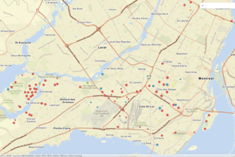
Helping Montréalers track current 311 calls in their neighborhood.
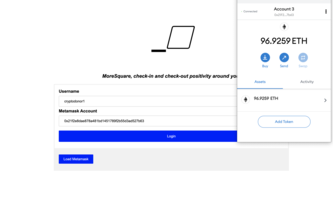
A Decentralized Social Network platform powered by the Ethereum blockchain that allows users to create geospatial check-ins create events for civic engagement and social activities.
Throw messages around the globe to make penpals in other countries! Get the truth by finding news in other places and asking locals if it is true!
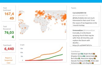
Misinformation is increasing the spread and damage of COVID-19. We built a platform to monitor misinformation, analyzing over 100,000+ scraped news headlines and search trends focusing on Africa.
A website that uses prediction models to inform the public and promote social distancing/working from home!
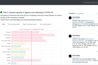
Bot monitoring COVID-19 outbreak in near real-time and providing insights through automated reports
The idea is to develop an app that people will be filling how they feel and then the system is able to track places with high number of corona symptoms then the authorities can follow up.
Virdash is a resource hub to increase awareness and accurate information on COVID-19 in Africa. It is an open-source project to improve areas of communication and early detection of the virus.
You're new to New York and need to find housing. Our project helps you find a fair price for your new home, and shows you the nearby hotspots as well.
A tool to help policy makers create strategies to address long-term-care in aging populations and help people learn more about their health care insurance plans, providers, and coverage information.
Explore maps of your favorite music artists! Find out where they're from and when they're coming to play in your town.
Consume app: See where planes are in AR
We proactively prepare communities to identify environmentally sensitive areas and prime them for success using The Science of Where.
A mobile application to track your geography 'bucket list' - where you have been and where you want to go.
An interactive and educational experience through time, exploring the history of life on Earth
Bitten by a travel bug, but don't know where to go? Is finding a good, safe place within your budget too taxing? Travel Bug simplifies the planning so you can focus on exploring!
Looking for that perfect selfie? Curious what you can see and others can't? Use Photo Op to find the best location to take that photo by utilizing time, location, weather, elevation, and more.
Easy-to-use app that enables outdoor enthusiasts to plan their next adventure
Increase disaster preparedness and responsiveness using our JavaScript Web Application and Operations Dashboards
Leaf it to us, just add your location and MapScape will suggest a set of plants that would grow well in your area.
An application to plan a better future for the urban forest in cities.
An application that takes in weather data into account with surface covers that informs dog owners and walkers of unsafe conditions when walking their pet.