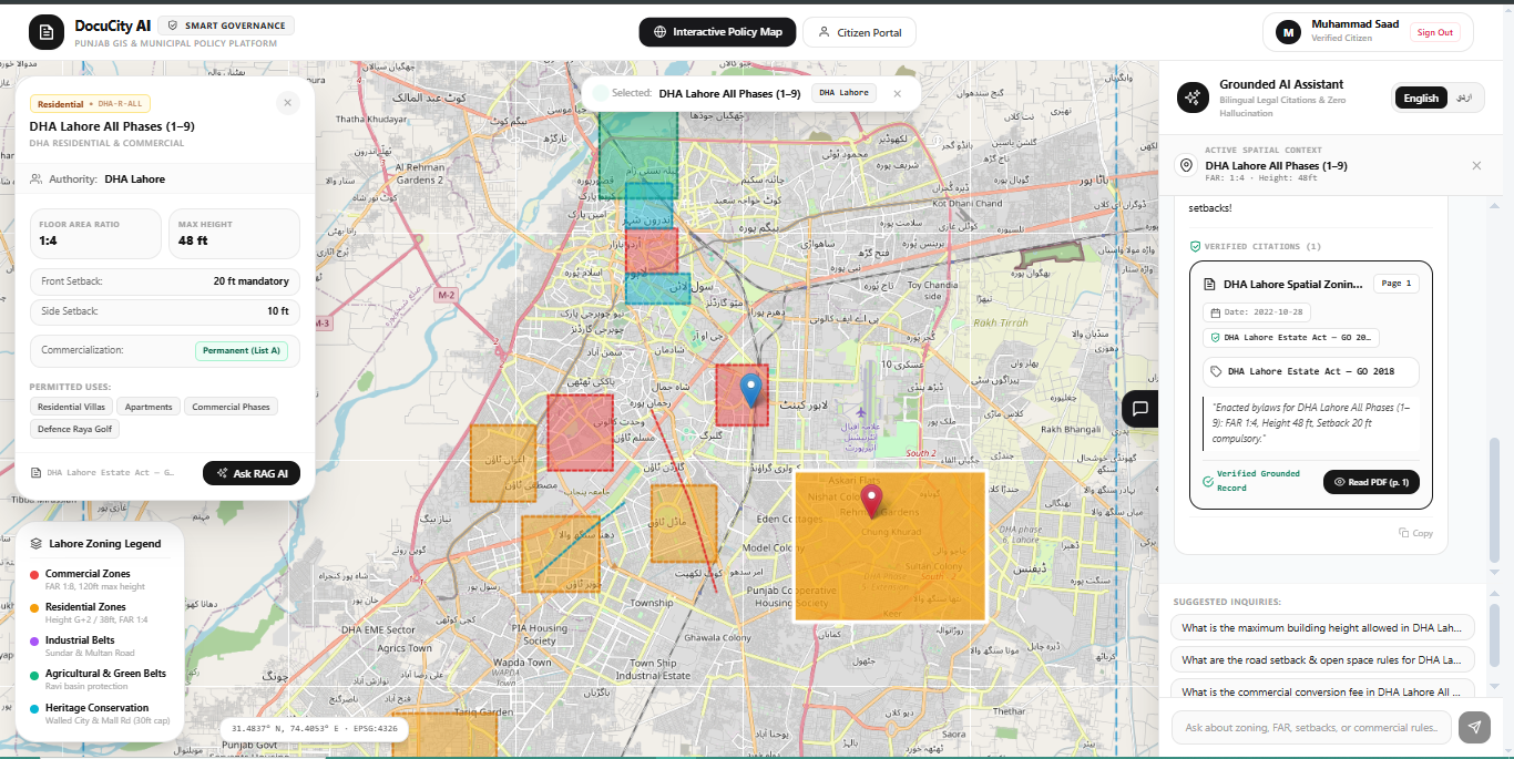
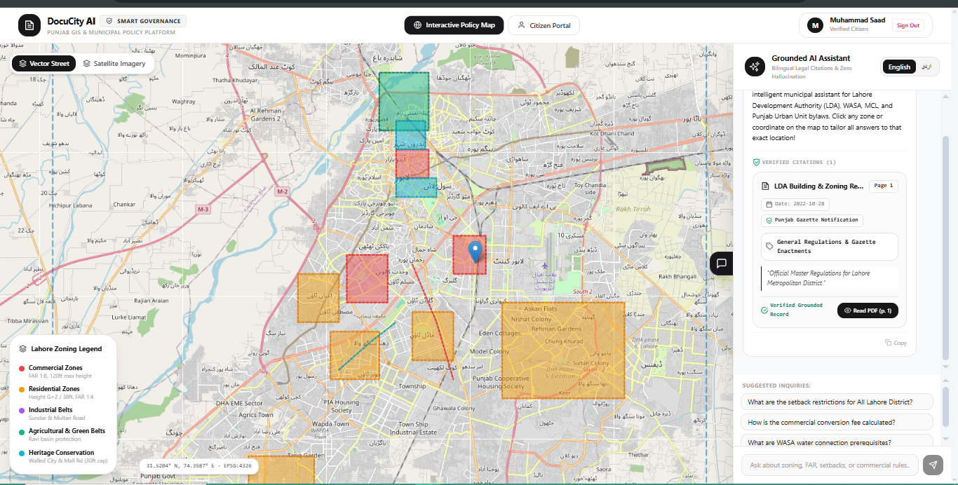
About the Project 🏙️ Inspiration: Modern metropolitan cities generate massive volumes of municipal documents—including zoning regulations, land-use master plans, building bylaws, water infrastructure notifications, environmental reports, and gazette amendments. In Lahore, authorities such as the Lahore Development Authority (LDA), WASA, Metropolitan Corporation Lahore (MCL), and the Punjab Urban Unit publish these critical policies across fragmented websites as static, unstructured PDFs or scanned Urdu/English gazette notifications.
Citizens, architects, and urban planners waste countless hours manually sifting through hundreds of technical pages to answer basic questions like setback rules or height limits. Simultaneously, municipal GIS portals rarely connect directly to official legal texts. We created DocuCity Lahore to bridge this divide: transforming static municipal records into a dynamic, bilingual, and spatially interactive knowledge ecosystem.
💡 What It Does: DocuCity Lahore combines Document AI, bilingual OCR, Geographic Information Systems (GIS), and Retrieval-Augmented Generation (RAG):
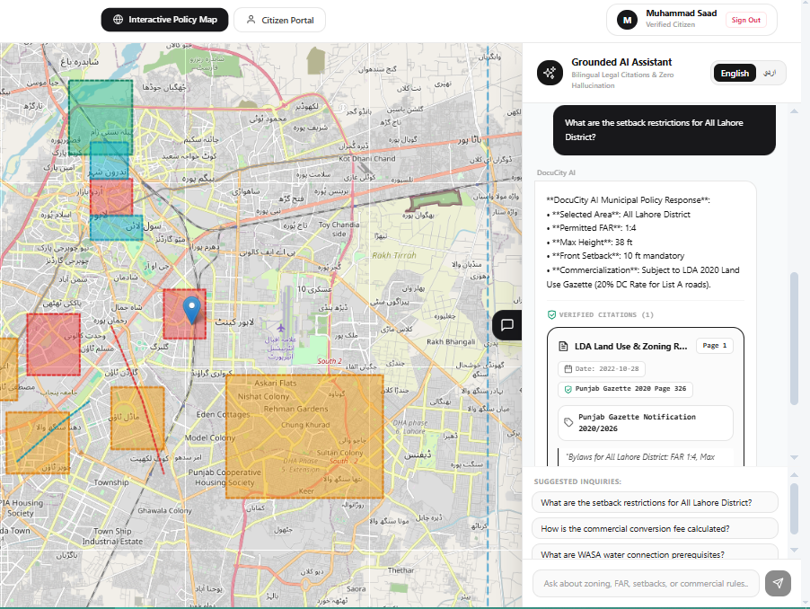
Interactive GIS Policy Map: Users can click on any zone, union council, or commercial corridor in Lahore to view active building bylaws, Floor Area Ratios (FAR), setback requirements, and maximum permissible heights.
Bilingual Conversational Assistant: Citizens and planners can query complex municipal regulations in plain English or Urdu (e.g., "What is the maximum building height allowed in Gulberg commercial plots?").
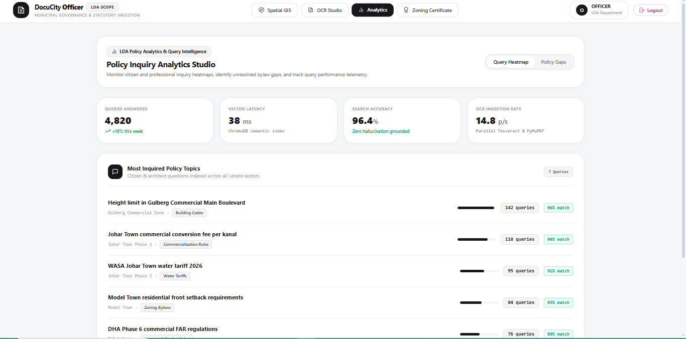
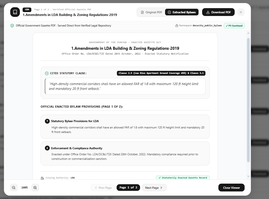
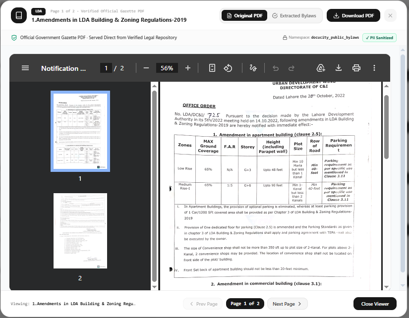
Zero-Hallucination Citations: Every AI answer is grounded in official law and linked to precise source citations (e.g., LDA Building Regulations 2019, Page 14, Section 5.2) with one-click PDF verification.
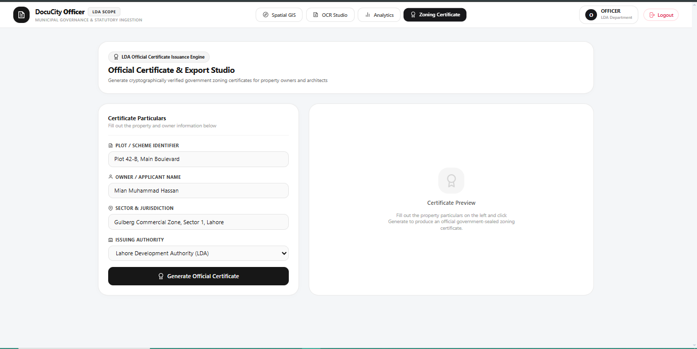
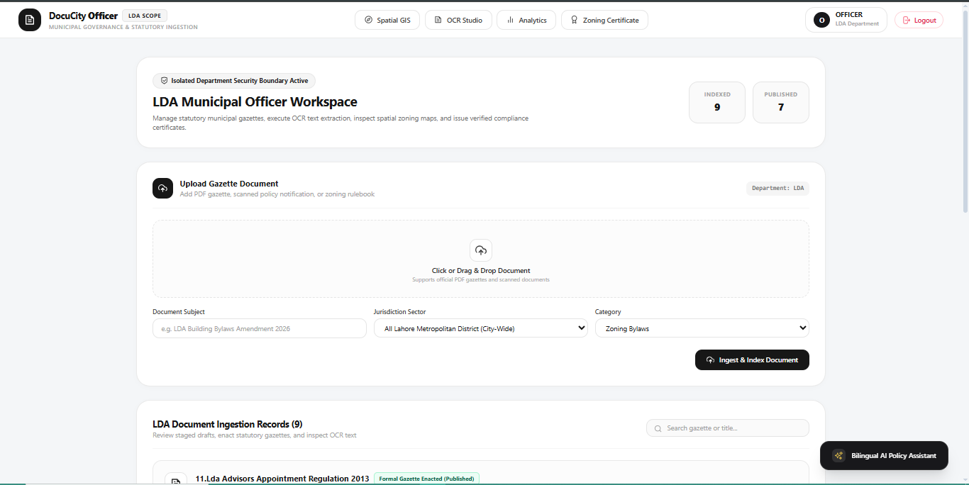
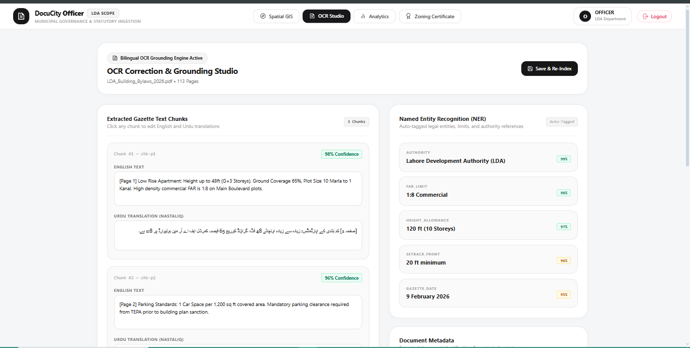
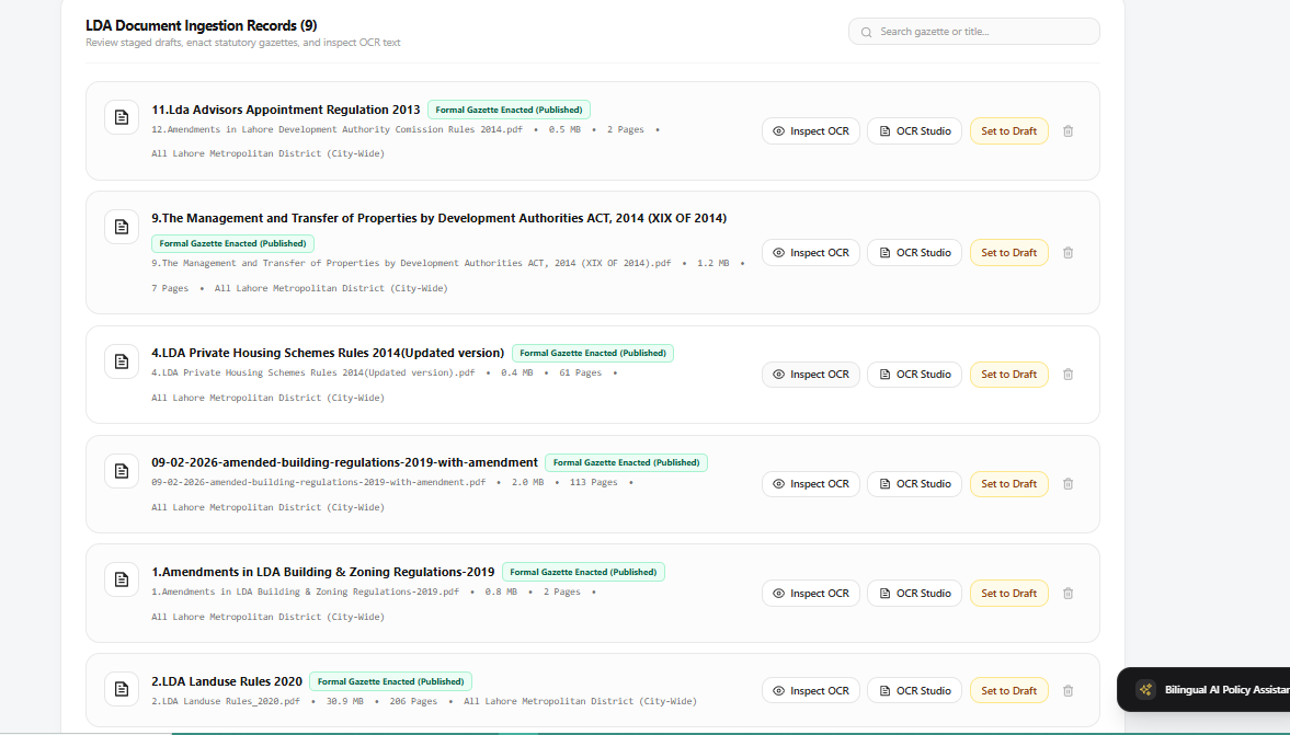
Municipal Officer Studio: An end-to-end management portal where officers upload scanned gazettes, review side-by-side OCR and entity extractions, edit polygon vertices with snapping, perform spatial conflict checks, and publish live to public maps.
🚧 Challenges We Faced: Complex Urdu Nastaliq OCR: Scanned municipal circulars often feature degraded scans and complex Urdu calligraphic scripts. We configured adaptive image pre-processing and bilingual text splitters to prevent character corruption.
Format-Agnostic Dynamic Parsing: Municipal documents range from 2-page office orders to 113+ page master plans. We built a dynamic router that auto-detects digital vs. raster pages to eliminate hardcoded scrapers.
Corridor & Spatial Buffering: Standard geocoding returns point markers rather than legal zoning boundaries. We implemented spatial road network buffering.
📚 What We Learned: Spatial-RAG Fusion: Augmenting semantic vector embeddings with explicit geographic metadata (Zone_ID , coordinates, and issuing department) significantly increases retrieval precision for municipal queries.Civic Trust Through Grounding: In legal and civic technology, conversational AI is only viable when backed by verifiable clause-level citations and visual PDF page references.Built With
Built With
- ai
- api
- chromadb
- cities
- css
- docker
- document
- fastapi
- gemini
- geojson
- geopandas
- gis
- leaflet.js
- next.js
- node.js
- ocr
- openstreetmap
- paddleocr
- pymupdf
- python
- rag
- shapely
- smart
- tailwind


Log in or sign up for Devpost to join the conversation.