Devpost
Participate in our public hackathons
Devpost for Teams
Access your company's private hackathons
Grow your developer ecosystem and promote your platform
Drive innovation, collaboration, and retention within your organization
By use case
Blog
Insights into hackathon planning and participation
Customer stories
Inspiration from peers and other industry leaders
Planning guides
Best practices for planning online and in-person hackathons
Webinars & events
Upcoming events and on-demand recordings
Help desk
Common questions and support documentation
Sort by:
Physics-based Tsunami Simulator System
PotholeIQ NYC is a smart map that helps New Yorkers see where the worst potholes are in the city. It uses public data to figure out which potholes are most dangerous and need fixing first.
NAVIGUIDE — NavSecOps and Route-as-Code NavSecOps: maritime route GeoJSON reviewed like code—GitLab CI + Duo agent call Gemini/Claude on MRs; GCP-hosted API, decision support on merge gates.
Estimate tract-level expected household earthquake loss for Los Angeles County using physics-based shaking, fragility functions, and socio-economic data.
Connecting dietary needs to healthier corner stores.
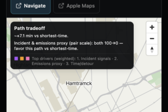
Web-based routing platform for Sydney that integrates graph-based path finding, traffic-aware travel time estimation, public transport APIs, and weather-aware route analysis
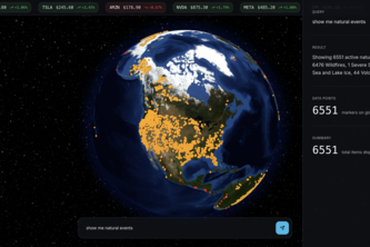
Atlas is science fiction brought to life - ask questions about the world and get real-time answers on a globe.
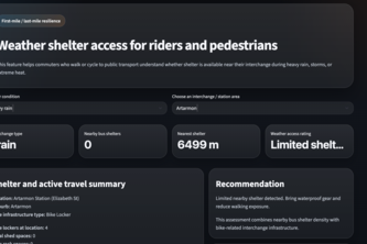
TripMate is a personalised commute assistant for Sydney public transport users that turns complex transport data into a fast, stress-aware daily briefing.
Rice Doctor AI is an ASEAN crop health ecosystem using AI to diagnose rice, corn, and palm with 85%+ accuracy, featuring a mobile scanner and gov dashboard for real-time monitoring.
Rail Drishti: An AI platform for Indian Railways using FastAPI & ML to process 200K+ records. Passengers get delay forecasts & alternate routes; admins track bottlenecks & simulate cascading delays.
NightShift Detroit helps late-night walkers compare routes using travel time, public-record risk signals, air-exposure context, and access to nearby help resources.
Disaster strikes, seconds matter, safety follows.
Understand the real estate market from every perspective.
Data-driven routing for a safer walk. Take the brightest route home.
An interactive website that lets you hear, see, and track the disappearance of life on Earth - country by country
Stress-test Policy before it hits the real world. (Engineering and Infrastructure)
An open-data space project that aims to help solve real-world problems using historical NASA datasets.
BathNav is a 3D campus navigation app that guides students from anywhere on campus directly to their exact room, seamlessly combining outdoor and indoor directions.
DontCollapse uses AI to identify high-risk urban zones by analyzing flood, infrastructure, and social data, delivering fragility scores and clear actions to prevent disaster impact.
Maps beaches globally, computes quick safety scores from wind and waves, and lets you click a country to view and compare nearby beaches for safer trip planning.
Oregon Observatory uses AI to map cluttered local news. By categorizing stories and tracking sentiment, it reveals the real trends shaping our communities.
international geospatial intelligence platform
Drop a pin, know if you can build — AI-powered land viability assessment for Canada's housing crisis.