Devpost
Participate in our public hackathons
Devpost for Teams
Access your company's private hackathons
Grow your developer ecosystem and promote your platform
Drive innovation, collaboration, and retention within your organization
By use case
Blog
Insights into hackathon planning and participation
Customer stories
Inspiration from peers and other industry leaders
Planning guides
Best practices for planning online and in-person hackathons
Webinars & events
Upcoming events and on-demand recordings
Help desk
Common questions and support documentation
Sort by:
We’re turning navigation from fastest route → safest route.
Guardians of the Salmon Path: Tracking harmful algal blooms and sediment along salmon migration routes. Real-time monitoring to protect migrating salmon and the aquatic ecosystems they depend on.
EmpowerAble — Care That Moves With You.
Find a neighborhood that fits your life, not just your budget.
TapMap turns your Madison address into a clear WaterScore using real well-level PFAS and contaminant data, mapping your service zone, risk factors, and community-safe insights in seconds.
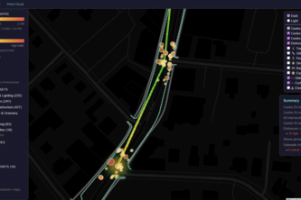
A smart‑city copilot that gives citizens safer routes, auto‑triages safety complaints with AI, and shows city planners where simple fixes can prevent the next crash.
A free API for governments to warn their citizens about landslides, dependent on live data.
AccessMaps helps cities and communities quickly identify the highest-impact wheelchair accessibility barriers which can be removed to unlock safer, more connected mobility to hospitals and other POIs.
Pinpoint Your Locus.
MaternalCompass: mapping Georgia’s maternal care deserts and using risk-weighted algorithms to help NGOs and governments access vital maternity care data and pinpoint where new clinics are needed.
A spin on the Pax Romana... Pax Jamaica is a data-driven mapping project that identifies traffic and accessibility chokeholds and pavement distress in Jamaica Plain.
We prevent wildfires by stopping dry lightning strikes with a prediction model and agent orchestration layer that deploys autonomous cloud seeding drones.
Offline-First Medication Scanner for Third World Countries
Real-time 3D construction builders for the golden era of Kingston
Disaster hits? EchoAid is here to help. Just say “I’m stuck,” and it finds the safest route to the nearest exit, guides you step by step, remembers your situation, and helps you get out safely.
Mundus_sub_Oculo - Precision spatial intelligence and global OSINT mapping
Ranking US counties by cost of living, so you can live comfortably in your new life
Excuse Sun: Physics-driven navigation for a cooler campus.
Access the world without barriers.
From floods to foresight (real-time climate decisions powered by agentic AI).
GeoTap is an interactive game.
Combining hazard mapping with tailored prevention plans, Foresight empowers communities to prepare for disasters before they strike.
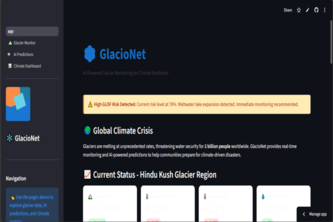
AI-powered sentinel for our melting glaciers—turning satellite data into real-time water security and early flood warnings for a climate-resilient future
Skimmon detects suspicious Wi-Fi signals from potential card skimmers and maps risks in real time, turning everyday users into sensors to help communities stay safer and prevent fraud.