Devpost
Participate in our public hackathons
Devpost for Teams
Access your company's private hackathons
Grow your developer ecosystem and promote your platform
Drive innovation, collaboration, and retention within your organization
By use case
Blog
Insights into hackathon planning and participation
Customer stories
Inspiration from peers and other industry leaders
Planning guides
Best practices for planning online and in-person hackathons
Webinars & events
Upcoming events and on-demand recordings
Help desk
Common questions and support documentation
Sort by:
Skimmon detects suspicious Wi-Fi signals from potential card skimmers and maps risks in real time, turning everyday users into sensors to help communities stay safer and prevent fraud.
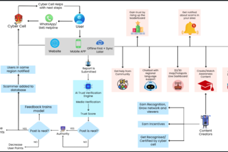
India faces rising digital scams due to lack of scam reporting system. ScamShield India is a simple, multilingual, privacy-first platform to report scams, verify messages, and get region-based alerts.
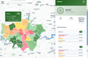
SafeRoute NYC: Safer nighttime walking routes. Compare shortest vs safest paths using real crime data. Includes panic button for emergencies.
Feel the city's pulse. Build its future.
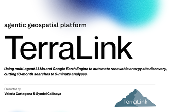
TerraLink tackles the net-zero bottleneck: slow, costly site selection for renewables. We use multi-agent AI and Google Earth Engine to find optimal sites in minutes.
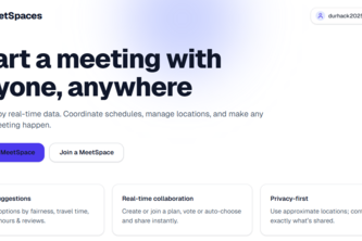
Arrange meetings anywhere, with anyone!
DroughtGuard is an AI-driven early warning system that predicts food insecurity risks up to three months in advance using data like rainfall, temperature, vegetation, and food prices using map.
Receipts over vibes. StayPilot X uses 311 noise data and computer vision to verify listings, then agents handle search, group consensus, negotiation and booking so travelers get the best, proven stay.
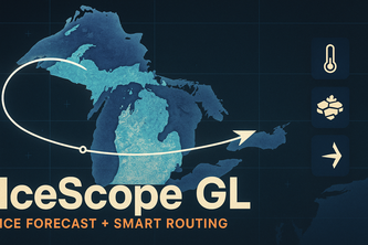
IceScope GL shows four-day Great Lakes ice forecasts, lake temperatures, and safe ship routing. A Python pipeline turns lake data into risk layers and route recommendations for faster decisions.
An educational and fun simulation of heat island effect over Durham
This project aims to broaden people's view on different countries and their culture/traditions with respect to their location, giving brief descriptions about what they are.
Geospatial app to quickly find and navigate to the nearest hospital, clinic, urgent care, or pharmacy. Starting in Maryland, scaling nationwide for faster, equitable healthcare access.
Trail recommender
A one-stop platform unifying official NSW fire, weather, and AFDRS feeds with maps, alerts, and offline safety tools — helping communities prepare and stay resilient.
from detection a natural disaster from open source data to planing a emergency response agent that can send alerts and notifications to the emergency responders
An interactive 3D globe predicting and visualizing climate-driven disease risks like malaria, dengue, and Lyme to help global health systems act before outbreaks.
This site and mobile app synthesizes the contributions that your district representative has made in your community. You can visually see the changes that your rep has made, and compare to old reps.
An AI-powered platform that allocates relief resources smarter, faster, and fairer during disasters—ensuring no zone is left behind.
"AI-powered satellite crop maps for India’s small farms." "Bringing space-tech to the fields: real-time crop identification for food security." "From sky to soil"
“See from Space, Grow with Grace”
The 24-hour city exploration game
“Appetizing business zones, mapped by taste to location.”
Find Your Place, Safely!
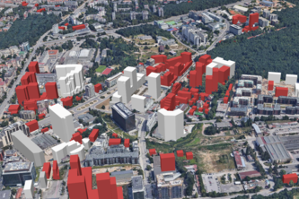
This maps is showing in fine detail how Sofia, Bulgaria would look like should all requested construction is fulfilled. It goes beyond the dry paperwork and allows you to look outside your window.