Devpost
Participate in our public hackathons
Devpost for Teams
Access your company's private hackathons
Grow your developer ecosystem and promote your platform
Drive innovation, collaboration, and retention within your organization
By use case
Blog
Insights into hackathon planning and participation
Customer stories
Inspiration from peers and other industry leaders
Planning guides
Best practices for planning online and in-person hackathons
Webinars & events
Upcoming events and on-demand recordings
Help desk
Common questions and support documentation
Sort by:
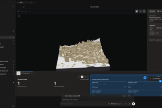
GRID is an AI city operating system that turns fragmented urban data into clear decisions letting planners ask the city questions, simulate tradeoffs, and act with evidence instead of guesswork today
Explore clouds, rain, wind, and terrain in 3D—turning official weather data into an interactive briefing for understanding extreme weather.
From investment criteria to evidence-backed deals. BuyBox Trace matches investor criteria with official property, tax, and flood records, then drafts insurance and financing inquiries.
Helping India Map Cencus Better
Evidence, not guesswork, for deforestation-free supply chains. Turns farm plots and real satellite screening into an auditable EUDR decision: ready to declare, human review, or blocked.
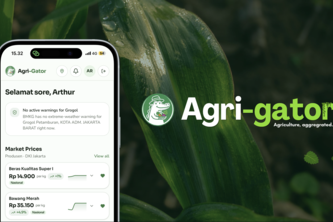
Agriculture, Agrigated.
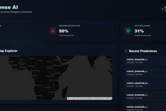
Turning Satellite Data into Environmental Insights.
UrbanPilot — AI agents that analyze any current address for climate, accessibility, and housing risk, then show you 2040 and 2075 predictions of what could come next.
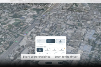
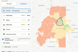
Spatial AI that scores Atlanta on climate risk and opportunity, shows exactly why each score landed where it did, and runs its scoring locally at a fraction of cloud-AI energy.
Atlanta's 2030 climate goal runs through its old buildings. Substrate turns benchmarking data into a ranked retrofit plan — cheapest carbon cuts first.
Walk It ATL helps planners identify walkability gaps by combining infrastructure data, AI-powered analysis, and resident feedback to generate targeted street improvement recommendations.
Signwatcher is a crowdsourced street sign monitoring app. It automatically detects obscured signs as you drive and makes it easy to report them to the city with one tap.
Real sites, real before/after for awareness then one simple action you can take to soften the impact of changes like these.
What if we taught people today that disabilities are just another way to say differently abled. Creating humans that are super!
We want to educate the NYC community on fare evasion in NYC subways, and to think about the question: Are your station more prone to fare evasion, or is there disproportionate police presence?
A simple interactive map that reveals where Texas data centers are located, helping people understand the hidden infrastructure behind the digital world.
Lootr scans objects into instant mini games. AI picks each mode fast. Pin games on a map so others discover and play what you leave behind.
Geospatial ML pipeline integrating NASA FIRMS, NOAA weather, & FEMA risk data to predict wildfire risk via Random Forest. Visualized evacuation insights using ArcGIS dashboards & interactive maps.
Choosing a Bad location = low footfall & lost revenue. RestaurantIQ uses Eris ArcGIS Census data & AI powered insights to find the best spot for your restaurant. Enter a city get top picks instantly.
A interactive web app to learn about different sea creatures that live in various parts of the ocean.
SonarPath — Real-time maritime routing that avoids whale habitats and NOAA sanctuaries. Drag your ship, watch the acoustic halo, and save fuel by slowing down. Quieter seas, smarter routes.
bottle pollution dropping simulator that allows you to predict the path of multiple spills using ocean current data to best prevent the spread of pollution enabling prevention before protected areas
OceanGuard Protection: We map Whale migration paths against massive ocean waste piles. We empower environmentalists to pinpoint intersection risks and optimize cleanup timelines for a safer sea.
Overfishing harms the biodiversity within an oceanic environment. As more overfishing occurs, wildlife and coral reefs are lead towards a major population decline.