-
-
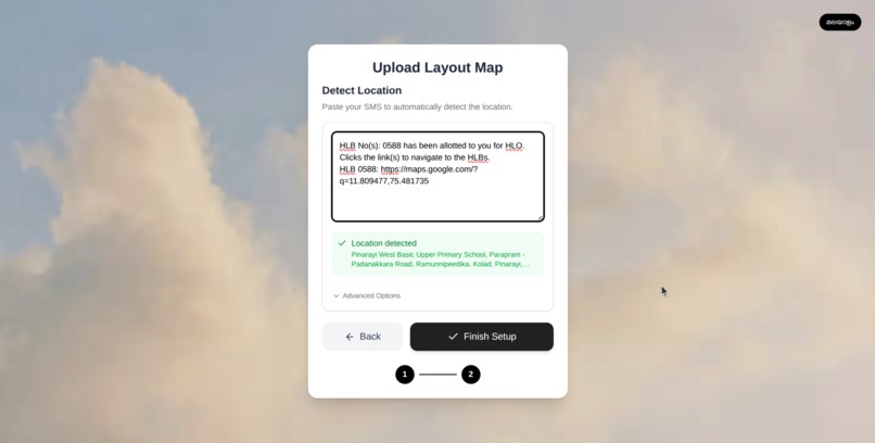
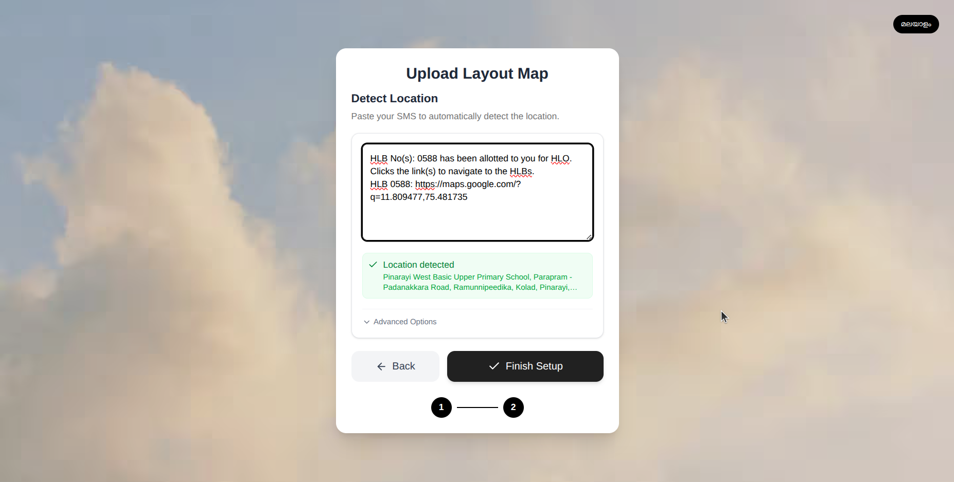
Add teh government SMS received to detect location, or if privacy concerned can add the lat and longitude alone
-
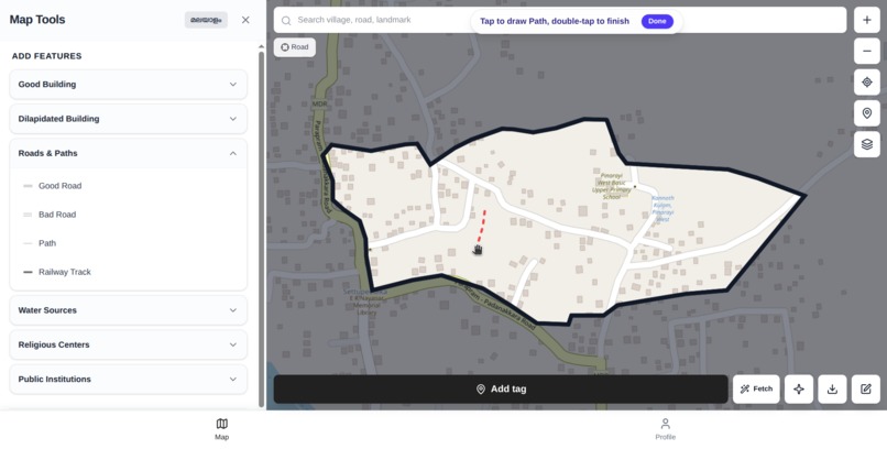
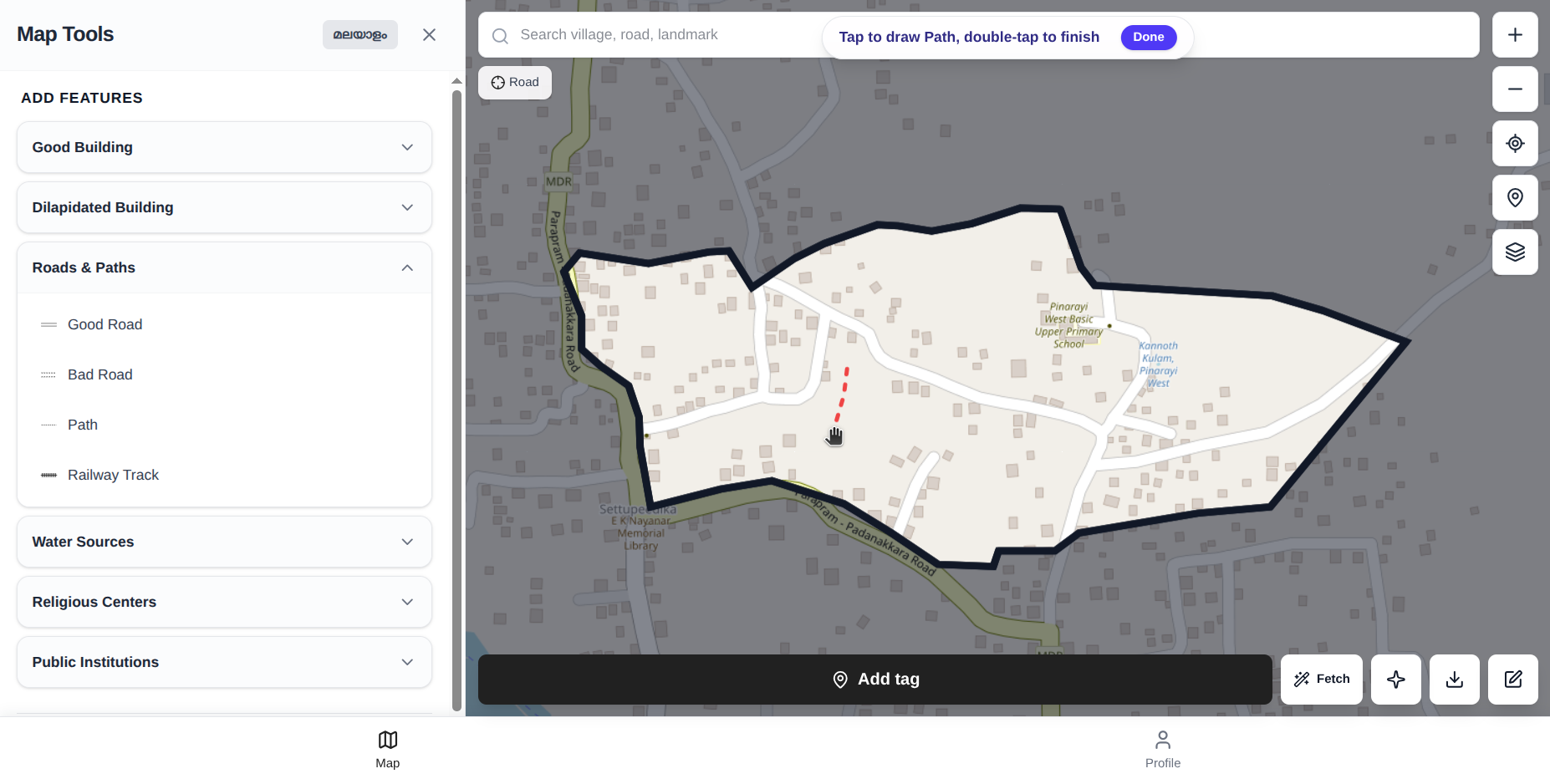
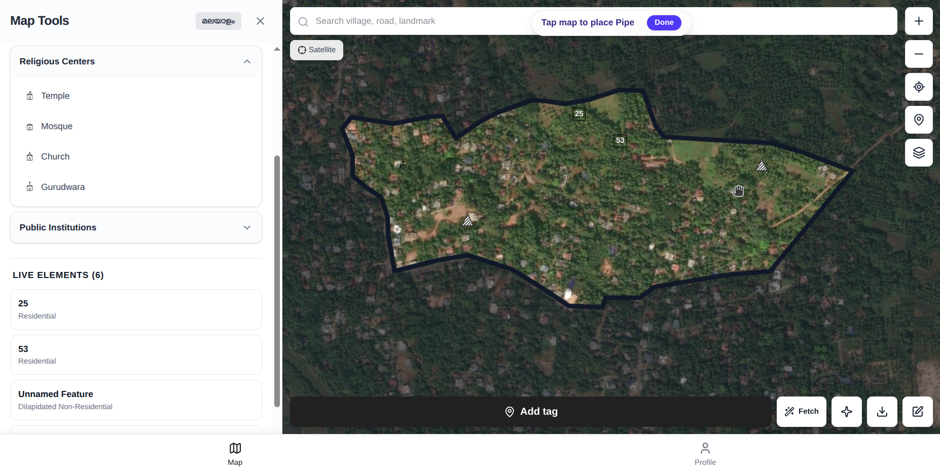
Mark houses, roads, public institutions, and other landmarks.
-
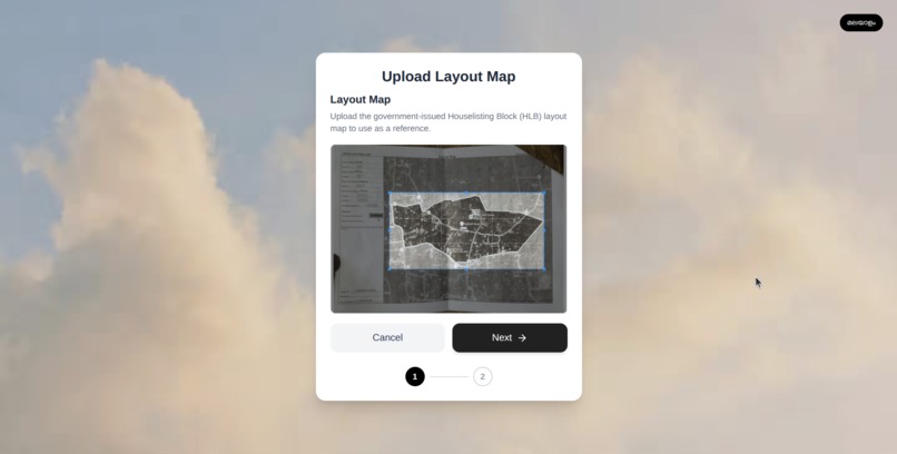
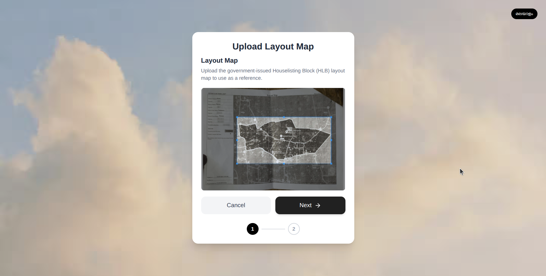
Upload the government-provided HLB map to begin mapping.
-
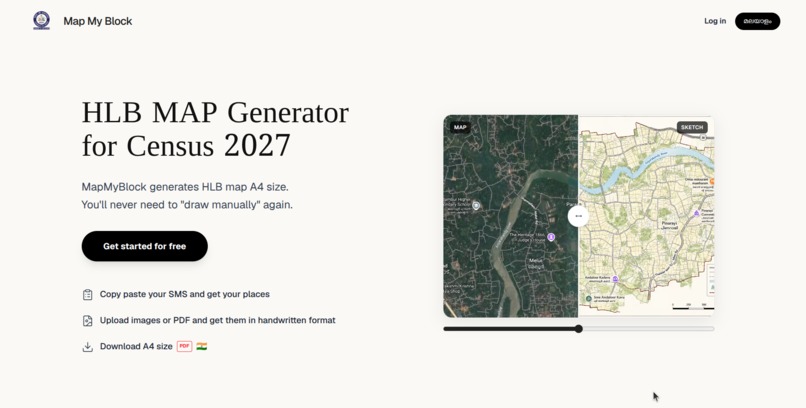
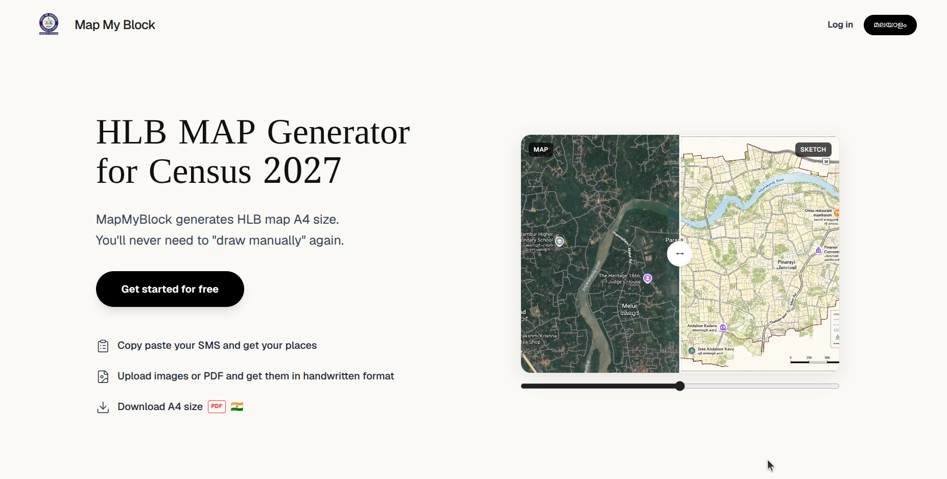
Home screen of Map My Block.
-
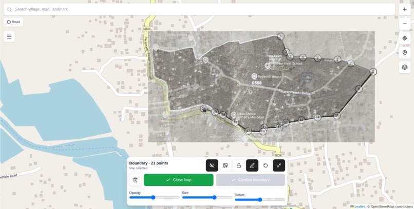
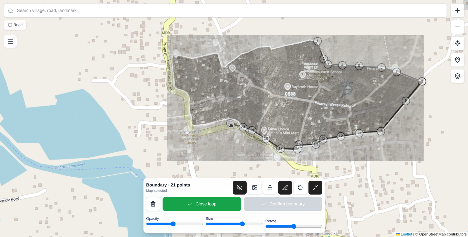
Crop, rotate, and align the HLB map with OpenStreetMap.(Can edit boundaries, markers, and map overlays)
-
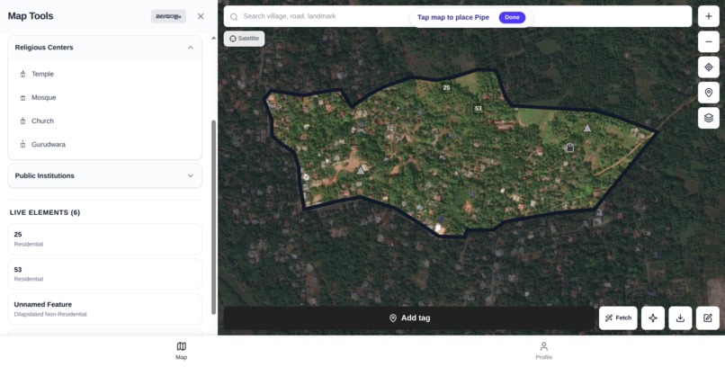
Satelite view
-
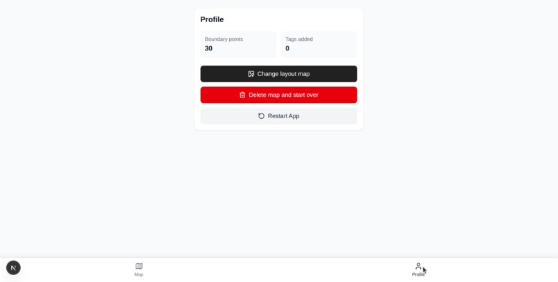
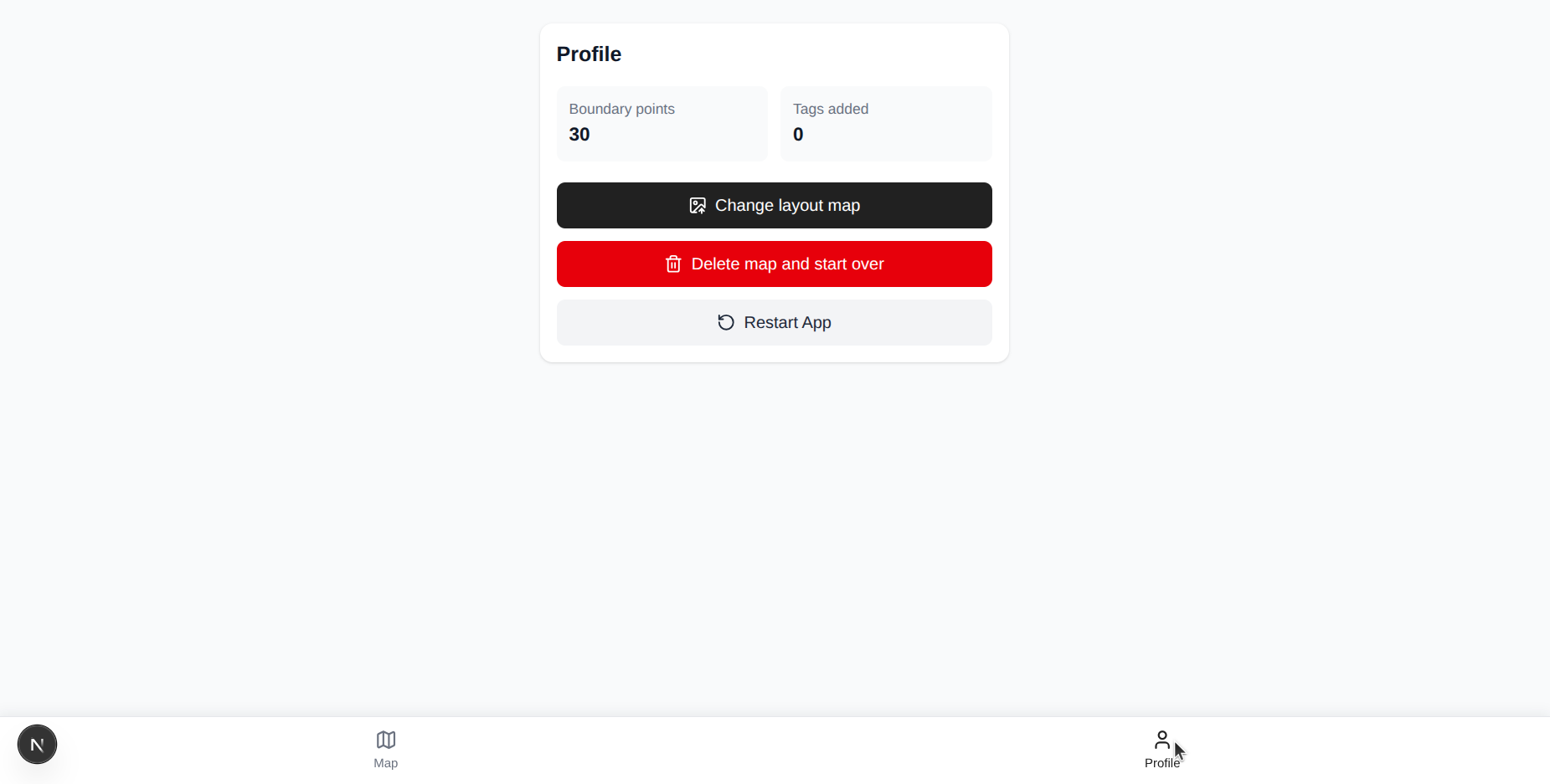
User profile (once login functionality is done this would make more sense)
-
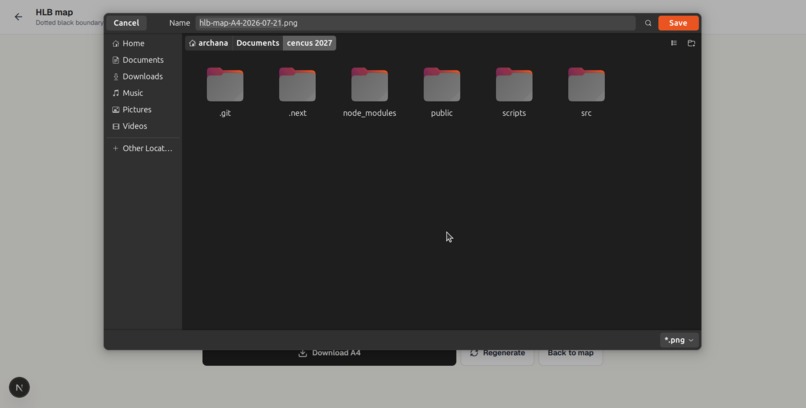
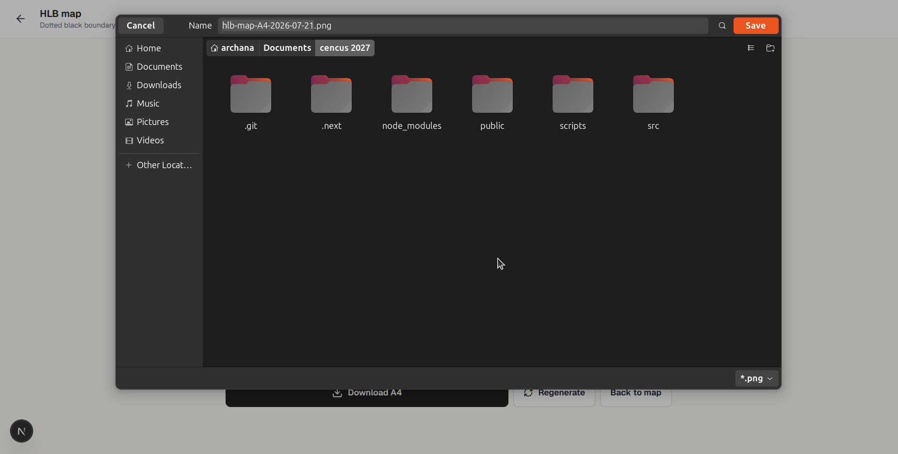
Download A4
-
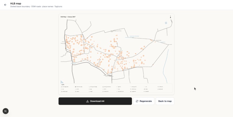
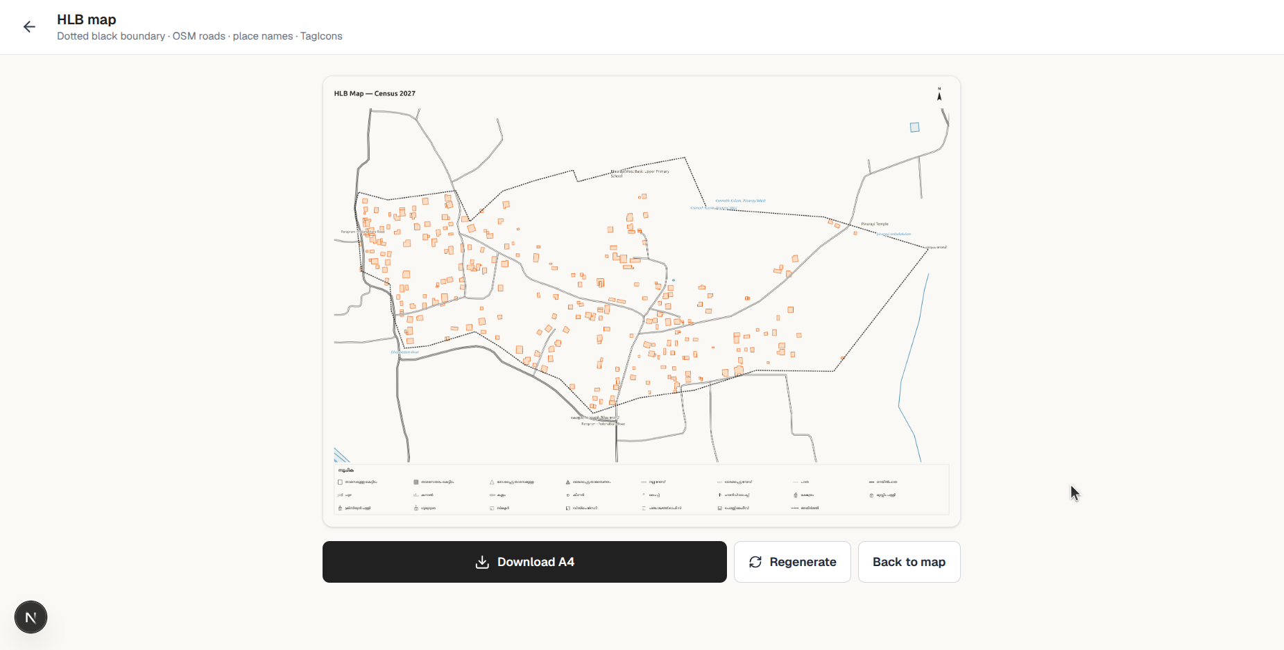
Export the completed census block map for submission.
-
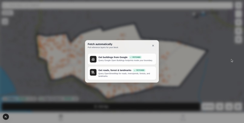
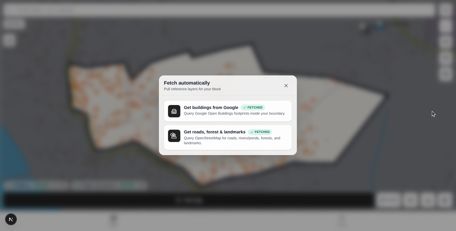
Automatically fetch building footprints from Google Open Buildings and roads, forests, water bodies, and landmarks from OpenStreetMap.
Inspiration
The idea for Map My Block came from a real problem I saw at home. My mother, sister, and many of their colleagues have worked as census enumerators, and one challenge they constantly talked about was preparing block maps after field visits.
Although the government provides digital tools for collecting census data, creating the final block map is still largely a manual process. Enumerators visit hundreds of houses, note important landmarks, and later sketch the entire block on paper. The accuracy of these maps depends heavily on the person's drawing skills, making the process time-consuming, inconsistent, and difficult to edit.
Hearing these challenges repeatedly inspired me to build a mobile-first tool that helps enumerators create accurate digital maps using the HLB (House Listing Block) maps already provided by the government.
What it does
It allows enumerators to upload government-provided HLB maps, align them with OpenStreetMap, draw block boundaries, and mark houses, roads, public institutions, places of worship, and other important landmarks.
The application works offline, saves progress locally, and lets users export the completed map for submission.
How we built it
Built Map My Block using Next.js, React, and TypeScript.
For mapping, used Leaflet with OpenStreetMap. Users can upload an HLB map, crop it, rotate it, scale it, and align it with the live map before tracing the block boundary.
Offline support is powered by IndexedDB, localForage, and service workers, allowing enumerators to continue working even in areas with limited internet connectivity.
Also used OpenAI Codex during development to speed up implementation while allowing us to focus more on solving the actual product and mapping challenges.
Challenges we ran into
The biggest challenge wasn't writing the code, it was understanding the product itself.
The census workflow isn't publicly documented in detail, so I spent time talking with enumerators to understand how they actually perform field mapping and what problems they face. Many users knew the difficulties they experienced but couldn't always explain the software they needed, so turning those conversations into usable features took several iterations.
On the technical side, aligning uploaded HLB maps with geographic coordinates while supporting smooth drag, rotation, and scaling on mobile devices was challenging. Also had to carefully manage touch interactions so that drawing, editing, and navigating the map didn't interfere with one another.
Accomplishments that we're proud of
- Built a complete mobile-first mapping workflow for census enumerators.
- Designed an interface that is simple enough for non-technical users.
- Successfully implemented offline support for field use.
- Combined government-provided HLB maps with OpenStreetMap to improve mapping accuracy.
- Automatically fetches building footprints from Google Open Buildings and roads, forests, water bodies, and landmarks from OpenStreetMap, reducing the amount of manual mapping required.
- Built a solution inspired by a real problem experienced by census workers instead of a hypothetical use case.
What we learned
This project introduced us to several technologies we hadn't worked with before.
We learned how Progressive Web Apps work, how service workers enable offline functionality, and how IndexedDB can be used to persist application data.
On the mapping side, we gained hands-on experience with Leaflet, OpenStreetMap, Google Open Buildings, and working with open geospatial datasets. We learned how to fetch, process, and visualize building footprints, roads, forests, water bodies, and other reference layers to help users create more accurate maps with less manual effort.
Beyond the technical side, our biggest takeaway was learning how to build software for non-technical users. Spending time with enumerators helped us understand that building the right product starts with understanding the people who use it.
What's next for Map My Block
What's next for Map My Block
- AI-assisted alignment of uploaded HLB maps with the real-world map.
- Automatic suggestion of block boundaries from the uploaded layout map.
- Smarter validation to detect missing houses or landmarks inside a mapped block.
- Supervisor review workflows and collaborative editing.
- Export formats that integrate directly with existing census systems.
Built With
- chatgpt
- codex
- css
- esri
- flatgeobuf
- gps
- html
- html-to-image
- javascript
- leaflet-polylinedecorator
- localforage
- localstorage
- lucide-react
- next
- nominatim
- open-buildings-dataset
- openai
- opencv
- openstreetmap
- overpass
- react
- tailwind
- typescript
- webworker
- workbox

Log in or sign up for Devpost to join the conversation.