Devpost
Participate in our public hackathons
Devpost for Teams
Access your company's private hackathons
Grow your developer ecosystem and promote your platform
Drive innovation, collaboration, and retention within your organization
By use case
Blog
Insights into hackathon planning and participation
Customer stories
Inspiration from peers and other industry leaders
Planning guides
Best practices for planning online and in-person hackathons
Webinars & events
Upcoming events and on-demand recordings
Help desk
Common questions and support documentation
Sort by:
Urban renewal. One roof at a time.
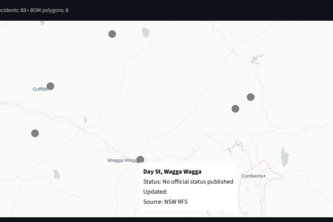
A one-stop platform unifying official NSW fire, weather, and AFDRS feeds with maps, alerts, and offline safety tools — helping communities prepare and stay resilient.
Our forecasts let clinics vaccinate people up to a week before outbreaks begin and provide faster access to treatments, helping them stay ahead of cholera.
Joseph & Neha's Agentic AI Platform Creates an Insightful Operational Ecosystem in Tableau Next while Simultaneously Establishing Public Trust around Secret Federal Surveillance Flights in the USA.
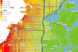
A predictive microclimate tool that combines satellite-derived variables with machine learning to forecast heat hotspots at the neighborhood level
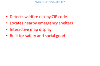
Based on recent California fires in which hundreds of homes were lost- it's time to take action to protect our homes. Stay prepared with Fire Shield. AI
FireShield.AI is a web app that detects wildfire risk and nearby shelters by ZIP code. If live data fails, it uses offline shelter info to ensure safety anytime.
Put your land, business, farm..., everything in order.
With Sea the Future, we make invisible risks from deep-sea mining visible by connecting climate, biodiversity, and industry data to help decision-makers protect our oceans while pursuing clean energy.
Customizing and enhancing the pedestrian experience
RendezView helps friends meet up faster with live location sharing, smart meetup spots, and real-time navigation. No more confusion, delays, or endless group chats.
to monitor arcgis enterprise components' status, and help locate root causes of errors
ArcRescue is a comprehensive workflow that enables natural disaster rescue missions by leveraging drone imagery and Esri technology to detect and locate people in real time.
Inlight lets users scan rooms into 3D models to visualize sunlight, shadows, and solar radiation by time, date, and location—enabling smarter, energy-efficient design.
Smart Gardening for a Greener Tomorrow
explore your time
HopeMapper is a secure, GIS-powered web app that helps caseworkers make faster, smarter foster care placements by matching kids to homes based on real-time availability, location, and needs.
LocalBuzz connects you with local makers, chefs, and small businesses. Shop unique goods, explore your community, and support your neighborhood artisans with smart, map-powered insights.
Creating Surge Operation Simulations for Accreditation Success through a mapped data visualizer and action plan report generator.
LocAid is an web app connecting individuals with mobility disabilities to first responders during natural disasters.
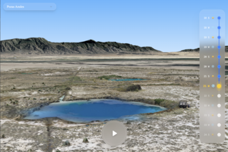
A bold shift in northern Mexico is showing that restoring basin ecosystems may depend less on enforcement and more on empathy. Photogrammetry and satellite imagery help tell the story.
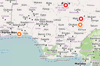
VigilAlert saves lives by helping Africans avoid crisis zones through real-time, crowd-sourced danger reports, smart map alerts, and AI-generated video warnings.
AtlasGrid: AI-driven territorial intelligence for Morocco. We unify geo-data for smarter city services, equitable growth & responsive governance.
A mapping tool that recommends an optimized line route based on avoiding negatives (environmental reviews, critical habitat, etc) and emphasizing positives (high REC price, rights of way, etc)