Devpost
Participate in our public hackathons
Devpost for Teams
Access your company's private hackathons
Grow your developer ecosystem and promote your platform
Drive innovation, collaboration, and retention within your organization
By use case
Blog
Insights into hackathon planning and participation
Customer stories
Inspiration from peers and other industry leaders
Planning guides
Best practices for planning online and in-person hackathons
Webinars & events
Upcoming events and on-demand recordings
Help desk
Common questions and support documentation
Sort by:
Optimized water, carbon, and energy for LLM API calls.
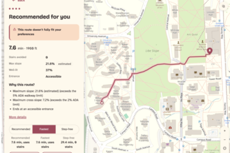
We leverage real campus GIS, lidar and live reports so that maps finally route around how you move. Many people live with access restraints, but in 100 years, every map should know the way for them.
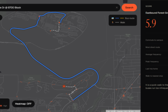
Headway scores any Vancouver address on real transit access to campus—commute, frequency, late-night service, walk time—so you know before you sign the lease.
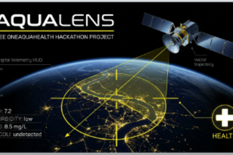
Autonomous satellite sentinel using Copernicus Sentinel-2 to detect toxic river plumes and algae, dispatching HL7 FHIR alerts to emergency hospitals before poisoned water reaches city taps.
Forecasts tell you tomorrow. Warnly buys you tonight. Autonomous, zero-signal storm defense with instant 960Hz siren overrides and offline family safety rings.
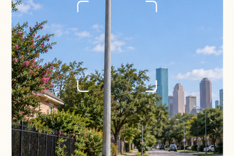
Houston ISD closed schools, causing riskier walks. Walk Check maps your child's new route, shows where to cross safely, and auto-fills HISD and City safety request forms.
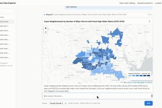
Houston's open data is scattered across 16 portals and 7,000+ layers. I scraped the useful part into one fast GIS database with a searchable catalog. Ask it anything in plain English.
Ask Houston's 311 data a question, out loud or typed, and see a verified answer in under a second.
Report broken streetlights. Help Houston and Galveston shine brighter.
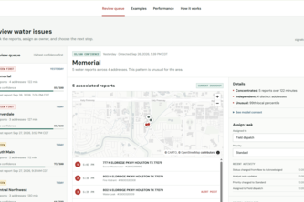
Canary watches Houston 311 water reports and spots local patterns that look like they are starting to escalate.
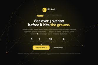
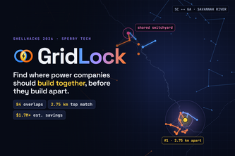
GridLock Finder compares neighboring utilities' planned construction projects and flags where they overlap, either because they're physically close or because they're scheduled at the same time.
Swipe less. Live better. Rinder matches students with compatible roommates and housing, then helps them actually live together.
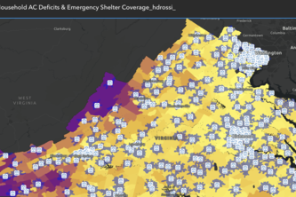
This interactive spatial analysis evaluates environmental equity and heat safety across Virginia by overlaying household air conditioning deficits against accessibility to cooling infrastructure.
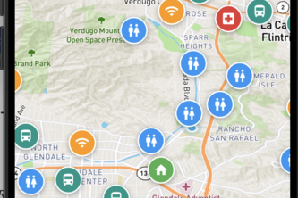
Help unhoused Glendale residents find free, public resources with ease.
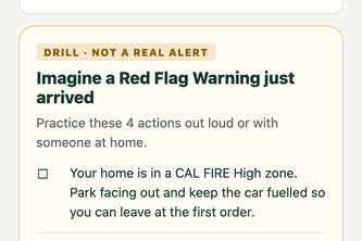
FirePath turns a Glendale address into a personalized emergency plan, combining local hazard maps, household needs, weather alerts, and City permit guidance in one place.
A shared calendar and operations desk for Houston's volunteer cleanups. Groups post once, learn whose land it is, request supplies and dumpsters, and file a report that feeds citywide totals.
GridLock turns utility documents (PDF's) into a live GIS map, ranking where Georgia Power & Dominion SC build near each other at the same time, and shows what sharing crews could save.
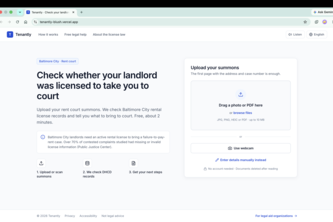
70% of Baltimore rent court complaints had missing or invalid license info. Tenantly helps tenants check their landlord's license and fight back, free.
Know your hazards before they find you. Enter a Glendale address, get your family's plan in Armenian, Spanish or English.
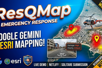
AI-powered emergency response platform combining Google Gemini API for rapid message triage with Esri satellite mapping, tactical security, and 360° ground inspection.
WaterFlow shows where water goes, highlights flood exposure, and turns the data into clear reports.
Whatever you need, we've got!
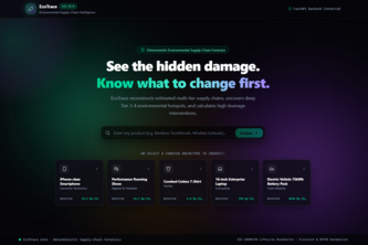
From extraction to assembly: Unmasking deep supply chain footprints