Devpost
Participate in our public hackathons
Devpost for Teams
Access your company's private hackathons
Grow your developer ecosystem and promote your platform
Drive innovation, collaboration, and retention within your organization
By use case
Blog
Insights into hackathon planning and participation
Customer stories
Inspiration from peers and other industry leaders
Planning guides
Best practices for planning online and in-person hackathons
Webinars & events
Upcoming events and on-demand recordings
Help desk
Common questions and support documentation
Sort by:
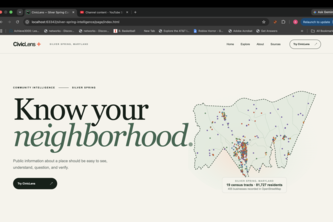
Public data is everywhere. Understanding it shouldn't be. CivicLens is an application we developed used to consolidate all the scattered public records of Silver Spring into one coherent place.
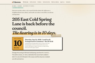
Quorum watches what your city council decides about the addresses you care about, and catches when a new bill is an old one coming back under a different file number.
Drones fly burned national parks right after Indonesia's fire season, classify endemic plants and wildlife, and estimate what the ecosystem lost so recovery effort goes where it is needed.
Agroecology Geospatial Agent
"Noise to Signal. Fire to Community."
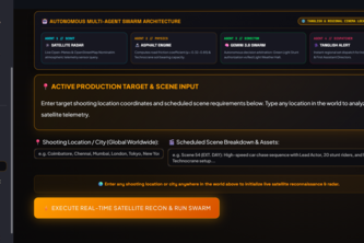
Autonomous cinema command powered by Gemini 3.8, real-time satellite radar physics, and multilingual crew dispatch to eliminate $500k weather shoot cancellations.
Canopy finds nearby nature breaks that fit your time, comfort, and access needs using live conditions and trusted local park data.
Atlanta serves a child care registry last refreshed in 2021 as current. Throughline measured the drift: 51.9%.
An agent that answers Atlanta transit questions from live data and refuses to tell you what you want to hear. I set out to prove MARTA underserves poor neighborhoods. The data refused.
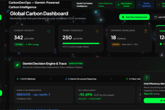
Carbon-aware CI/CD that dynamically routes deployments to greener cloud regions using real-time grid carbon intensity.
Everyone tells you a fire exists. Ember tells you the safe way out — routing by where the fire will BE when you arrive, personalized to how fast you can actually move.
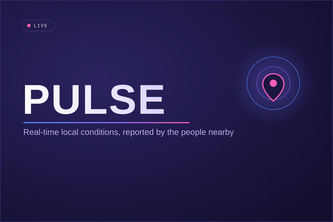
Pulse shows real-time local conditions — wait times, road hazards, and crowd-reported signals — so you know before you go. Real intelligence, for everyone, not just big chains.
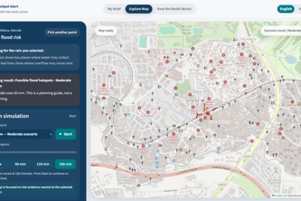
From forecast rainfall to street-level flood action.
The ultimate solution to boost civic engagement, contributing to a more intelligent world.
Wildfires are not a matter of if but when.
Conservation platforms tell us what is at risk. Canopy Connect helps people understand why it matters by connecting personal tree stories with conservation insights, inspiring advocacy and action.
Navigating to the Unreachable.
Plate Shifters is a GIS-powered food rescue and redistribution platform that connects food vendors with homeless shelters to deliver leftover meals.
Don't you wish you knew where all your mentors are? I mean geographically? Of course you do! This app will map and track all the mentors so you always know where they are.
Inspired by our teammate Kyle's experience growing up on a farm in New Hampshire, we created Farm Assist, a user-friendly GeoAI-powered farm management assistant.
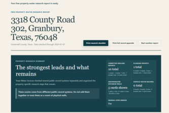
Texas Water Sources turns a Texas address into a free, source-linked water-record snapshot, showing what records exist, what they may mean, and what still needs verification.
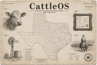
CattleOS combines open outbreak data with herd records to give ranchers local screwworm alerts, smarter inspections, and a practical operating system for 21st-century ranching.
Aftershock: the decision layer between a damage grade and knowing who to send first.