Devpost
Participate in our public hackathons
Devpost for Teams
Access your company's private hackathons
Grow your developer ecosystem and promote your platform
Drive innovation, collaboration, and retention within your organization
By use case
Blog
Insights into hackathon planning and participation
Customer stories
Inspiration from peers and other industry leaders
Planning guides
Best practices for planning online and in-person hackathons
Webinars & events
Upcoming events and on-demand recordings
Help desk
Common questions and support documentation
Sort by:
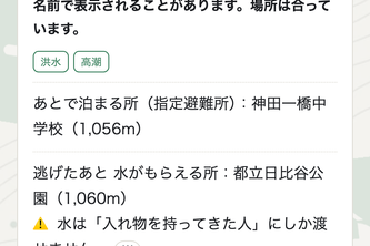
Open it, and you already know where to run. Official evacuation shelters, elevation and ground-shaking data - on your device, with no signal, in 5 languages.
“Connecting Patients, Ambulances, and Hospitals for Faster Emergency Care.”
An intelligent emergency platform connecting ambulance dispatch, patient triage, real-time tracking, and hospital bed availability to improve emergency response and coordination.
An intelligent emergency response platform that coordinates ambulance dispatch, real-time hospital bed availability, patient triage, and hospital selection to reduce emergency response delays
Free and open-source U of T timetable planning and campus navigation, built by Andrew Muratov to make the time between classes count.
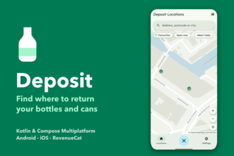
Find deposit return machines for bottles and cans, with opening hours and broken-machine alerts. Community fixes go back to OpenStreetMap. Live in the Netherlands, going worldwide.
Find compatible sports buddies, plan activities, and build trust through verified check-ins—without repeatedly posting on social media.
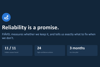
Not how late the average bus is. How often a passenger can count on it, and what to fix so they can. Transportation services reliability that can be measure, explain and fix in real-time.
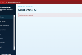
AquaSentinel AI uses explainable AI to analyze water-quality and citizen data, detect freshwater health risks, and provide early warnings and actionable insights for healthier ecosystems.
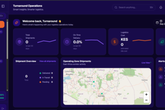
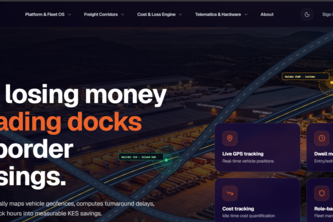
Turnaround optimizes fleet operations. We convert GPS telemetry into real-time financial transparency, automating bottleneck detection to cut dwell costs and SLA penalties across trade corridors.
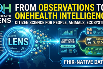
Turns citizen stream observations into explainable, FHIR-native One Health intelligence for people, animals, and ecosystems.
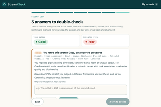
A second look for citizen stream assessments: explained consistency and weather checks, the citizen decides, FHIR R4 export for OneAquaHealth.
Slurping soba isn't noise — it's how the noodle is eaten. ZUZUZU records the sound, names the form it belongs to, and turns it into a 15-second beat.
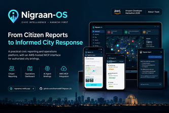
A smarter way for citizens to report city problems and for authorities to respond.
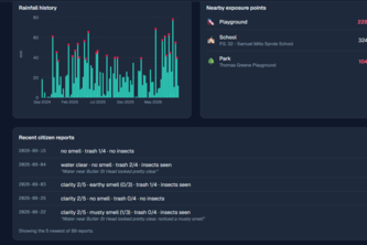
Bayesian sense-making for citizen science: from 'it smells funny' to 'likely sewage, 2 km upstream, near a playground'.
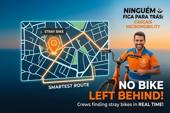
Every bike left on a random corner is one nobody can ride. We find Cascais' stray bikes in real time and send crews on the smartest route to bring them home.
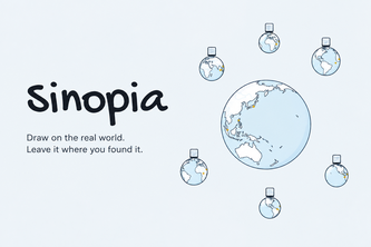
Photograph a real place, draw your version over it, and pin it to a personal globe. See how other people drew the same wall, with a reference panel for when you're stuck.
An AI-powered smart traffic management platform that uses real-time traffic reports, GPS location, and data analytics to detect congestion and help improve urban traffic flow.
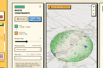
SS is a navigation system that tells livestock communities exactly where to move their herds to find forage and water, preventing animal deaths from averting desertification caused by overgrazing
A Southern Ontario dispatch workspace where AI explains and extracts, and code decides.
Turn Conduit weather observations into practical reservoir plans: compare pumping schedules, prepare for interruptions, and protect essential water reserves.
From one Kenyan weather station's readings to heat-safety decisions: a 9-hour forecast, best time to work, and farm advice in English and Kiswahili.
Not the fastest way home — the safest one.