Devpost
Participate in our public hackathons
Devpost for Teams
Access your company's private hackathons
Grow your developer ecosystem and promote your platform
Drive innovation, collaboration, and retention within your organization
By use case
Blog
Insights into hackathon planning and participation
Customer stories
Inspiration from peers and other industry leaders
Planning guides
Best practices for planning online and in-person hackathons
Webinars & events
Upcoming events and on-demand recordings
Help desk
Common questions and support documentation
Sort by:
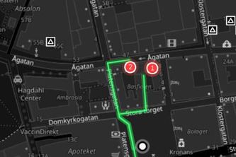
Never lose your way again — AI-guided, AR-powered walking navigation for people who get disoriented easily.
FloodWatch uses satellite data to map flood zones and assess infrastructure risks for faster disaster response.
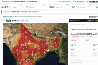
AI-powered geospatial platform that predicts urban heat hotspots.
Smart Service Finder connects users with trusted local professionals using AI-powered recommendations, transparent profiles, and easy booking—making it faster and safer to find the right service.
Plan a cooler day with the local forecast, nearby places to pause, and walking options in one clear view.
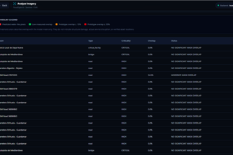
LandGuard — From satellite intelligence to rapid flood-damage mapping, identifying damaged infrastructure and cut-off communities, even when connectivity fails.
A system that uses satellite images to map flooded areas, identify potentially damaged roads and buildings, and find villages that may be cut off from nearby towns and hospitals.
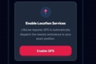
LIFELINE connects patient, ambulance, and hospital in real time—streaming AI triage, atomic dispatch, and ER bed reservations from SOS tap to hospital handover.
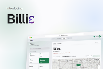
Billie turns your grocery receipts into a price history with NVIDIA Nemotron on Nebius Token Factory, every price rise, recalls on food you bought, and the cheaper store if you shop around.
Your private driving journal. Record your trips, understand your habits, and rediscover your roads.
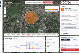
One Health early warning for urban streams: citizen checks and forecasts become FHIR risk alerts for GPs via CDS Hooks, with an AI duty officer drafting human-approved advisories.
From satellite imagery to life saving flood intelligence.
An explainable flood intelligence platform turning complex hydrological telemetry into intuitive risk assessments and life-saving safety checklists.
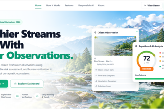
Turning citizen freshwater observations into explainable environmental intelligence.
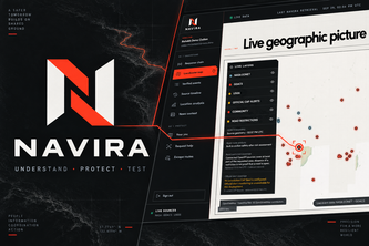
Understand the disaster. Protect civilians with verified risk areas and escape routes. Stress-test infrastructure before the next hazard hits.
Know where your shelter is before you need it.
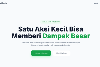
Adalah platform berbasis web untuk menghubungkan relawan dan penyelenggara kegiatan sosial dalam satu sistem yang transparan, adil, dan terstruktur.
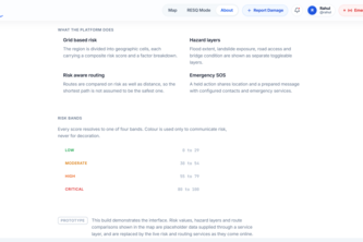
RESQ is a disaster-ready system that combines hazard data, road networks, and intelligent routing to identify safer routes during floods and landslides with dynamic rerouting and 3D visualization
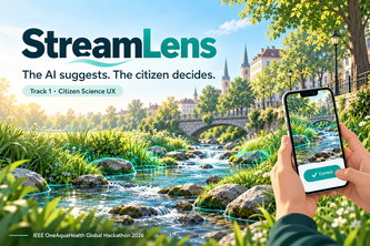
A second pair of eyes for citizen stream assessments: AI pre-fills answers from photos, the citizen always decides, and every report becomes alerts, fixes and FHIR data.
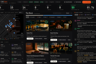
Cold Open's AI agents walk the block, read each small business's real brand, and build it a website. A critic must score each site 85 or higher before it ships, with a $49 Stripe checkout attached.
Get lost, never stranded. Velorki routes, searches and navigates your ride with zero signal, free. Optional Plus unlocks the online extras: AI route planning, Strava sync and shared rides.
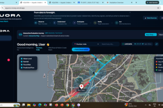
AQUORA — See What Comes Next: AI-powered freshwater resilience intelligence that turns real environmental data into scenarios, uncertainty insights, and actionable next-best observations.
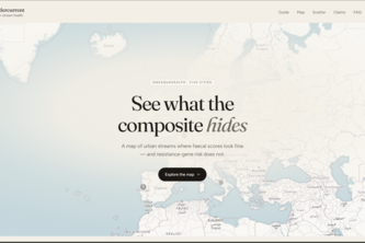
Undercurrent turns stream-health data into actionable insight, revealing when composite scores hide antimicrobial-resistance risks and helping cities decide where to sample next.
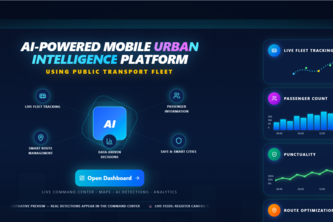
AI-Powered Mobile Urban Intelligence Platform Using Public Transport Fleet