Inspiration
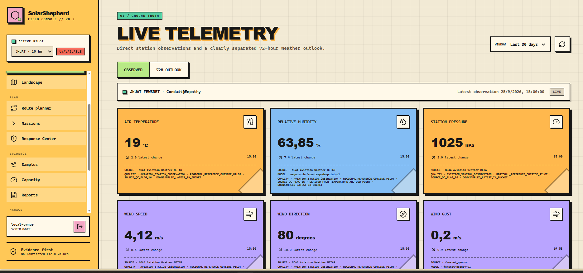
In Kenya's ASAL regions, erratic rains and severe heat lead to livestock loss and overgrazing. Conventional weather apps only show generic forecasts. Inspired by JKUAT's Conduit@Empathy, we built a tool fusing ground sensors and satellites into actionable grazing routes to protect herds and fragile pastures.
What it does
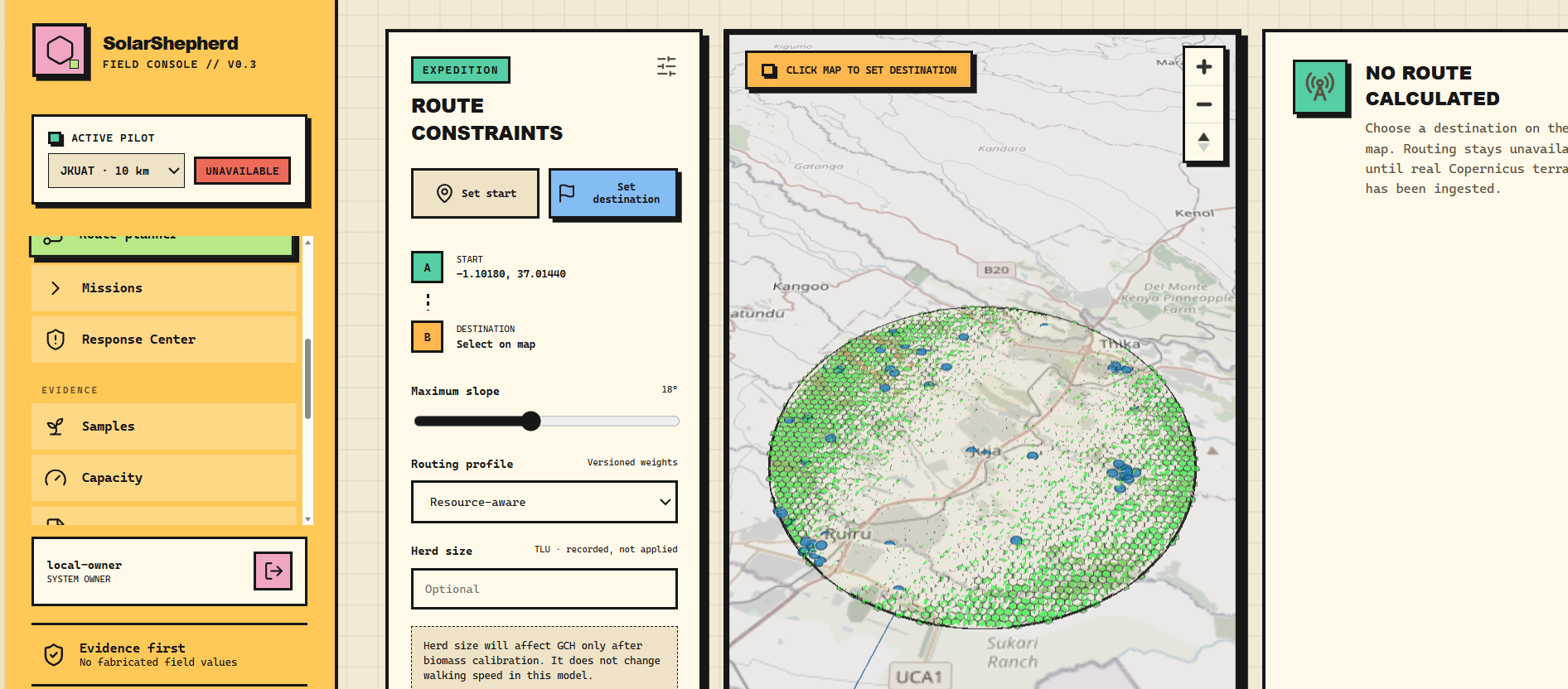
SolarShepherd translates Conduit ground telemetry and Sentinel-2 imagery into safe pastoral navigation. It estimates biomass, calculates pasture lifespan based on herd size to prevent desertification, and runs an A* pathfinder avoiding steep terrain and peak UV. Insights reach herders via web maps and simple SMS.
How we built it
We built the backend with Python and FastAPI, using PostgreSQL and PostGIS with an H3 grid to run biophysical formulas natively. Telemetry comes from the Conduit Data Platform, Sentinel-2 via STAC APIs, and Copernicus DEM, while the frontend uses JavaScript, MapLibre GL 3D, and Deck.gl.
Challenges we ran into
Harmonizing localized physical sensor readings from Conduit with 10-meter satellite rasters proved difficult. We also had to optimize real-time traversal cost calculations across thousands of spatial cells in PostGIS to deliver sub-second routing without relying on synthetic mocks or excessive memory overhead.
Accomplishments that we're proud of
We created a working prototype translating raw environmental data into concrete navigation guidance. We are proud to execute biophysical formulas natively in PostGIS and deliver a system accessible to both technical rangeland planners and pastoralists using basic feature phones via SMS.
What we learned
We learned that satellite data requires ground-truth validation from stations like Conduit to accurately measure root-zone moisture and UV stress. We also learned that climate data only creates real impact when connected directly to local realities like herd limits, water points, and land sustainability.
What's next for SolarSheperd
We plan to field-test the routing models with pastoralist cooperatives in Kenya's ASAL counties, integrate two-way SMS reporting for herders to confirm water availability in real time, and connect additional regional IoT weather stations to scale the monitoring network across East Africa.
Built With
- conduit-api
- fastapi
- maplibre
- openstreetmap
- react
- vercel
- vite

Log in or sign up for Devpost to join the conversation.