Devpost
Participate in our public hackathons
Devpost for Teams
Access your company's private hackathons
Grow your developer ecosystem and promote your platform
Drive innovation, collaboration, and retention within your organization
By use case
Blog
Insights into hackathon planning and participation
Customer stories
Inspiration from peers and other industry leaders
Planning guides
Best practices for planning online and in-person hackathons
Webinars & events
Upcoming events and on-demand recordings
Help desk
Common questions and support documentation
Sort by:
Bad Wi-Fi shouldn't be a surprise. RoamRadar makes sure it never is.
Know your air. Plan your day.
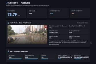
Turning fragmented urban data into smarter flood and drainage decisions.
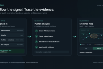
Trace PM2.5 pollution from sensor anomalies to evidence-supported candidate source regions.
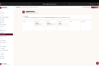
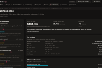
HokieFlow is an AI student platform for smarter campus life, project building, career discovery, resume creation, job matching, and guided applications—all powered by Databricks.
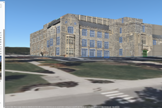
GroundTruth turns building photos and an address into an editable, map-linked 3D scene for games, GIS, and disaster response.
WayPoint Allocations turns ED chaos into action: it spots capacity crunches before they hit, and tells staff exactly which beds, nurses, or transfers will fix it — in real time.
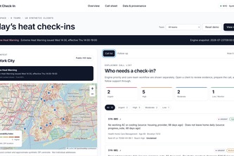
Heat Check-In gives NYC behavioral health social workers a call sheet showing whom to contact and why, then tracks support and carries confirmed answers into the next heat alert.
PlaceCast- from one photo to a map-ready building, with every door and window found, oriented and verified.
Hokie Guide is a personalized campus companion that helps Virginia Tech students find the best places to eat, study, park, and spend time based on what they need.
Your new neighbour
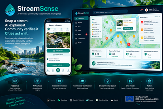
AI-powered community stream monitoring that turns citizen photos into explainable environmental signals, community-verified insights, and actionable One Health alerts.
What if you could talk to a map? From finding apartment buildings near parks, houses away from highways, or even places matching a photo's landmarks, ask MapMind in plain English and find the answer.
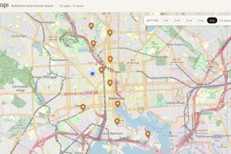
Too good to scrap! A live food-rescue website for Baltimore to help reduce food waste. Stores post surplus food; users claim it on a live map.
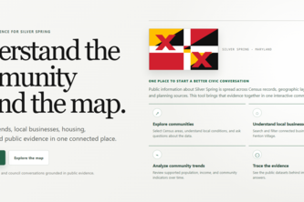
Our project is about helping city planners or business owners understand Silver Spring by bringing community, business, and data together in one easy-to-use map and providing trend lines and charts.
A rules-based tool for whether you can park in Syracuse University and adjacent lots and garages right now — based on your permit type, the time of day, the day of week, and Dome/event restrictions.
SafePath keeps a neighborhood connected in times of disaster. It connects everyone via Bluetooth to efficiently share information when Wi-Fi and cell towers are down.
Shortcuts shouldn't stop at a staircase.
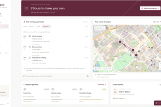
One proactive campus agent that joins dining, transit, housing, events, and schedules to give students time back and show operators where campus services fail.
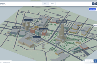
Simulate Pittsburgh streets before changing them, test traffic, weather, construction, and autonomous vehicles in an interactive 3D city sandbox.
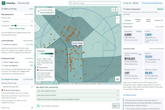
UrbanEye transforms fragmented public data and civic documents into an interactive map. Our verifiable AI delivers transparent, source-backed business insights to drive smarter community development.
We turn photos into AI-redesigned 3D buildings, automatically aligned to real map footprints and instantly explorable with character controls.
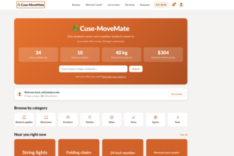
♻️ Less Waste. 🔄 More Reuse. 🤝 Stronger Community
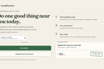
Makes philanthropy addictive: snap proof of a good deed, AI verifies it, and nearby volunteering turns into quests, points, and leaderboards.