Devpost
Participate in our public hackathons
Devpost for Teams
Access your company's private hackathons
Grow your developer ecosystem and promote your platform
Drive innovation, collaboration, and retention within your organization
By use case
Blog
Insights into hackathon planning and participation
Customer stories
Inspiration from peers and other industry leaders
Planning guides
Best practices for planning online and in-person hackathons
Webinars & events
Upcoming events and on-demand recordings
Help desk
Common questions and support documentation
Sort by:
Uncloak makes complex data center and power infrastructure data easy to see and use for everyone. We help communities see the impact of data centers nearby and serve as a source of transparency.
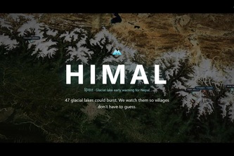
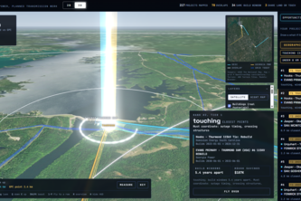
A live 3D satellite twin of the most hazardous glacial lakes in Nepal, which monitors melting and rainfall in real time and models outburst floods, ticking off the minutes each village has to evacuate
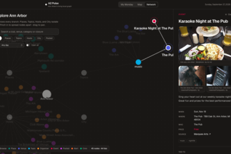
Ann Arbor's events, road closures and Council items live in a dozen feeds. A2 Pulse pulls them into one Jac graph and reads you a one-minute brief of what touches your week.
Hey, I just ate this. And this is crazy. I'm feeling sick now. Recall me maybe!
Find the coolest way to get to your destination 😎
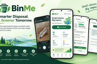
BinMe is an AI-powered mobile app that instantly classifies waste using camera vision, locates nearby recycling hubs, and tracks your eco-impact for a cleaner planet.
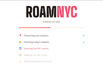
Too many options, no idea what to do? RoamNYC ends decision fatigue with an instant NYC plan tailored to your mood, budget, weather, and today's live events.
AI-powered birdwatching for the modern adventurer.
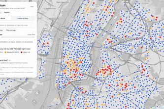
CitiScan predicts whether a Citi Bike dock will still be open when you arrive, and finds you a backup if not. Tested on real dock data: 62% fewer surprise full stations.
AquaSentinel turns geolocated photos into AI-validated waste hotspot intelligence, helping communities and institutions protect Guanabara Bay in Rio de Janeiro.
ResQ helps people reach emergency responders during disasters using low-bandwidth communication, while mapping and organizing reports so responders can quickly find and prioritize those in need.
Out There is a map-based app for real-life connection. It finds local events from your location or uses AI to spin up spontaneous meetups when demand aligns, cutting all planning fatigue.
From finding care to feeling cared for.
Stretch your SNAP benefits, not your time. FairFare turns what’s already in your pantry into healthy meals and finds affordable, SNAP-eligible groceries for what you still need.
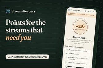
Citizen-science points priced by what OneAquaHealth doesn't know yet: unchecked streams, old lab data, health risk. Never by the result. Stored as validated OneAquaHealth FHIR.
Feel the guidance.
The fastest route isn't always the right one. We route around what matters to you: safer at night, accessible, and aware of real campus conditions.
Stop worrying about unexpected driving situations, be prepared for them. Your routine driving companion for unknown hazards.
Not just the fastest route — the safest one
Do you need to bring a Jacket? What about your unlucky Umbrella? Safely travel and account for the unpredictability of weather with CirrusNav.
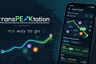
By YoWayMo, mo(re) way to go! Never get stuck in the crowd you saw coming.
Giving people the power to build community and bring the world closer together!
Find the overlap before the crews do: GridLock maps both utilities' planned transmission work and ranks where coordinating saves the most
Every intersection, investigated.