Devpost
Participate in our public hackathons
Devpost for Teams
Access your company's private hackathons
Grow your developer ecosystem and promote your platform
Drive innovation, collaboration, and retention within your organization
By use case
Blog
Insights into hackathon planning and participation
Customer stories
Inspiration from peers and other industry leaders
Planning guides
Best practices for planning online and in-person hackathons
Webinars & events
Upcoming events and on-demand recordings
Help desk
Common questions and support documentation
Sort by:
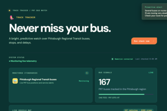
Track Tracker predicts PRT bus delays from live data, helping Pittsburgh riders find their bus, check ETAs, and leave with confidence.
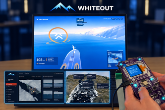
Freeze coordinates towers and aircraft to detect and track ships in ArcticSim, combines terrain analysis, camera observations, and replay-based strategy optimization.
Upgrade your block. Slash your taxes. Rule the ranks. ZoneUp turns Stripe micro-donations into real urban power.
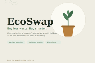
EcoSwap checks if a greener alternative actually holds up - verified certifications, a weighted sustainability score, and photo-based product input, not just whatever calls itself eco-friendly.
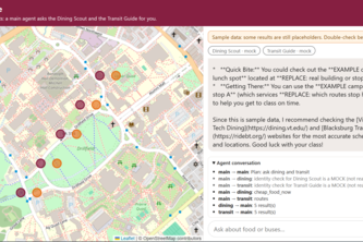
Queue elevator music *🎵🎶🎵🎶🎵🎶🎵🎶🎵🎶🎵🎶🎵🎶🎵🎶* Ask once. Three agents plan your food and your bus.
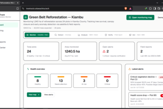
TreeTrack combines satellite imagery, computer vision, environmental analytics and community reports to monitor reforestation, detect land-health anomalies and help teams protect forests at scale.
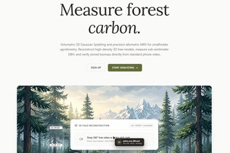
Turning smartphone video into 3D digital twins and audit-ready carbon credits for smallholder agroforestry, slashing MRV costs by 99%.
A Smarter Way To Cater
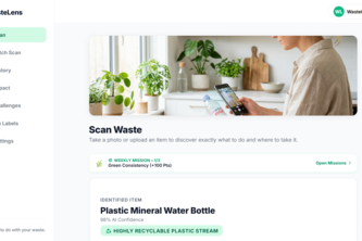
WasteLens uses AI to make recycling easier by telling you what your waste is, how to sort it, and where to take it.
One sentence about your night becomes a timed, step-by-step route to real shelters and services. When a bed fills up or you miss the bus, it replans from where you are.
Quick reports. Better streets.
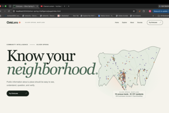
Public data about Silver Spring, Maryland is scattered across many sources. We consolidated several public datasets into one warehouse and combined them into a single location!
Public data is everywhere. Understanding it shouldn't be. CivicLens is an application we developed used to consolidate all the scattered public records of Silver Spring into one coherent place.
Know where your bus is—even when GPS falls behind.
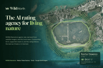
A tree only gets a price once it's cut down. WildWorth rates land alive: NVIDIA Nemotron agents read satellites and local news, and supporters back the grade, so communities earn by keeping it.
“Smarter Cities. Safer Futures.”
Turning Flood Intelligence into Actionable Response
Cross-hospital AI agents unite to diagnose rare diseases by exchanging private latent vectors, breaking the data silo deadlock with zero patient text leakage.
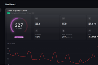
Lahore's air, one honest number. Live AQI, neighbourhood hotspots, a forecast that shows its own accuracy, and guidance on when to step outside — all from open data.
A next generation climate-resilient micro-agtech platform
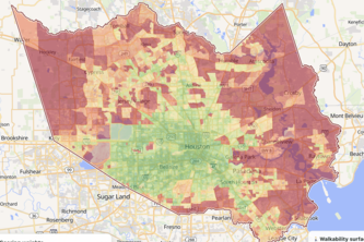
Every map shows you the fastest way to the stadium. We show you the one with shade. Built from real Houston routes, real heat data, and a 1,000-trip simulation that finds the best and the worst route.
Click-to-report hazard map for Lahore — mark open manholes, exposed wires, and flooded streets with real GPS pins, auto-ranked by severity so civic teams fix the worst ones first.
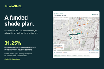
Turn a heat map into a funded shade plan. Compare where event budgets reduce time in direct sun, reveal tradeoffs, and keep shade working for residents after the final whistle.
Turn any rooftop into a practical, data-driven solar plan.