Devpost
Participate in our public hackathons
Devpost for Teams
Access your company's private hackathons
Grow your developer ecosystem and promote your platform
Drive innovation, collaboration, and retention within your organization
By use case
Blog
Insights into hackathon planning and participation
Customer stories
Inspiration from peers and other industry leaders
Planning guides
Best practices for planning online and in-person hackathons
Webinars & events
Upcoming events and on-demand recordings
Help desk
Common questions and support documentation
Sort by:
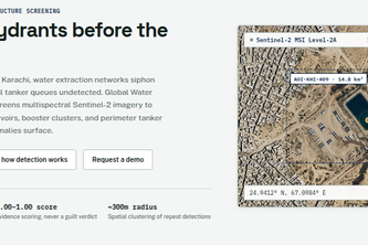
A platform that identifies potential illegal water extraction and theft hotspots. Designed for regions worldwide facing water theft and unauthorized water distribution.
Autonomous farmland diligence platform combining standard-camera computer vision with open satellite telemetry to detect crop stunting, cut fertilizer runoff by 38%, and de-risk land investments.
Eleven AI agents find the bed. Code checks every move. A human signs the big ones.
Turns become sound. Cholo.ai guides blind and low-vision students across campus by ear, then finds them free food, a clinic, or a page it can read aloud.
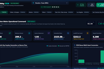
Real-time logistics engine solving FIFA 2026 stadium food waste via CVRPTW fleet routing, FDA cold-chain IoT telemetry, EPA WARM v15 methane models & IRS Sec. 170(e)(3) tax deduction audit engine.
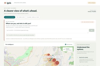
Wildfire evacuation routing that knows where the fire will be — not just where it is.
Prakarti Report — Report Today, Protect Tomorrow.
HokieFlow is an AI student platform for smarter campus life, project building, career discovery, resume creation, job matching, and guided applications—all powered by Databricks.
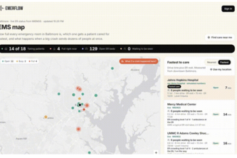
WayPoint Allocations turns ED chaos into action: it spots capacity crunches before they hit, and tells staff exactly which beds, nurses, or transfers will fix it — in real time.
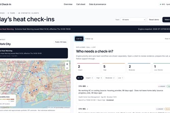
Heat Check-In gives NYC behavioral health social workers a call sheet showing whom to contact and why, then tracks support and carries confirmed answers into the next heat alert.
Earth loses forest to illegal mining every day because nobody's watching the satellites. GeoSentry watches five real zones and only alerts when multiple signals confirm it.
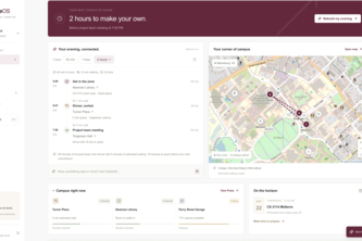
Hokie Guide is a personalized campus companion that helps Virginia Tech students find the best places to eat, study, park, and spend time based on what they need.
Sidewalk History puts landmark stories in your pocket helping you connect with historic landmarks while giving historians a platform to design tours.
Your new neighbour
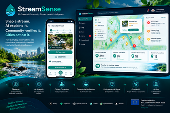
AI-powered community stream monitoring that turns citizen photos into explainable environmental signals, community-verified insights, and actionable One Health alerts.
AIDC Nexus helps solve data center locating by compiling data from satellites, grid, and water data, creating a heat map of ideal data center locations: this ensures eco friendly placement.
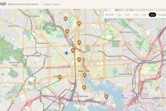
Too good to scrap! A live food-rescue website for Baltimore to help reduce food waste. Stores post surplus food; users claim it on a live map.
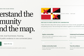
Our project is about helping city planners or business owners understand Silver Spring by bringing community, business, and data together in one easy-to-use map and providing trend lines and charts.
A rules-based tool for whether you can park in Syracuse University and adjacent lots and garages right now — based on your permit type, the time of day, the day of week, and Dome/event restrictions.
Shortcuts shouldn't stop at a staircase.
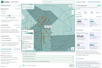
UrbanEye transforms fragmented public data and civic documents into an interactive map. Our verifiable AI delivers transparent, source-backed business insights to drive smarter community development.
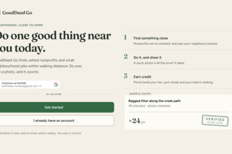
Makes philanthropy addictive: snap proof of a good deed, AI verifies it, and nearby volunteering turns into quests, points, and leaderboards.