Devpost
Participate in our public hackathons
Devpost for Teams
Access your company's private hackathons
Grow your developer ecosystem and promote your platform
Drive innovation, collaboration, and retention within your organization
By use case
Blog
Insights into hackathon planning and participation
Customer stories
Inspiration from peers and other industry leaders
Planning guides
Best practices for planning online and in-person hackathons
Webinars & events
Upcoming events and on-demand recordings
Help desk
Common questions and support documentation
Sort by:
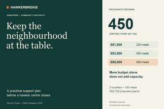
When a hawker centre closes, keep the neighbourhood at the table. Turn Singapore open data into practical meal-support plans, with clear costs, nearby alternatives and evidence you can check.
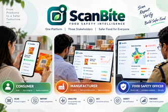
ScanBite- it is a packed food ecosystem, which has three main modules :1.Consumer2.Manufacturer3.Officer
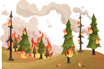
ASAP? We see smoke before Instagram story does
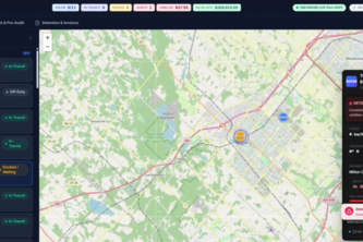
AI trucking dispatch platform automating MTO/HOS load-matching, real-time ELD handshakes, geofenced detention billing, and 3D cargo axle audits with an embedded voice co-pilot.
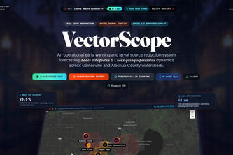
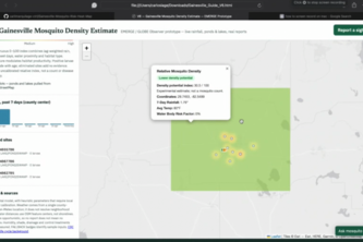
Autonomous GIS intelligence platform forecasting vector-borne mosquito dynamics across Alachua County watersheds using NASA STAC telemetry, CDC SVI, and Briére-1 thermal modeling.
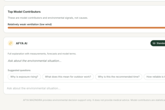
From one Kenyan weather station's readings to heat-safety decisions: a 9-hour forecast, best time to work, and farm advice in English and Kiswahili.
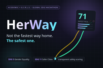
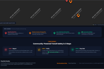
Not the fastest way home — the safest one.
AquaPulse AI converts citizen reports, images, water-quality inputs, weather context, and historical records into real-time risk maps and action recommendations.
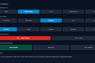
AquaLens transforms stream data and citizen observations into clear maps, trends, comparisons, and actionable water-health insights for smarter environmental decisions.
Satellite GPS fixed app for bookings worldwide: 33 deals flights/hotels/eSIM 190+ countries + 7-day live weather + AI smart packing
Empowering citizen scientists with real-time computer vision to turn everyday stream observations into validated, decision-ready freshwater health intelligence.
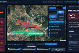
An AI-powered early warning dashboard that models river surges 6 hours ahead and renders 3D mountain maps to help communities evacuate safely before flash floods strike.
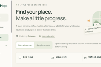
DeskHop finds you somewhere to study. Search real Colorado spots by what you need, reserve a room, run a timer, and let friends know where you are.
Know if it's safe before you get there, not after.
Estes turns local waste — eucalyptus, coffee husk, rice husk — into sensors, filters, and scientific evidence. Open source platform for environmental citizenship.
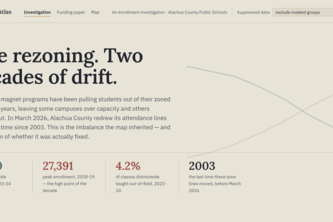
Equity Atlas reveals how enrollment, funding, staffing, and school choice shape opportunity across Alachua County—making inequities visible and helping East Gainesville advocate for change.
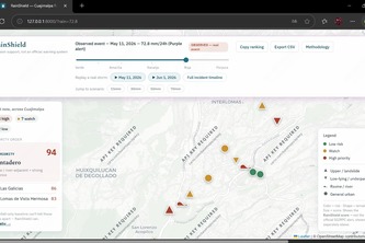
Move a rain slider and see which Cuajimalpa neighborhoods to prioritize for floods and landslides.
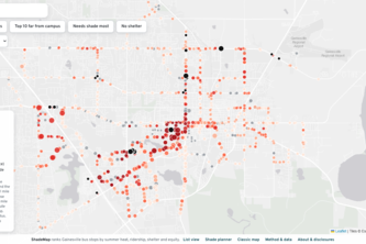
Ranking every Gainesville bus stop by heat, so shade goes where it's needed most.
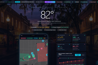
Hyperlocal Urban Heat & Civic Climate Resilience platform mapping Gainesville heat islands and mutual-aid infrastructure with NASA GLOBE and Google Gemini AI.
Wind shifts, we shift faster turning citizen fire reports into climate-resilient decisions, instantly.
Interactive map designed to prevent Dengue and other mosquito-related illnesses by providing real time mosquito heat zones.
Type two Philly addresses and an AI agent scans the city's live 311 data — 5.9 million rows — to route you around the potholes.
Turning hurricane reports into interactive damage maps with traceable evidence.
Data Center Energy Recovery Finder