-
-

Khabardar — a street-hazard map that helps Lahore fix the most dangerous spots first.
-
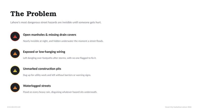
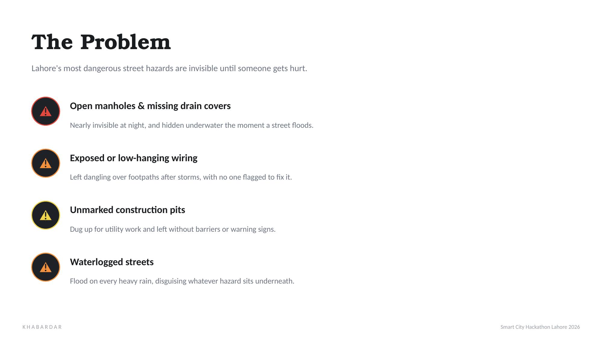
The problem: open manholes, exposed wires, unmarked pits, and waterlogged streets go unreported for weeks.
-
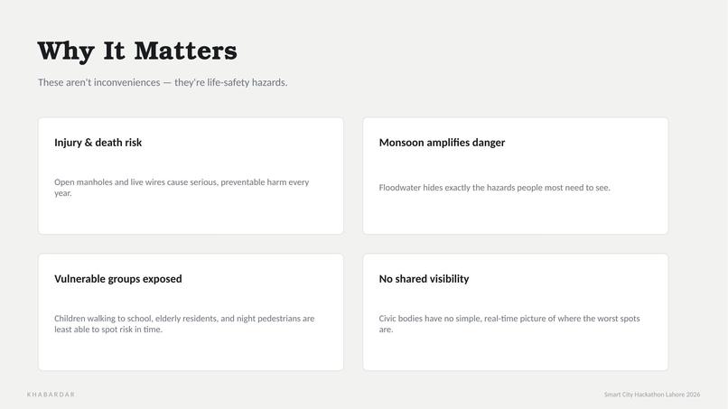
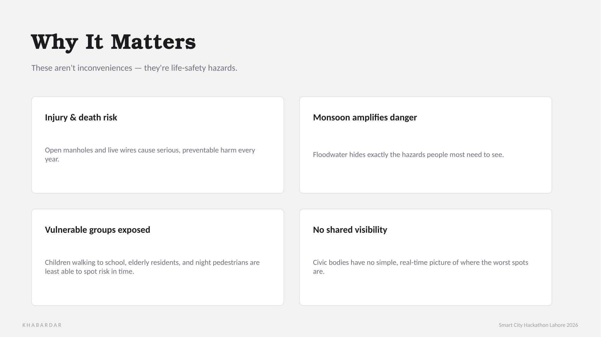
Why it matters — these are life-safety hazards, not just inconveniences, and they hit vulnerable groups hardest.
-
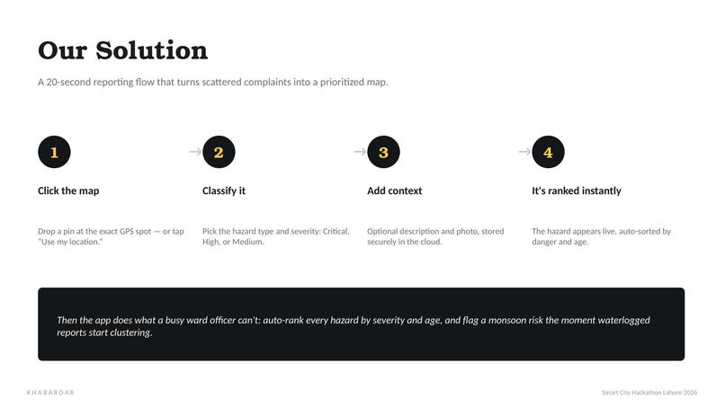
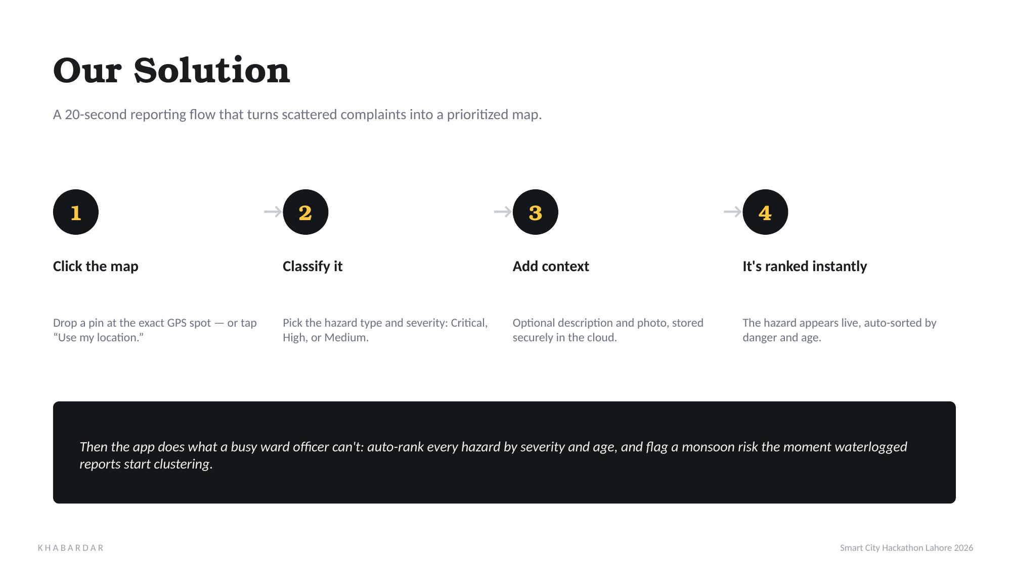
Our solution: a 20-second reporting flow — click the map, classify the hazard, and it's ranked instantly.
-
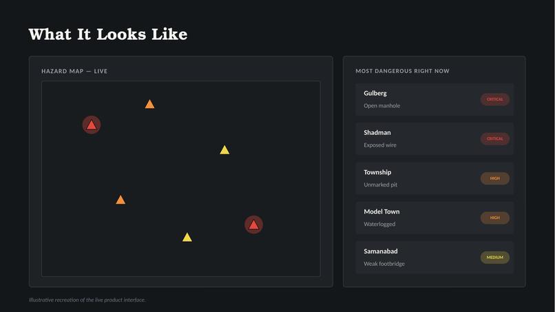
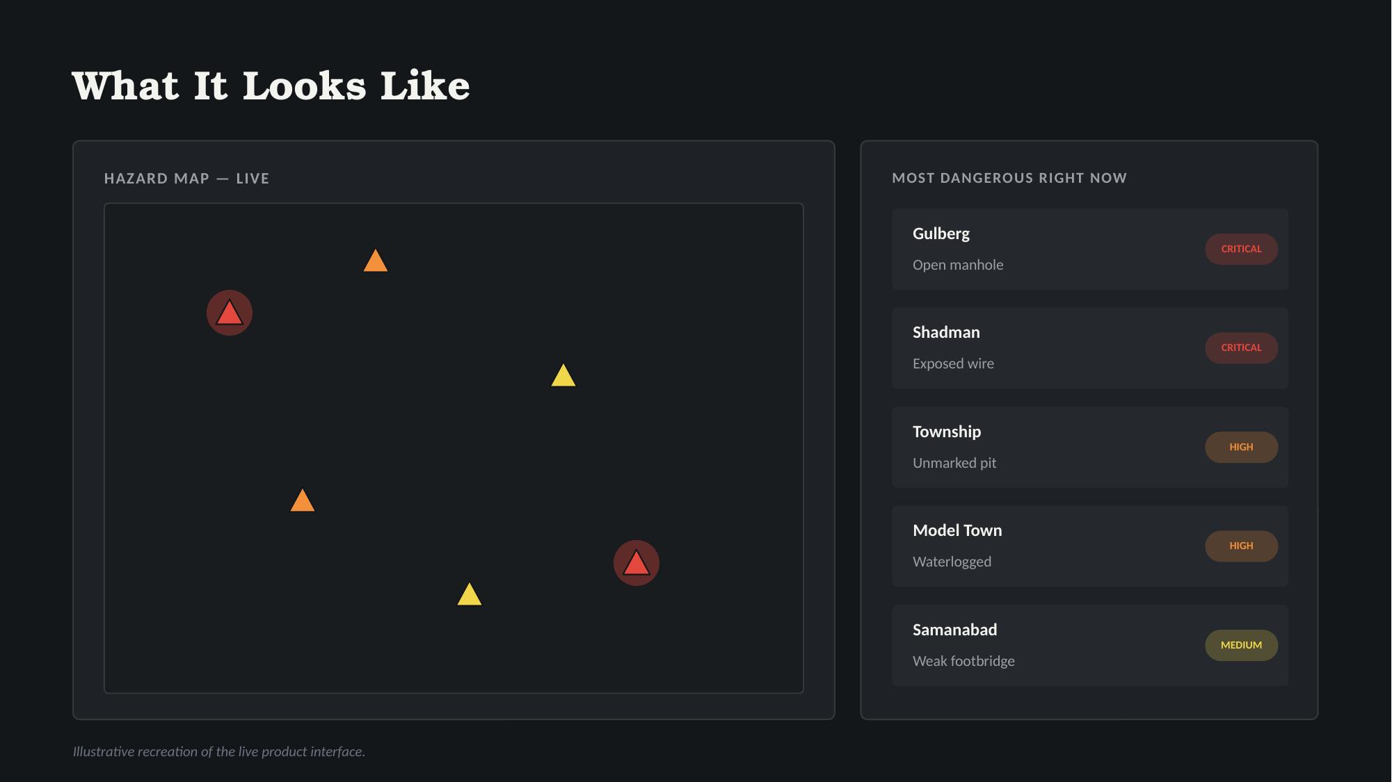
What it looks like — real hazard pins on a live map, auto-sorted into a "most dangerous right now" list.
-
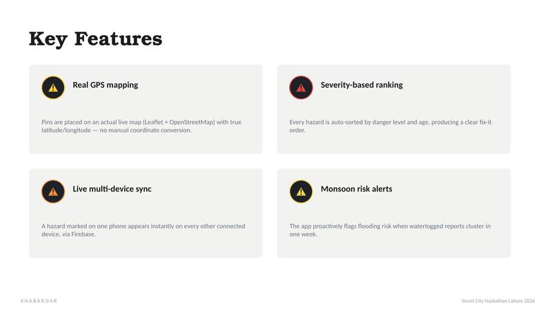
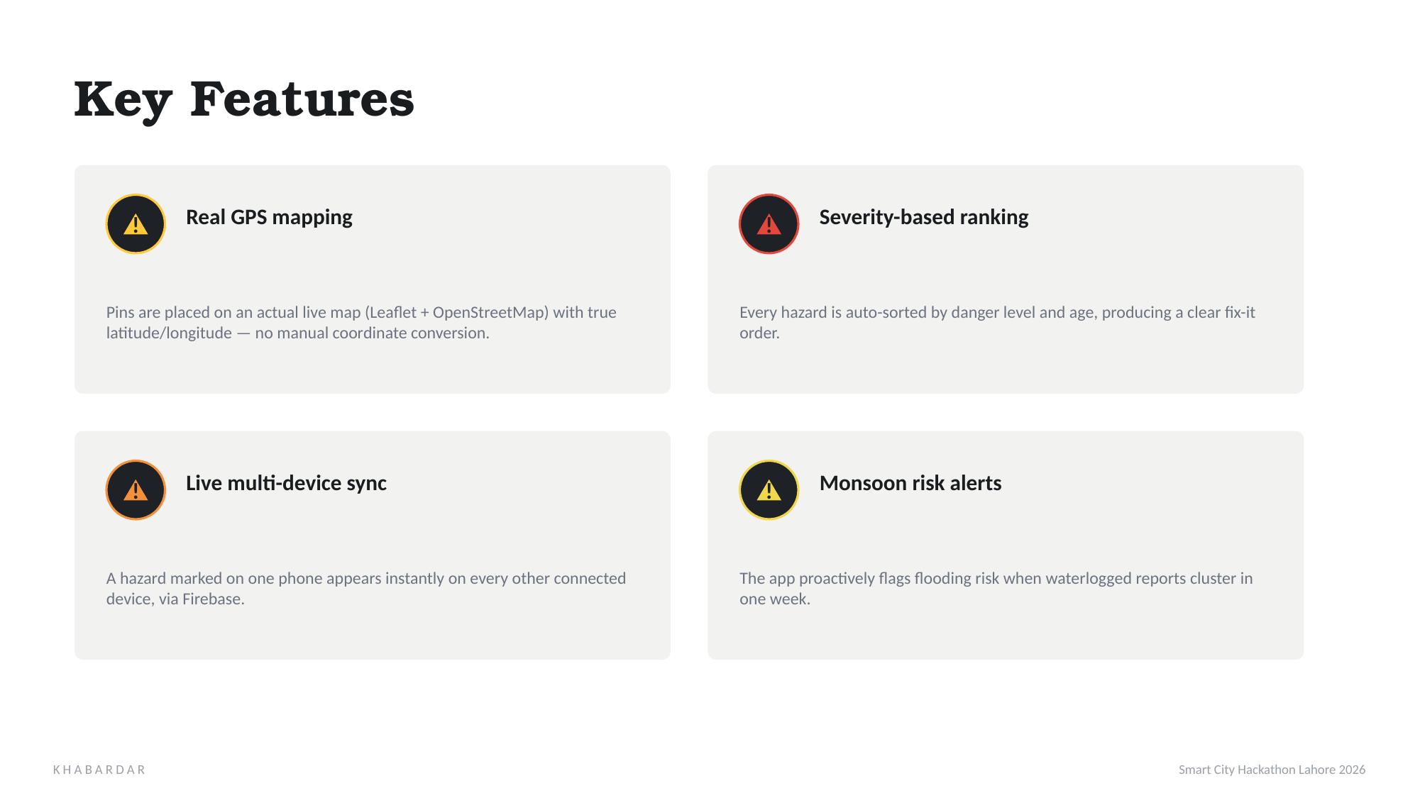
Key features: real GPS mapping, severity-based ranking, live multi-device sync, and automatic monsoon alerts.
-
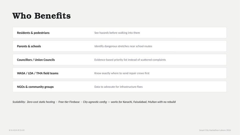
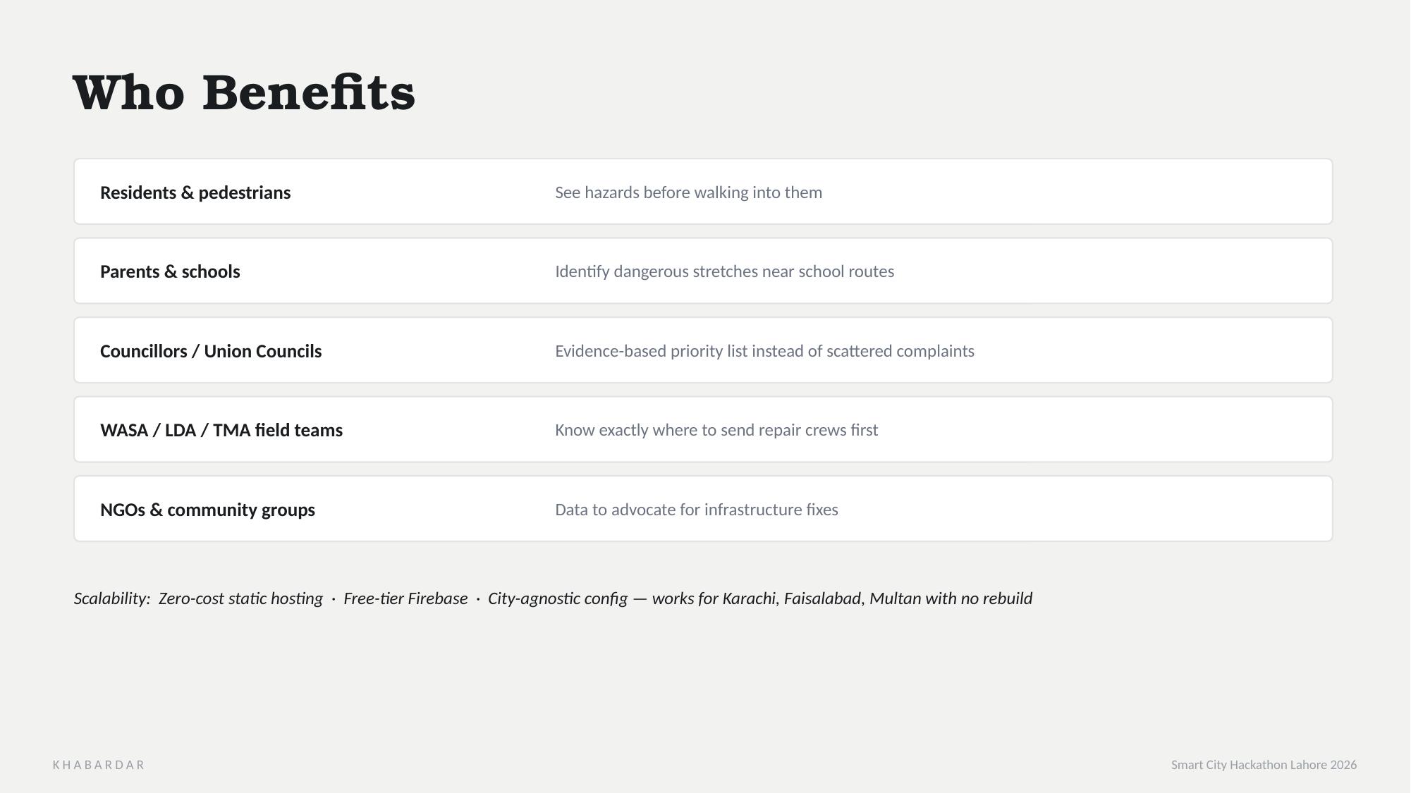
Who benefits — residents, schools, councillors, and civic bodies like WASA and the TMA.
-
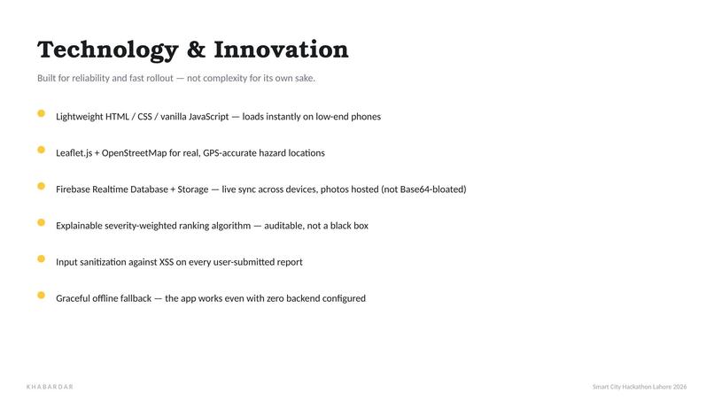
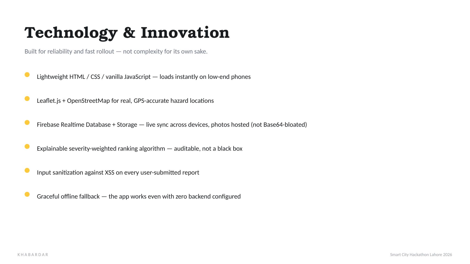
Built with HTML, CSS, JavaScript, Leaflet.js, and Firebase — lightweight, GPS-accurate, and reliable.
-
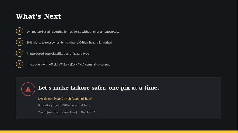
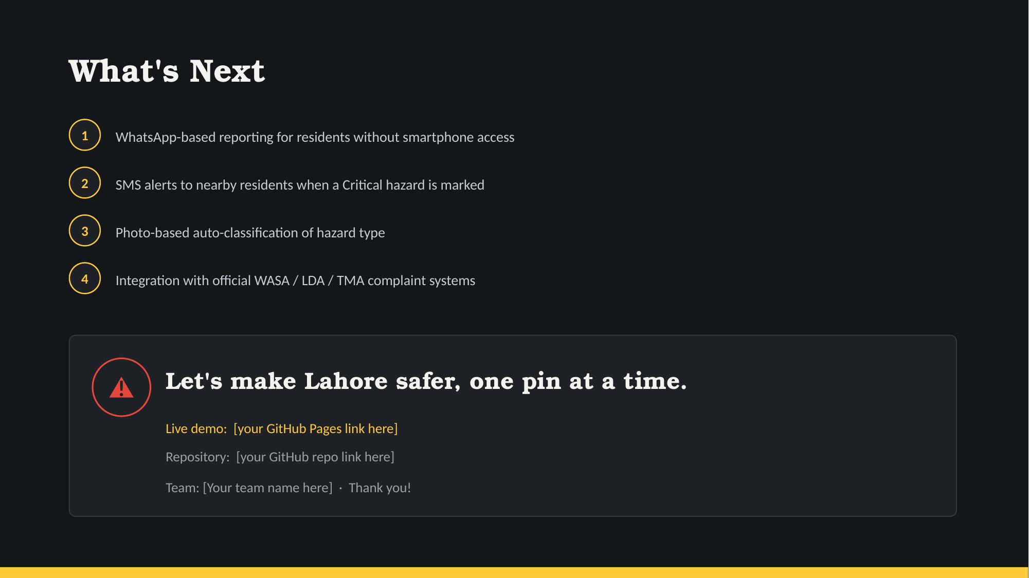
Our roadmap and the ask: let's make Lahore safer, one pin at a time.

Inspiration
Every year, Lahore's streets hide hazards that go unnoticed until someone gets hurt — an open manhole with a missing cover, a live wire hanging low after a storm, an unmarked pit dug up for utility work. During monsoon season, floodwater makes it even worse: it hides exactly the hazards people most need to see. There was no simple, shared, real-time way for residents to flag these dangers or for civic bodies to know which one to fix first. That gap is what pushed us to build Khabardar.
What it does
Khabardar lets anyone click on a live map of Lahore and drop a pin at the exact GPS location of a hazard — an open manhole, exposed wiring, an unmarked pit, a waterlogged street, or a weak footbridge. They pick a severity level (Critical, High, or Medium), add an optional description and photo, and submit. The app then automatically ranks every open hazard by severity and how long it's been sitting there, producing a clear "fix this first" list. It also detects rising monsoon flood risk automatically, flagging it the moment multiple waterlogged reports start clustering in the same week.
How we built it
We kept the stack deliberately lightweight: plain HTML, CSS, and vanilla JavaScript, so the app loads instantly even on slower connections. For the map, we used Leaflet.js with OpenStreetMap tiles so every hazard is placed with real latitude/longitude coordinates instead of an approximate sketch. For live, multi-device syncing, we used Firebase Realtime Database, with Firebase Storage handling photo uploads so the database itself stays lightweight. The whole app is designed to gracefully fall back to local browser storage if Firebase isn't configured, so it always works, even offline or with zero setup.
Challenges we ran into
As a smaller/beginner team, working with real GPS coordinates and live cloud sync was new territory for us. Getting the map to correctly capture click coordinates and translate them into a clean data structure took some iteration, and wiring up Firebase so that the app still works perfectly with zero configuration (rather than breaking if someone forgets to set it up) took careful thought. We also had to think seriously about basic security — sanitizing user-submitted text so the app can't be used to inject malicious content — since this is a tool meant for real public use, not just a demo.
Accomplishments that we're proud of
We're proud that Khabardar isn't just a mockup — it's a fully working tool with real GPS-based reporting, live sync across devices, and an automatic severity-ranking system that mimics how a real civic officer would triage hazards. We're also proud of keeping it genuinely accessible: no sign-up, no app install, and a reporting flow that takes about 20 seconds.
What we learned
We learned how much thought goes into building something that's simple to use but still handles real-world messiness — spotty connectivity, missing configuration, unpredictable user input. We also learned that a tool doesn't need heavy technology to be impactful; sometimes the innovation is in how the data is prioritized and acted on, not just in the tools used to collect it.
What's next for Khabardar
We'd like to add WhatsApp-based reporting for residents without smartphone access, SMS alerts to nearby residents when a Critical hazard is marked, and eventually integration with official WASA, LDA, and TMA complaint systems so reports can flow directly into the agencies responsible for fixing them.
Built With
- css
- firebase
- html
- javascript
- leaflet.js
- openstreetmap
- realtime
- storage

Log in or sign up for Devpost to join the conversation.