Devpost
Participate in our public hackathons
Devpost for Teams
Access your company's private hackathons
Grow your developer ecosystem and promote your platform
Drive innovation, collaboration, and retention within your organization
By use case
Blog
Insights into hackathon planning and participation
Customer stories
Inspiration from peers and other industry leaders
Planning guides
Best practices for planning online and in-person hackathons
Webinars & events
Upcoming events and on-demand recordings
Help desk
Common questions and support documentation
Sort by:
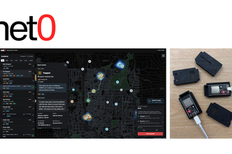
Gridlock Scout compares public construction plans from neighboring power utilities on an interactive map. It flags nearby projects, shows their published timelines and local conditions.
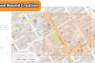
Anole helps Houston neighbours create community maps to document places, conditions and solutions, from cooler spaces and accessible facilities to wildlife sightings and maintenance needs.
Uncloak makes complex data center and power infrastructure data easy to see and use for everyone. We help communities see the impact of data centers nearby and serve as a source of transparency.
See every crop bed live, for $73 instead of $1,200. Farm Hand checks the soil every second and waters for you, saving time, money and water.
Hey, I just ate this. And this is crazy. I'm feeling sick now. Recall me maybe!
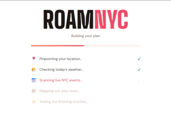
Too many options, no idea what to do? RoamNYC ends decision fatigue with an instant NYC plan tailored to your mood, budget, weather, and today's live events.
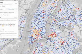
CitiScan predicts whether a Citi Bike dock will still be open when you arrive, and finds you a backup if not. Tested on real dock data: 62% fewer surprise full stations.
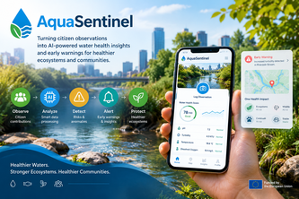
“AquaSentinel — Turning citizen observations into AI-powered water health insights and early warnings for healthier ecosystems and communities.”
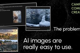
Ground projects in time and space and find localized reference images!
ResQ helps people reach emergency responders during disasters using low-bandwidth communication, while mapping and organizing reports so responders can quickly find and prioritize those in need.
Out There is a map-based app for real-life connection. It finds local events from your location or uses AI to spin up spontaneous meetups when demand aligns, cutting all planning fatigue.
From finding care to feeling cared for.
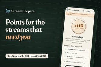
Citizen-science points priced by what OneAquaHealth doesn't know yet: unchecked streams, old lab data, health risk. Never by the result. Stored as validated OneAquaHealth FHIR.
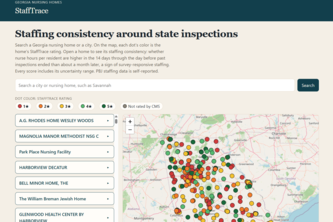
What nursing home ratings miss between inspections
An off-grid emergency system that lets anyone send an SOS without cellular service or an app, while AI agents process, communicate, and instantly dispatch first responders.
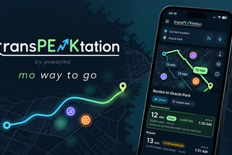
By YoWayMo, mo(re) way to go! Never get stuck in the crowd you saw coming.
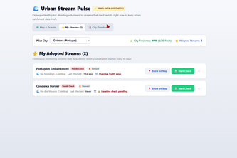
StreamKeeper turns volunteers into stream stewards by prioritizing overdue waterway checks with a dynamic map and quests followed with 5 question survey
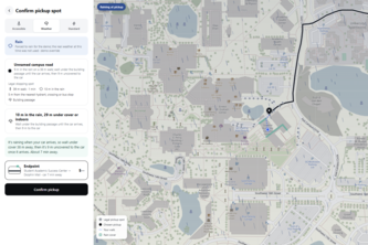
The right pickup spot, for every rider
An interactive event map that combines a 3D view of the venue with indoor floor plans, helping attendees easily navigate large campuses, conferences, and multi-building events.
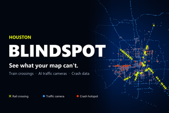
See what your map can't. BlindSpot saves Houston drivers' time by showing why traffic is slow using live monitoring and intelligent routing that Google and Waze lack.
BRIDGE helps low-literacy users find nearby food, shelter, water, and help using pictures, voice, and photos—no reading needed. It also builds reading skills as you go, one search at a time.
One shared record per urban stream. Maps say where to look first, volunteers report what the maps and rare lab visits miss, and the lab confirms. All in OneAquaHealth's own FHIR standard.
CivicAI turns citizen photos of potholes & floods into AI-ranked, real-time action for city staff — merging duplicate reports and scoring true urban risk instantly.
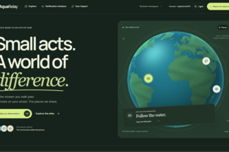
AquaRelay turns everyday environmental observations into shared evidence, helping communities verify what’s happening and giving experts clearer information to act.