-
-
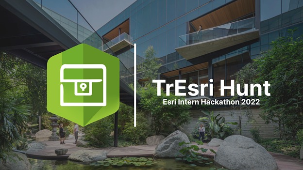
TrEsri Hunt
-
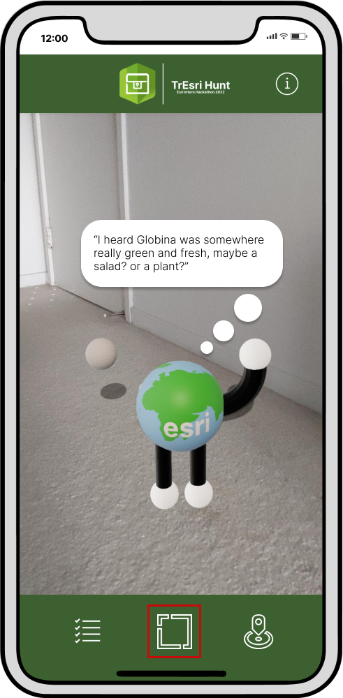
App Opens
-
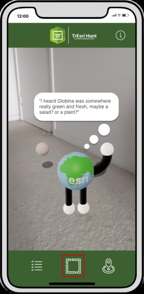
Globie AR Interface
-
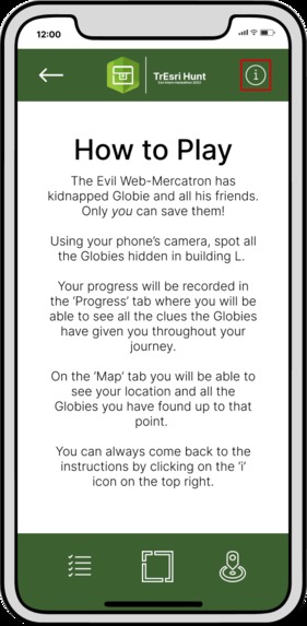
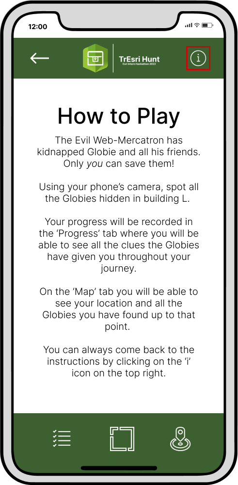
Game Instructions
-
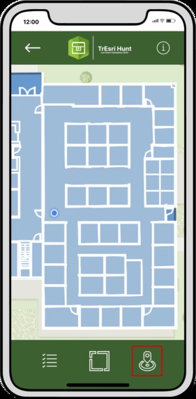
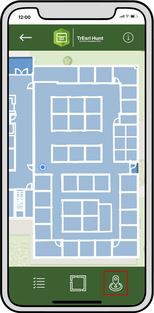
Map Interface
-
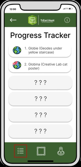
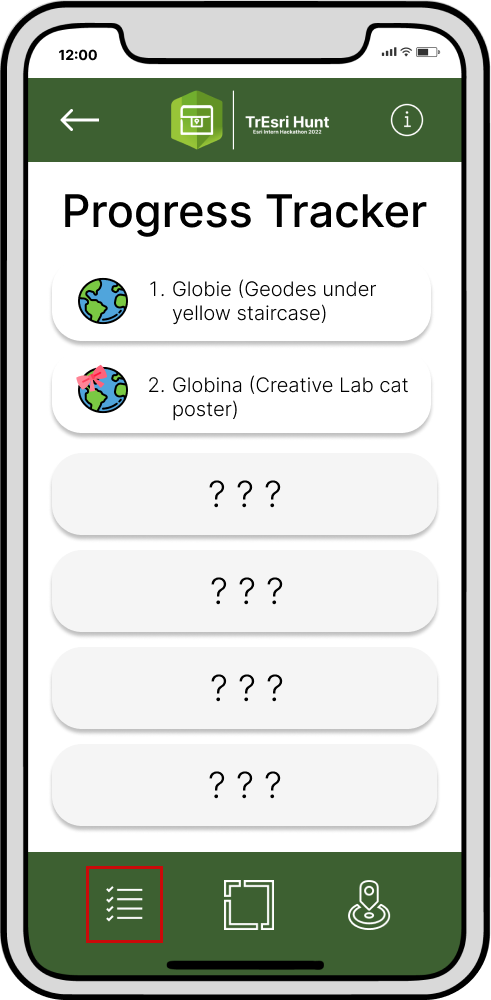
Progress Tracker
-
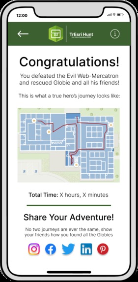
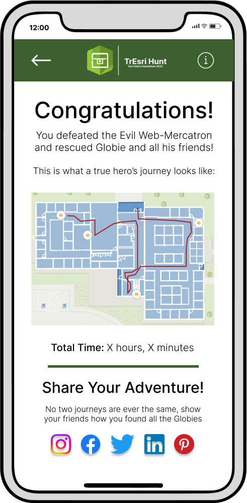
Game Completion
Inspiration
The Esri User Conference is one of the most highly anticipated and thrilling events within the GIS community. Hundreds of users from all over the world and from different industries come together to learn, reconnect and discover the latest GIS advancements and technology. This year's UC, Esri introduced numerous social media backgrounds that allowed users to share via social media their attendance at the UC. #esriuc
Beyond the social media backgrounds, it would be advantageous for Esri to incorporate an interactive game that would enhance users' experience at the conference. Our product aims to incentivize users to interact with vendors and others, in order to find Globies and share their Esri experience through social media. This app will empower users to further engage with one another and to familiarize themselves in a light-hearted manner with conference surroundings.
What it does
In our app TrEsri Hunt, you can (i) hunt the virtual treasures hidden in the playground building using the AR camera, and (ii) navigate treasures found and not-yet-found using the ArcGIS Online map and (ii) navigate treasures found and not-yet-found using an ArcGIS Online map.
How we built it
TrEsri Hunt is an Android app. There are two major services in the app: AR camera and treasure map. The AR camera is implemented using Google ARCore and Sceneform. The game organizer can place the virtual treasures before the game, and the gamers can see the treasures only through the AR camera in app.
The treasure map is built with ArcGIS Runtime API for Android. We leveraged online web map and device location tracking, such that the players are able to see their own location and the treasures they have found.
To capture the location of the Globies, we employed ArcGIS Quick Capture. The captured features were then imported into ArcGIS Pro and geocoded to floor-aware layers in ArcGIS Indoors. The final product was then published as a web app and incorporated into game application.
Challenges we ran into
A major challenge on development is the environment configuration. Google ARCore and Android studio have complex dependencies to setup. It takes long for us on configuration before we could actually start coding.
Accomplishments that we're proud of
- We implement the AR camera to place custom 3D models in real-world scene with a single tap.
- We are able to integrate the web map and device location tracking in the android map, as well as to show the feature layer imported from ArcGIS portal for Indoor layout and treasure location.
What we learned
- How to build an AR Android app.
- How to integrate ArcGIS web map in an android map.
- Build 3D models and import to Android app.
- Import custom feature layers from ArcGIS portal.
- Teamwork!
- A little bit of game design XD.
What's next for TrEsri Hunt
GeoHunters had an very ambitious idea on TrEsri, but were not able to implement them all due to limited time. The fancy features include:
- Enable the game organizers to set up the virtual treasures in a more friendly way, instead of going to the location in person when placing the treasure.
- Use geo fencing to trigger AR hints when the player is closed enough to the virtual treasure.
- Integrate the AR camera and treasure map in a single app (they now run separately).
- Use ArcGIS indoor positioning so the treasures can be placed and found on any floor in the building.
Lastly, we would ideally like to have the Esri User Conference 2023 adopt the game application.
Built With
- arcgisindoors
- arcgisonline
- arcgispro
- arcgisquickcapture
- arcgisruntimeapiforandroid
- googlearcode
- java
- kotlin


Log in or sign up for Devpost to join the conversation.