-
-

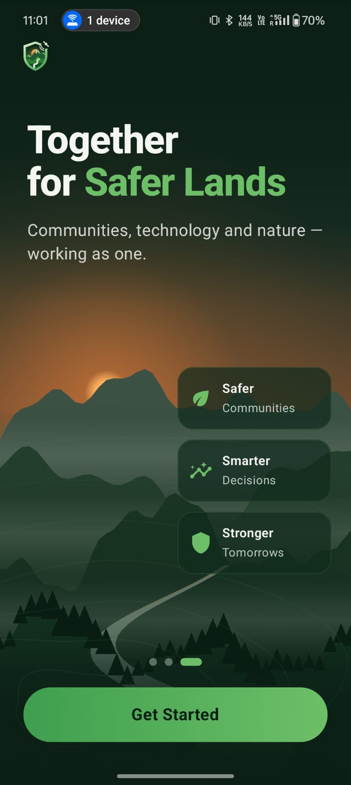
Openning
-
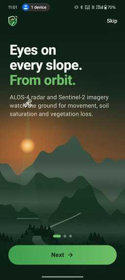
-
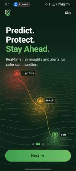
-
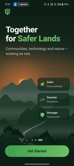
-
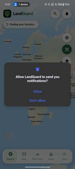
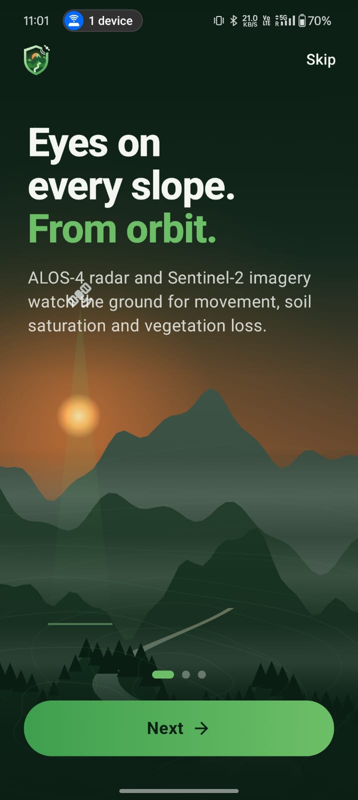
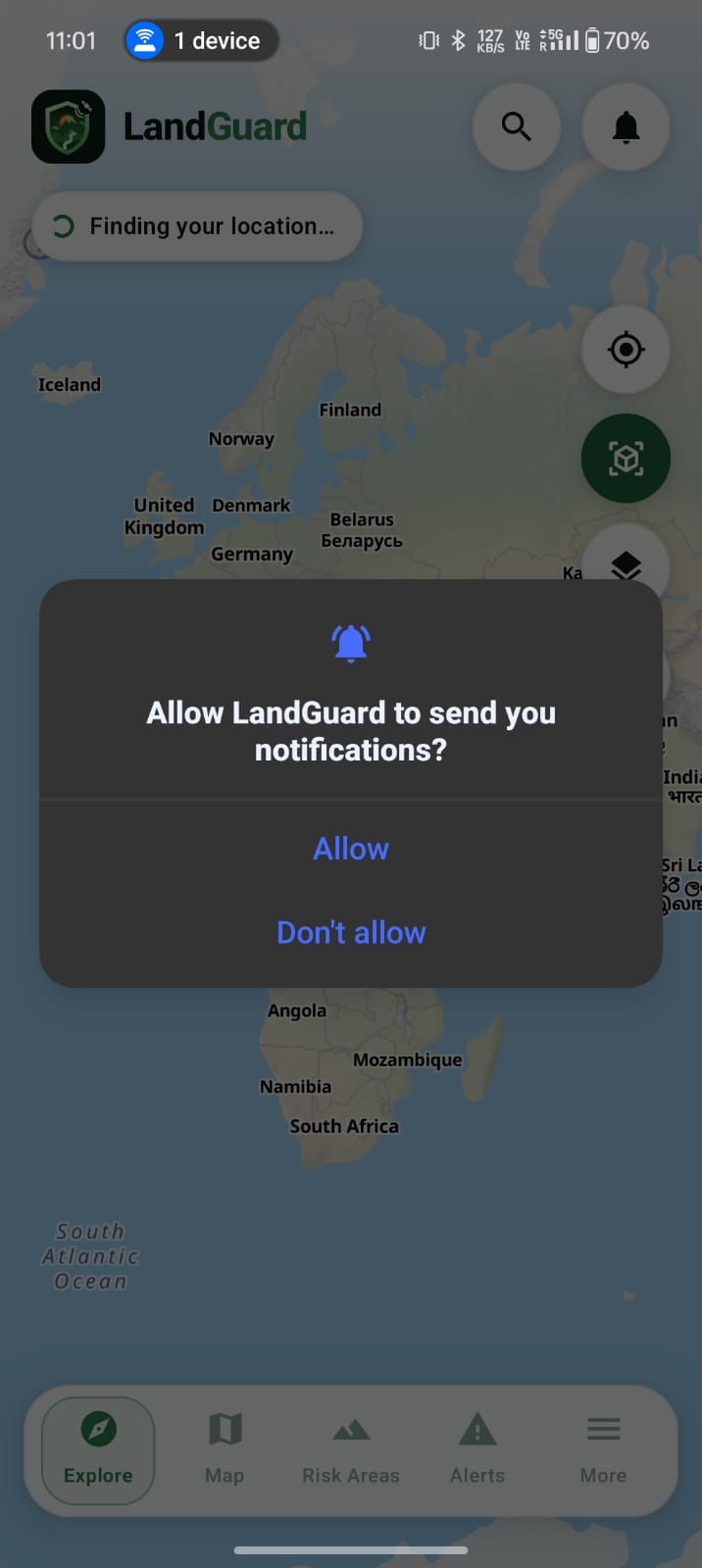
1st permission
-
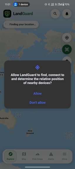
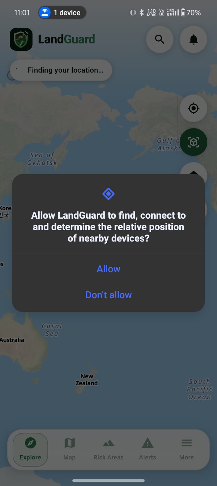
2nd permission
-
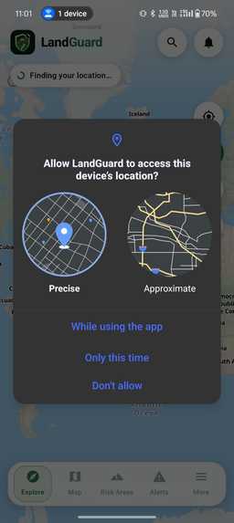
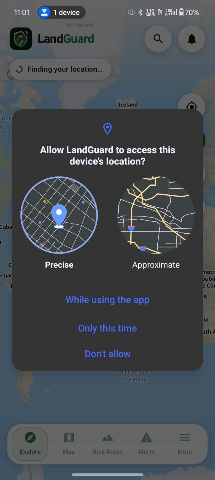
3rd permission
-
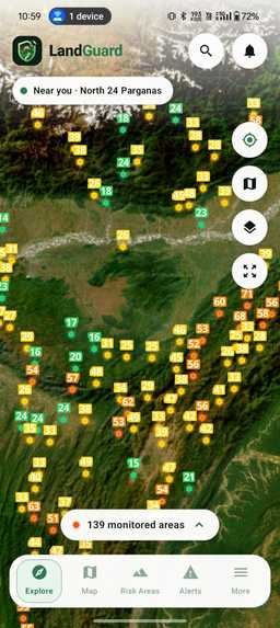
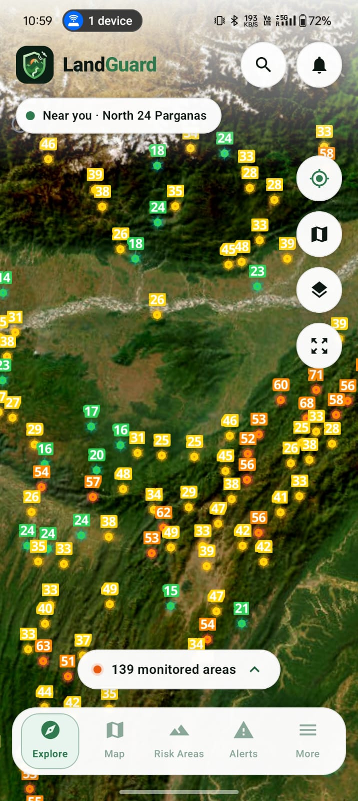
Homepage
-
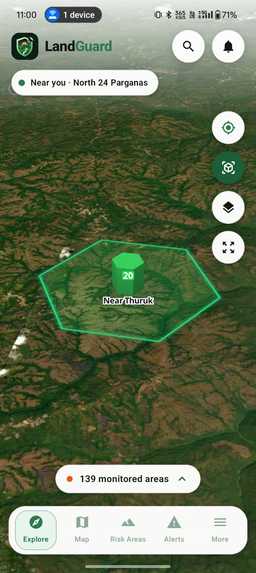
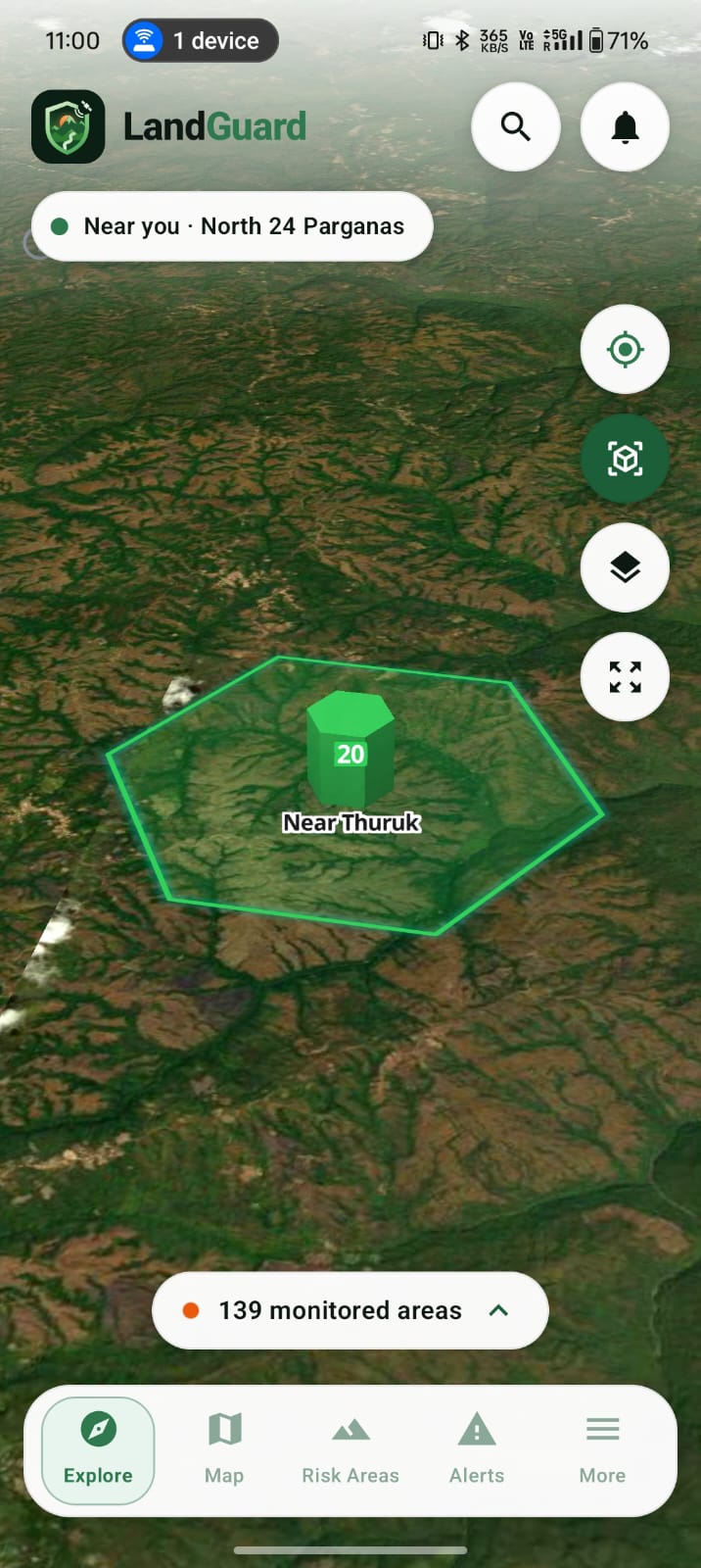
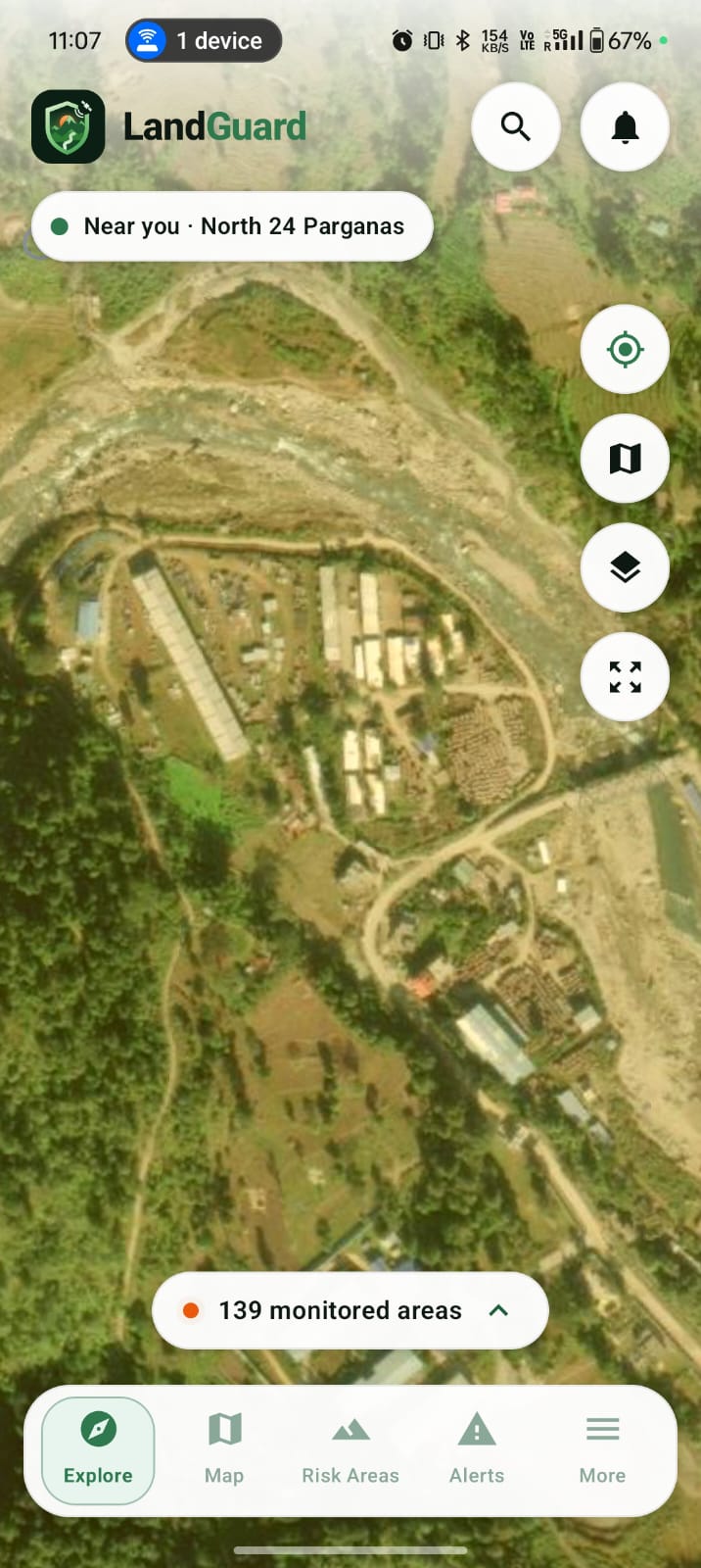
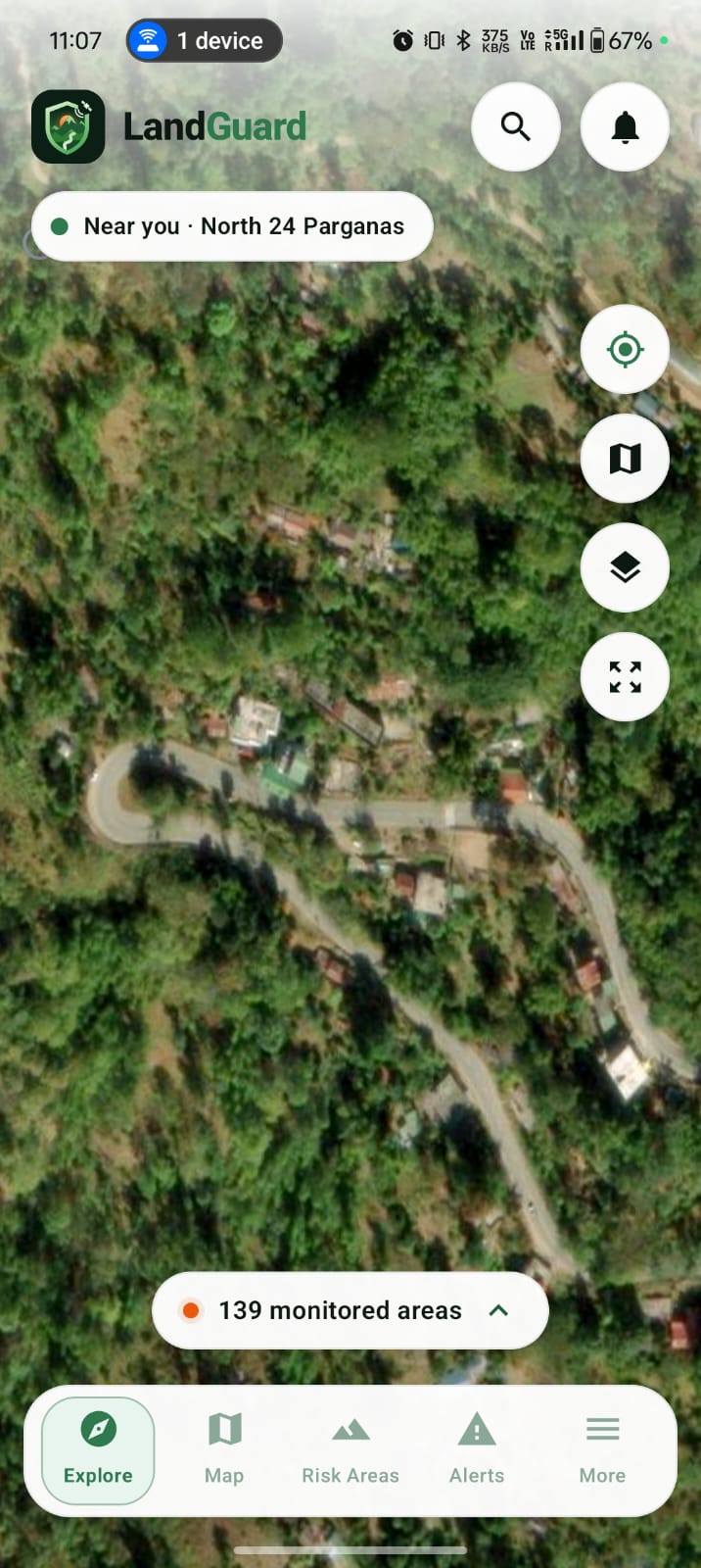
Satellite View With Calculated information with satellite imagery.
-
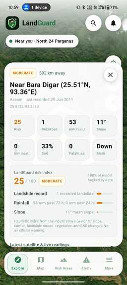
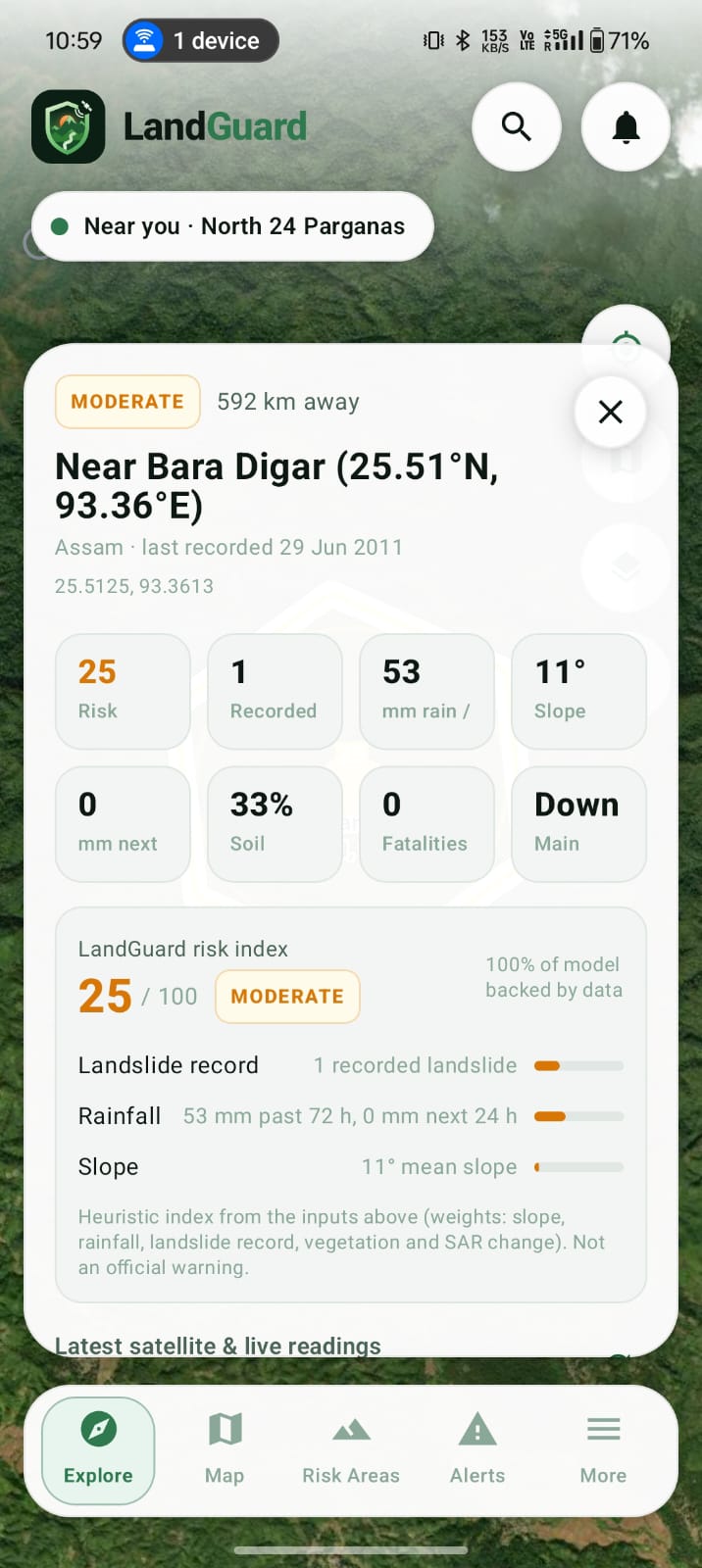
Details of the given alert.
-
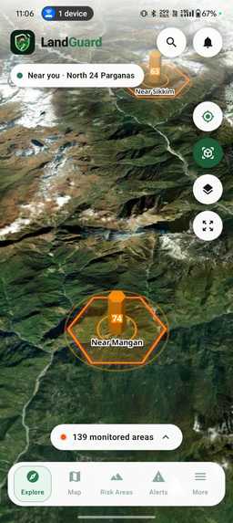
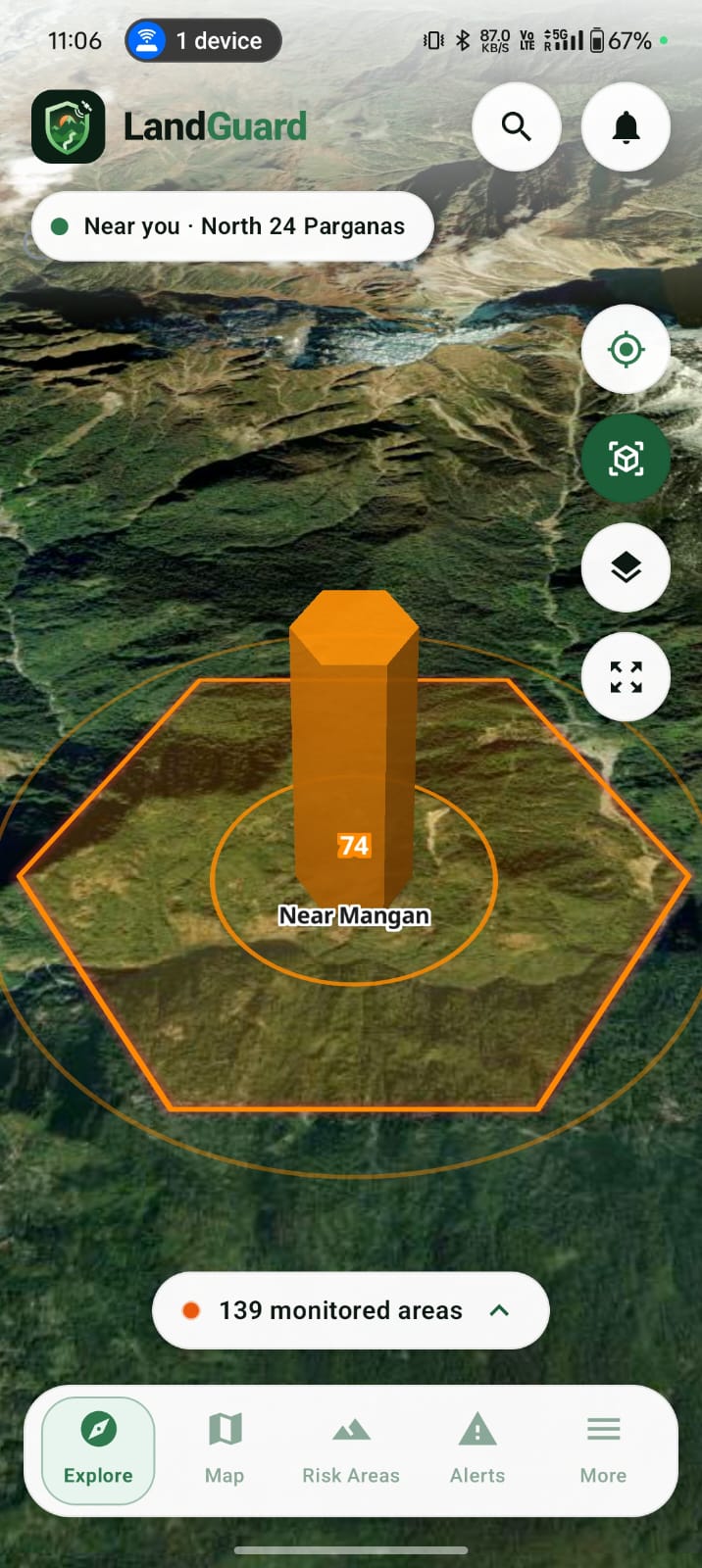
OverView
-
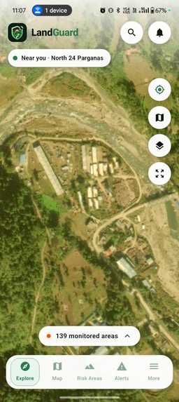
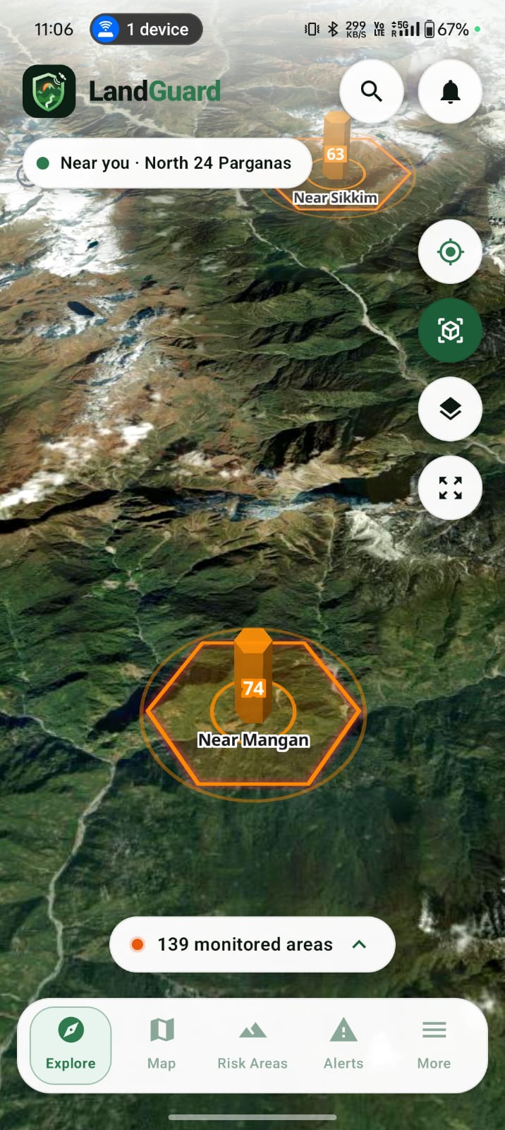
Clarity of all view
-
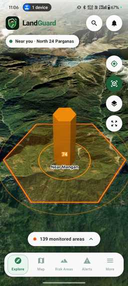
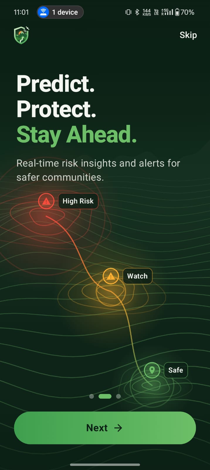
Clarity of all view with the risk bar. Which shows that how much risk is there in that particular area with the calculated data.
-
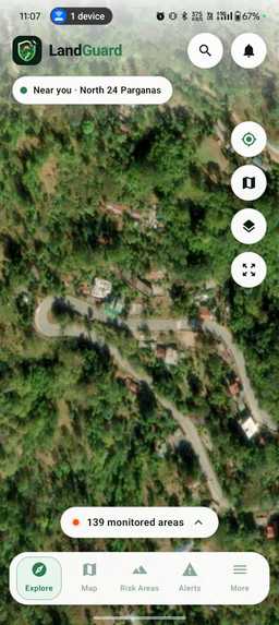
Clarity of all view
The Story Behind LandGuard
The Inspiration
During a flood, knowing that an area is affected is only the beginning. Emergency teams also need to know where the flood reached, what infrastructure was affected, and which communities may have become isolated.
When roads, bridges and communication infrastructure are damaged, ground-based information can become incomplete or delayed.
This inspired us to build LandGuard — a space-based disaster intelligence platform designed to transform satellite observations into actionable information for emergency response.
Our core idea is simple:
See the damage. Understand the impact. Reach the people.
What LandGuard Does
LandGuard combines satellite imagery, artificial intelligence, geospatial analysis, road-network analysis and resilient mobile communication into one disaster-response workflow.
The system is designed to take an area of interest and an event date, process satellite and geographic information, and generate an interpretable picture of the disaster.
The workflow uses:
- Sentinel-1 SAR for before/after radar-based flood analysis.
- Sentinel-2 optical imagery for complementary surface information when suitable imagery is available.
- Copernicus DEM for elevation and terrain analysis.
- Pre-event OpenStreetMap data for buildings, roads and bridges.
- AI-based segmentation to identify flood-affected areas.
- Geospatial overlay analysis to estimate potentially affected infrastructure.
- Road-network analysis to identify settlements that may have lost connectivity to important locations such as towns or hospitals.
The resulting intelligence is presented through an interactive GIS dashboard and the LandGuard Android application.
From Satellite Data to Decisions
Our system follows an end-to-end pipeline:
Area + Event Date
        ↓
Satellite & Geospatial Data
        ↓
Preprocessing
        ↓
AI Flood / Change Detection
        ↓
Flood Extent
        ↓
Infrastructure Impact Analysis
        ↓
Road Network Analysis
        ↓
Potentially Cut-off Settlements
        ↓
Situation Report + GIS Dashboard
        ↓
LandGuard Mobile Application
Built With
- androidapp
- artificialintelligence
- computervision
- deeplearning
- disasterresponse
- flooddetection
- geopandas
- geospatial
- gis
- kotlin
- machine-learning
- openstreetmap
- python
- remotesensing
- satelliteimagery
- sentinel-1
- sentinel-2


Log in or sign up for Devpost to join the conversation.