Inspiration
During floods and landslides, the shortest route is not always the safest route. Existing navigation systems often lack real-time disaster awareness. This inspired us to build RESQ, a system that combines hazard data with intelligent routing to help people find safer evacuation paths during disasters.
What it does
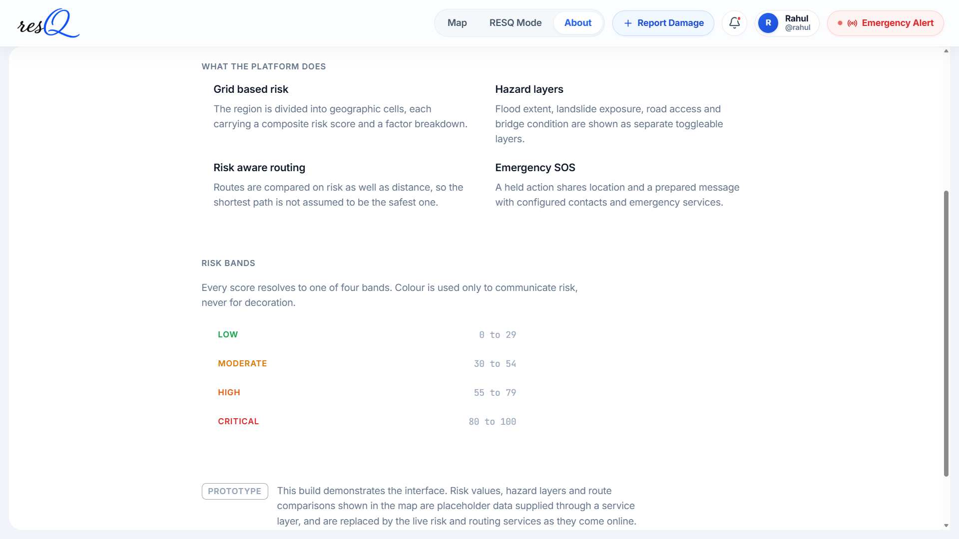
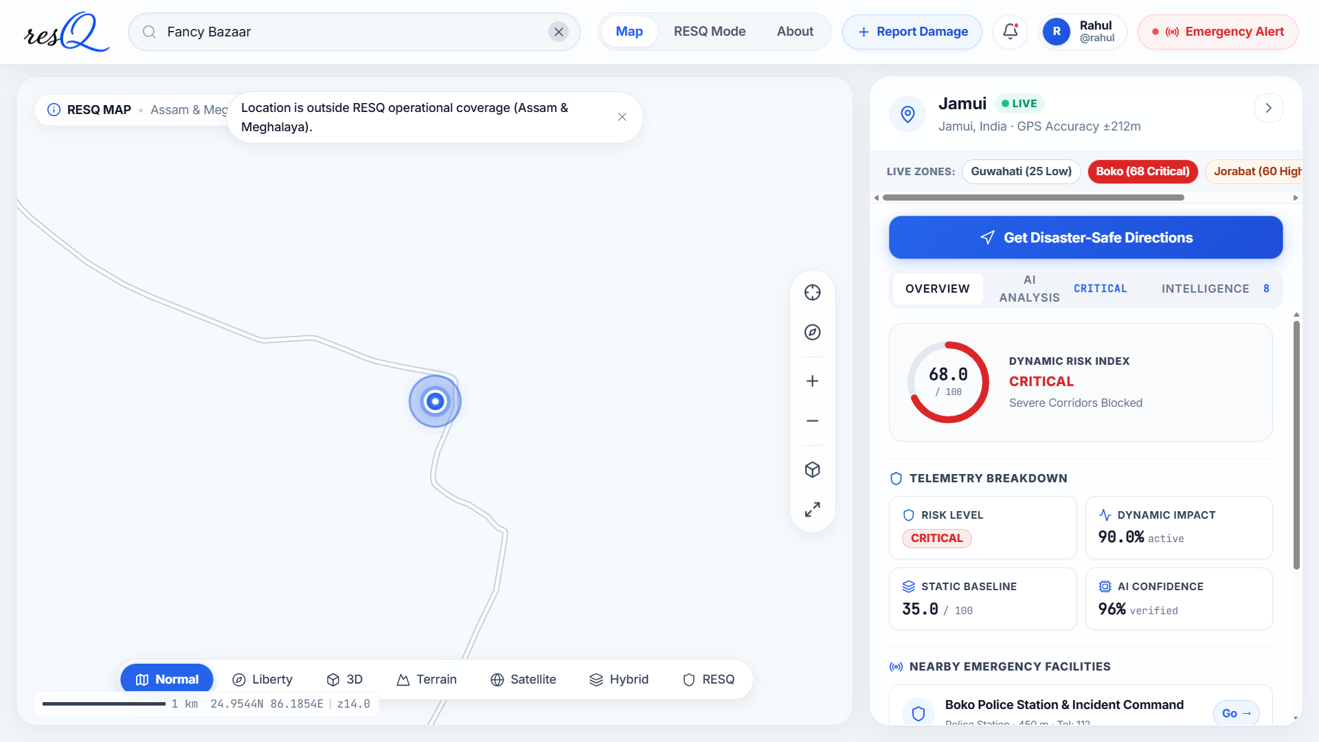
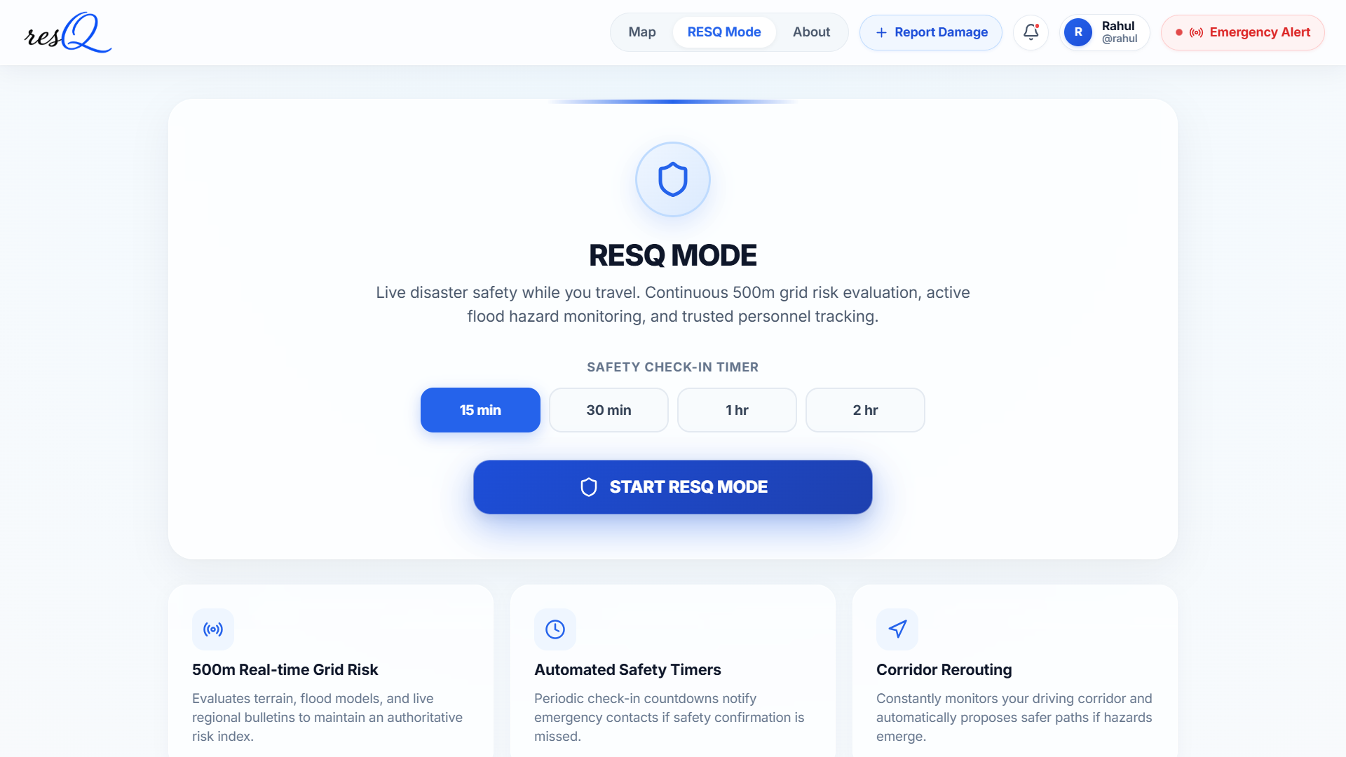
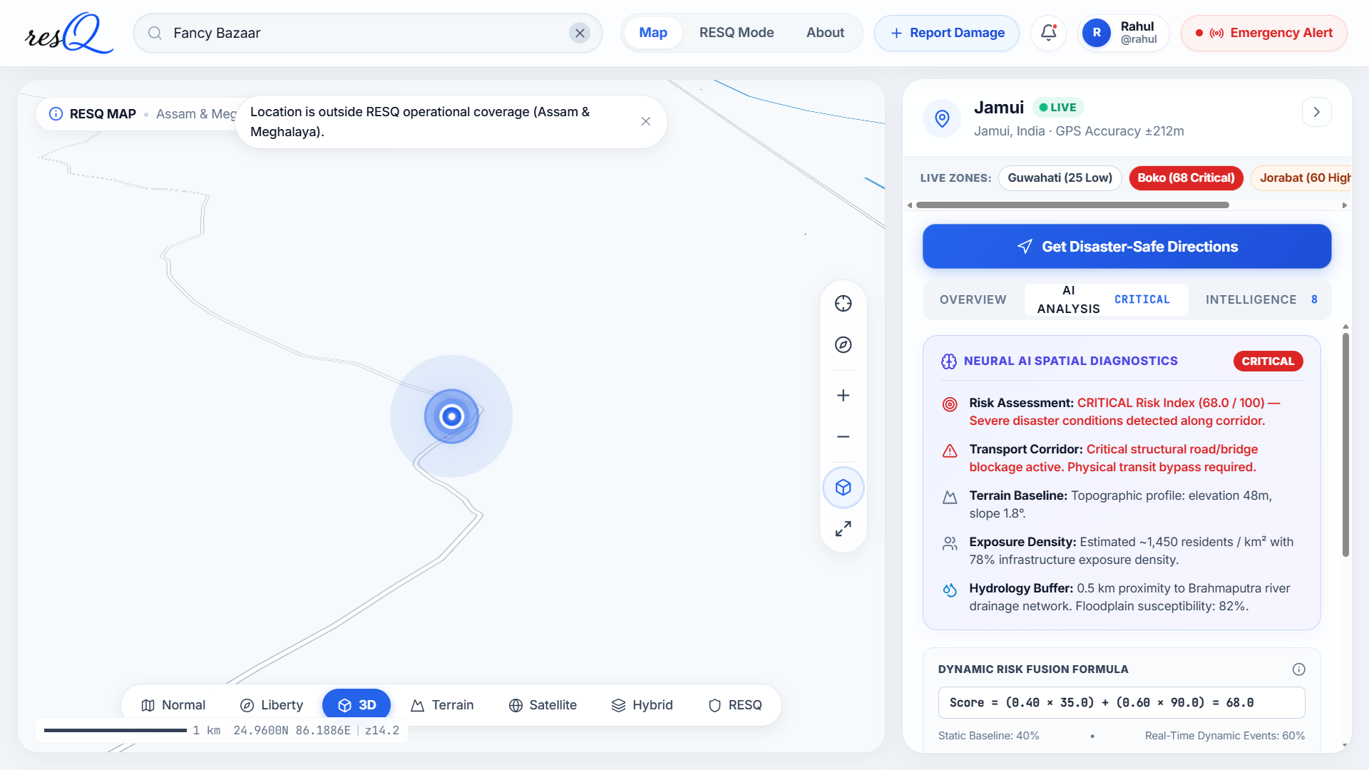
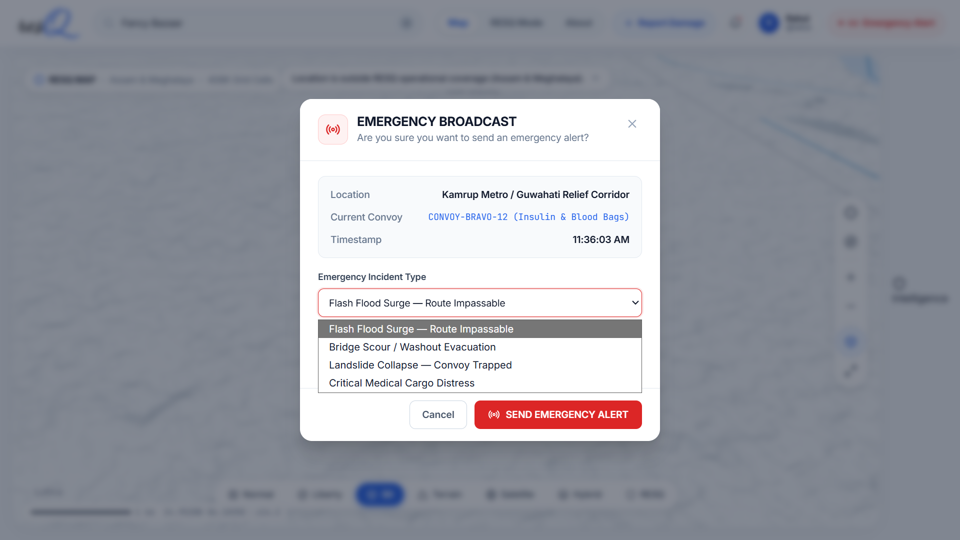
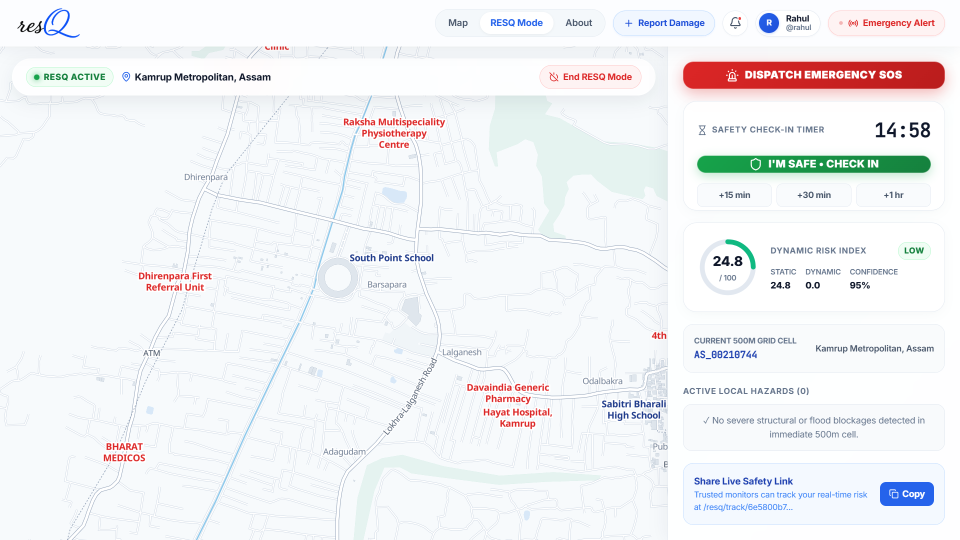
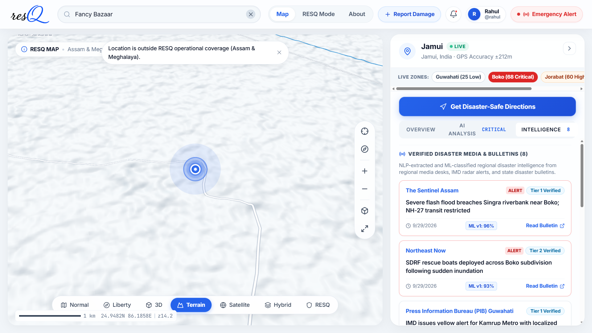
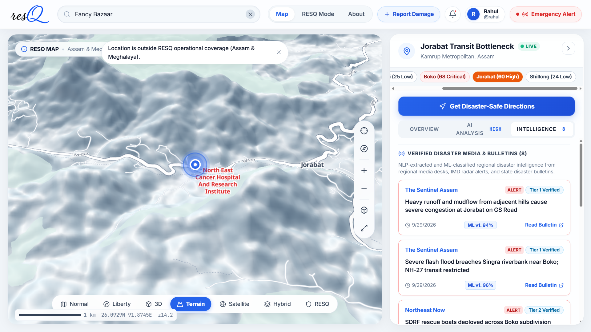
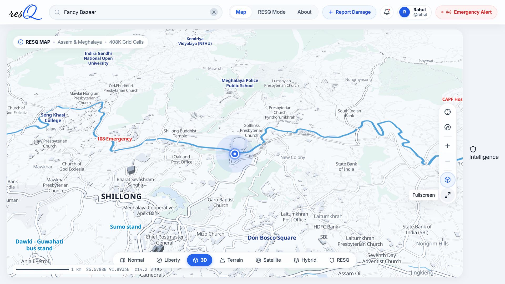
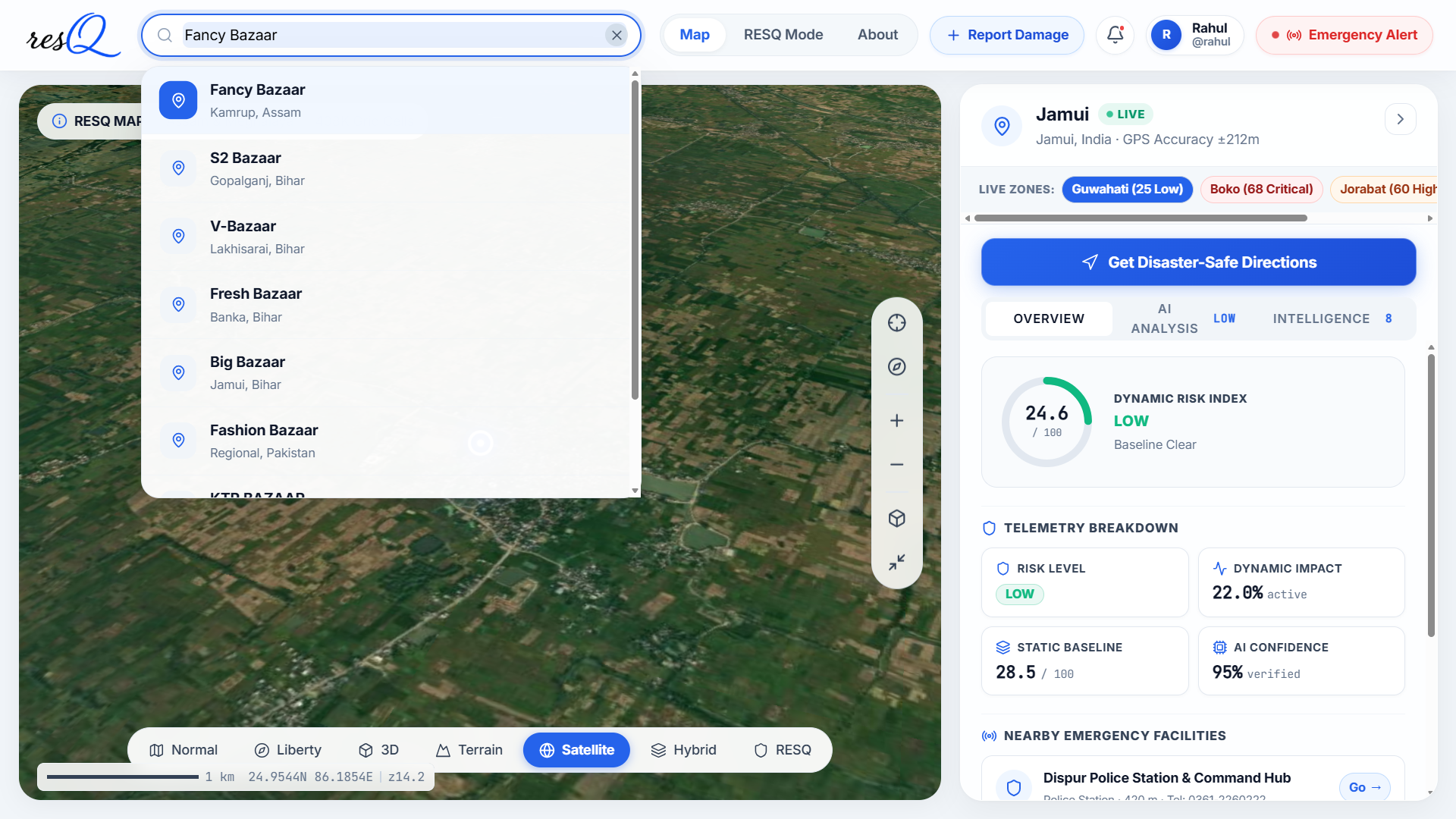
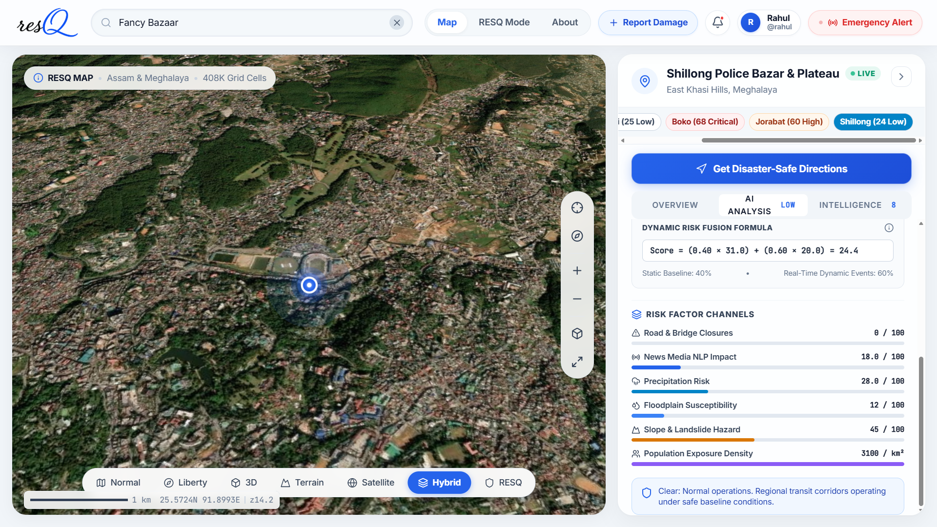
RESQ analyzes road networks and disaster hazards to identify safer evacuation routes. It detects hazards such as floods and landslides, dynamically reroutes users around affected areas, and provides 3D visualization for better situational awareness and emergency decision-making.
How we built it
We built RESQ using PostGIS for spatial analysis and a 500m grid to map disaster-prone areas. We integrated OpenStreetMap, PMGSY, flood, and landslide datasets, then used Valhalla for route calculation and dynamic rerouting. A 3D visualization layer helps users understand terrain, hazards, and evacuation paths.
Challenges we ran into
- Integrating multiple geospatial datasets with different formats, resolutions, and coordinate systems.
- Processing a large 500m spatial grid efficiently without slowing down route calculations.
- Detecting when hazards intersect with active routes and triggering reliable dynamic rerouting.
- Balancing route safety, distance, and travel time while generating practical evacuation paths.
- Visualizing complex terrain, hazards, and routes together in an intuitive 3D interface. ## Accomplishments that we're proud of
- Built a working disaster-aware evacuation routing system combining roads, terrain, flood, and landslide data.
- Processed a 500m spatial grid covering 408,986 cells for hazard-aware analysis.
- Implemented dynamic rerouting when hazards affect the planned route.
- Achieved fast route calculation with a ~381 ms average in our Guwahati–Shillong benchmark.
- Added 3D terrain and route visualization to improve situational awareness.
- Successfully integrated multiple geospatial data sources into a single decision-support system. ## What we learned
- Learned how to work with real-world geospatial datasets and different coordinate systems.
- Gained practical experience with PostGIS and spatial analysis at large scale.
- Learned how to combine hazard data with road networks for safer routing.
- Understood the challenges of implementing dynamic rerouting during changing disaster conditions.
- Improved our skills in route optimization, geospatial visualization, and 3D mapping.
- Most importantly, learned how to turn a complex disaster-management problem into a practical, user-focused solution. ## What's next for RESQ
- Integrate real-time disaster and weather data for continuously updated hazard information.
- Add AI-based risk prediction to identify potentially dangerous road segments before they become critical.
- Extend RESQ to support live emergency alerts and responder coordination.
- Improve routing by considering road capacity, traffic, terrain, and vehicle accessibility.
- Expand coverage to more disaster-prone regions across India.
- Develop a lightweight mobile application for citizens and emergency responders.
Built With
- 3d
- computing
- disaster
- dynamic
- fastapi
- flood
- geojson
- geospatial
- javascript
- landslide
- management
- openstreetmap
- pmgsy
- postgis
- postgresql
- python
- react
- remote
- rerouting
- routing
- sensing
- three.js
- valhalla
- visualization

Log in or sign up for Devpost to join the conversation.