Devpost
Participate in our public hackathons
Devpost for Teams
Access your company's private hackathons
Grow your developer ecosystem and promote your platform
Drive innovation, collaboration, and retention within your organization
By use case
Blog
Insights into hackathon planning and participation
Customer stories
Inspiration from peers and other industry leaders
Planning guides
Best practices for planning online and in-person hackathons
Webinars & events
Upcoming events and on-demand recordings
Help desk
Common questions and support documentation
Sort by:
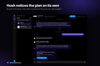
Friendships rarely end in one fight. They fade through small unspoken frictions. Hush quietly resolves them in private, so every plan keeps your group together.
Good Company. Little Adventures.
Turn New York into a living trading floor: companies, capital, dating and meeting people, all on one map.
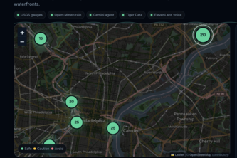
Know before you go: live sewage-overflow and river-safety risk for Philly's waterfronts.
Is my bus actually coming? Ghost Bus tracks buses across South Florida, flags ghost buses and bunching, and tells you exactly when to leave.
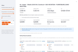
Finds where two utilities' transmission plans meet, the odds they really happen together, and what to move. Just ask Geo.
MONITOR is an all-in-one intelligence command center that turns scattered data into live, actionable insight—helping teams detect risks, investigate faster, visualize patterns and act with confidence.
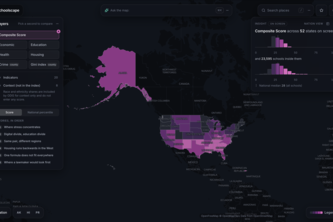
Schoolscape maps community difficulties around 23,595 US public high schools. Ask the map in plain English and see where hardship hits hardest, and why the fix looks different from place to place.
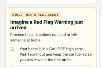
FirePath turns a Glendale address into a personalized emergency plan, combining local hazard maps, household needs, weather alerts, and City permit guidance in one place.
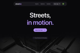
Streetlab optimizes streets and compares traffic predictions. Its 3D Sandbox helps dispatchers simulate emergencies and plan evacuation routes, roadblocks, and emergency access.
After turbulent times, the help people need is often a few blocks away. Mesh uses AI to match each request to the right neighbor, whether it be a chainsaw, a generator, or a wellness check.
A shared calendar and operations desk for Houston's volunteer cleanups. Groups post once, learn whose land it is, request supplies and dumpsters, and file a report that feeds citywide totals.
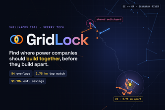
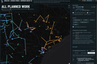
GridLock turns utility documents (PDF's) into a live GIS map, ranking where Georgia Power & Dominion SC build near each other at the same time, and shows what sharing crews could save.
Budget-first food discovery. Diners find meals near them that fit their budget, ranked cheapest-first. Restaurants manage menus, orders, and subscriptions via RevenueCat.
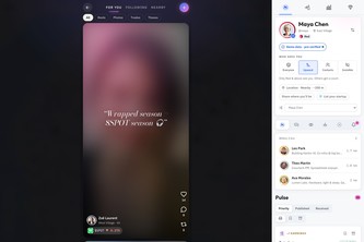
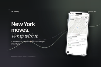
Wrap helps New Yorkers navigate parades, protests, and street closures. It finds routes around disruptions and suggests when to switch if transit runs late.
Neighboring utilities plan grid projects separately, and customers pay for duplication. GridNeighbors scans public plans, finds overlaps in place and time, and estimates coordination savings.
Anole helps Houston neighbours create community maps to document places, conditions and solutions, from cooler spaces and accessible facilities to wildlife sightings and maintenance needs.
A live map and timeline that shows where Georgia Power and Dominion Energy SC will build near each other at the same time, so they can share crews, outages and costs.
Uncloak makes complex data center and power infrastructure data easy to see and use for everyone. We help communities see the impact of data centers nearby and serve as a source of transparency.
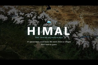
A live 3D satellite twin of the most hazardous glacial lakes in Nepal, which monitors melting and rainfall in real time and models outburst floods, ticking off the minutes each village has to evacuate
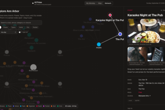
Ann Arbor's events, road closures and Council items live in a dozen feeds. A2 Pulse pulls them into one Jac graph and reads you a one-minute brief of what touches your week.
Hey, I just ate this. And this is crazy. I'm feeling sick now. Recall me maybe!
Find the coolest way to get to your destination 😎
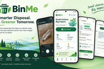
BinMe is an AI-powered mobile app that instantly classifies waste using camera vision, locates nearby recycling hubs, and tracks your eco-impact for a cleaner planet.