Devpost
Participate in our public hackathons
Devpost for Teams
Access your company's private hackathons
Grow your developer ecosystem and promote your platform
Drive innovation, collaboration, and retention within your organization
By use case
Blog
Insights into hackathon planning and participation
Customer stories
Inspiration from peers and other industry leaders
Planning guides
Best practices for planning online and in-person hackathons
Webinars & events
Upcoming events and on-demand recordings
Help desk
Common questions and support documentation
Sort by:
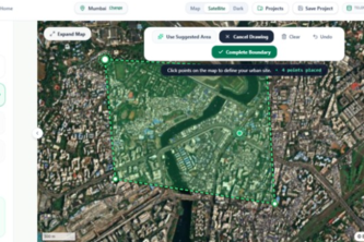
An AI-powered urban ecology compiler that transforms real-world geospatial data and city goals into optimized, visual plans for greener, cooler, more resilient cities.
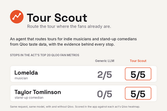
An agent that routes tours for indie musicians and stand-up comedians from Qloo taste data: where fans over-index, a realistic opener, and the evidence behind every stop.
Mapping Flood Impact
See who gets cut off before a hawker centre closes. HawkerReach maps which seniors lose walkable access, which centres get overloaded, and where a temporary market helps most.
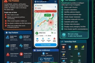
RescueRoute AI turns disaster intelligence into safer, smarter navigation decisions worldwide.
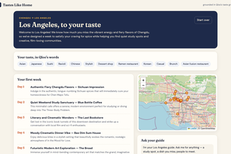
New city, same you. An agent that turns the spots, music, films and books you love back home into places you'll love where you live now, each pick explained by Qloo's taste graph.
Physics-gated multimodal satellite intelligence for Himalayan flood damage and community isolation.
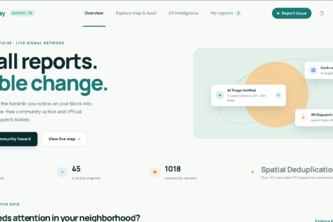
An interactive community hazard tracker that uses AI triage and spatial deduplication to turn neighbor reports into verified, official 311 city dispatch tickets.
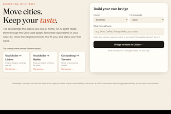
Move cities, keep your taste. An AI agent reads the places you love through the Qloo taste graph, finds their equivalents in your new city, picks your neighbourhood and plans your first week.
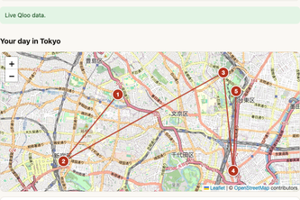
A one-day plan for Tokyo or Kyoto built from your favorite artists, films and foods, with the Qloo taste signals that put each stop there.
See the Flood. Map the Risk. Act Smarter.
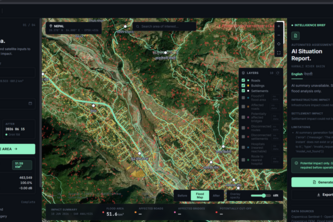
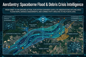
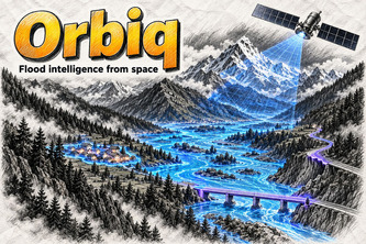
From orbit to on-ground action, our system converts satellite observations into reliable flood maps, damage assessments, and connectivity analysis to help save lives during disasters.
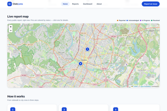
See a problem in your neighborhood? Report it in 30 seconds — AI triages it, routes it to the right department, and puts it on a public map until it's fixed.
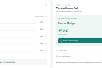
Urban Mobility Resilience Simulator When one link fails, how does the whole city change? ResiliRoute is an educational civic-tech application for understanding cascading transportation failures
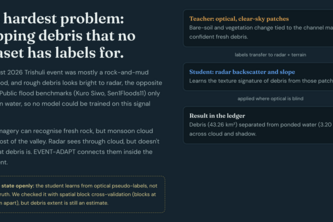
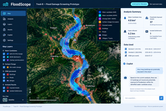
Maps flood damage from satellite radar and optical images, finds cut-off villages, and answers rescuers in English and Nepali using only numbers from its maps.
Nearby isn't the same as reachable. LinkAge maps step-free routes from HDB blocks to AACs and polyclinics, shows where journeys break, and recommends shuttle stops for seniors who can't get there.
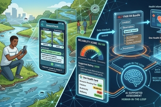
An AI second pair of eyes for citizen stream assessments. It explains what it sees; the citizen decides.
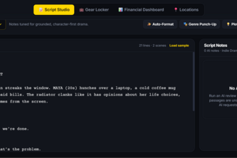
Greenlit AI is an AI-powered production planner built specifically for indie filmmakers to help you manage your budget, polish your script, and find the perfect filming locations.
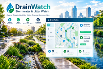
A community action platform for residents and volunteers to report drainage and litter issues, confirm conditions, follow progress, and receive weather-aware guidance for healthier urban waterways.
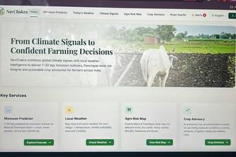
From Climate Signals to Confident Farming Decisions
Turn citizen water pollution reports into evidence-backed investigations and expert-ready recommendations.
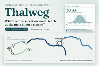
Volunteers' river reports disagree. Thalweg learns who's reliable, shows where uncertainty lives in a real stream, and picks the one observation that would teach us the most.
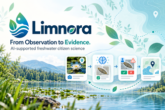
Limnora turns uncertain freshwater observations into explainable AI evidence, human review, and focused revisits—without replacing human judgment.
After the storm, sample what matters