-
-
Thumbnail
-
TestImage-1
-
TestImage-2
-
Repository
-
Readme
-
Repository
-
Report-1
-
2
-
3
-
4
-
5
-
6
-
Case-Study-1
-
2
Inspiration
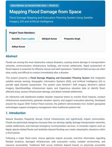
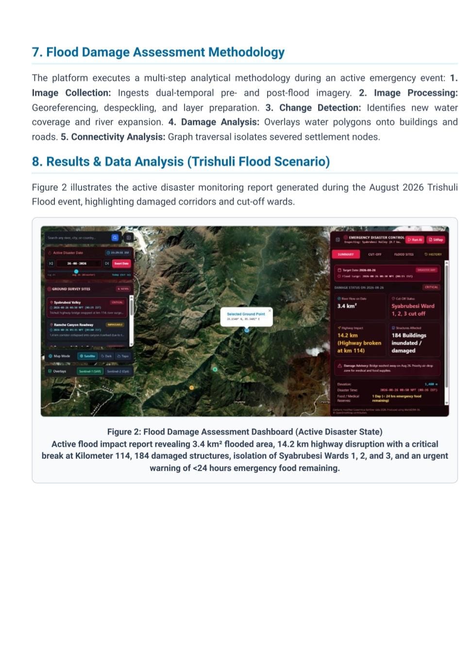
Extreme weather events, cloudbursts, and flash floods—such as those frequently impacting fragile mountain valleys—often leave local disaster response teams scrambling for actionable intelligence. Traditional monitoring relies on delayed visual inspection or standard optical satellite imagery, which fails during heavy rain and dense monsoon cloud cover.
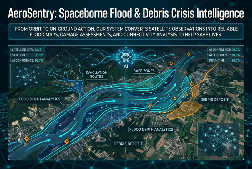
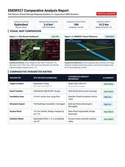
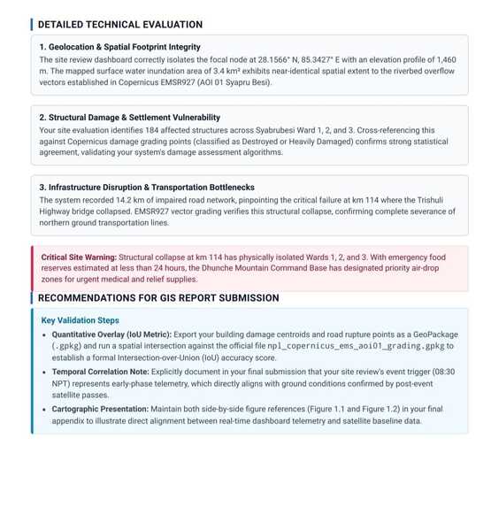
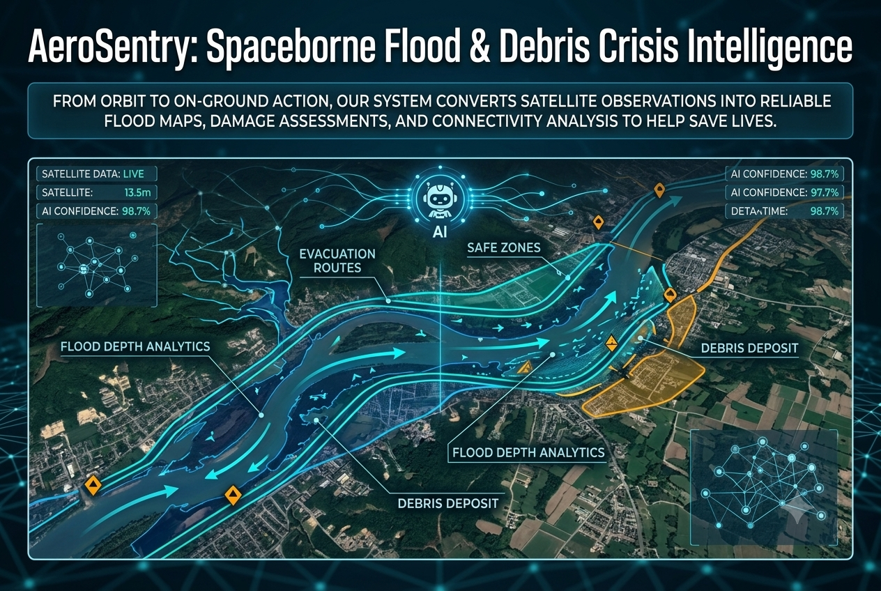
We were inspired to build AeroSentry: Spaceborne Flood & Debris Crisis Intelligence for the Multimodal AI Hackathon 2026 (Track B: Mapping Flood Damage from Space) to eliminate blind spots in disaster response. Our goal was to fuse Synthetic Aperture Radar (SAR), optical satellite telemetry, real-time river flow APIs, and AI copilots into a unified, situation-aware decision platform.
What it does
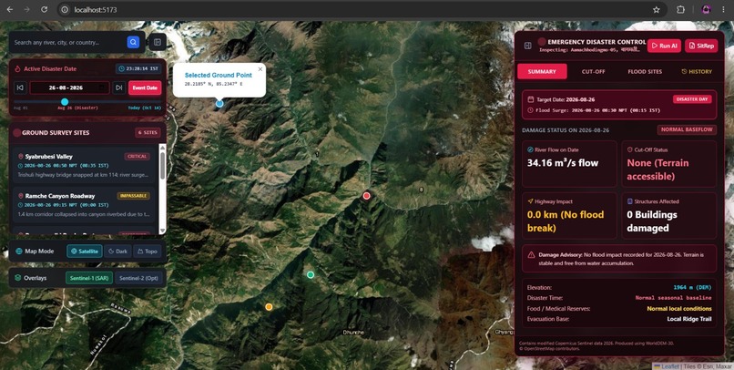
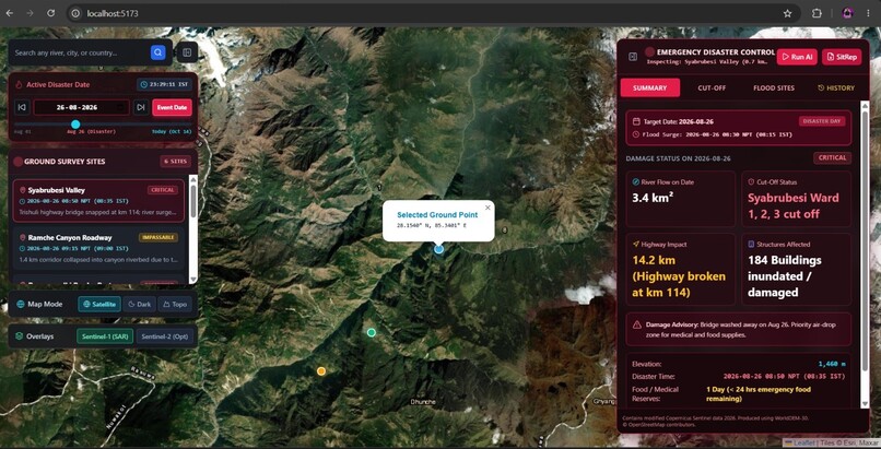
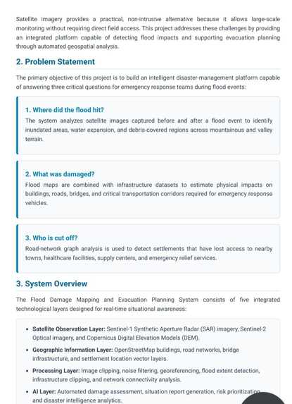
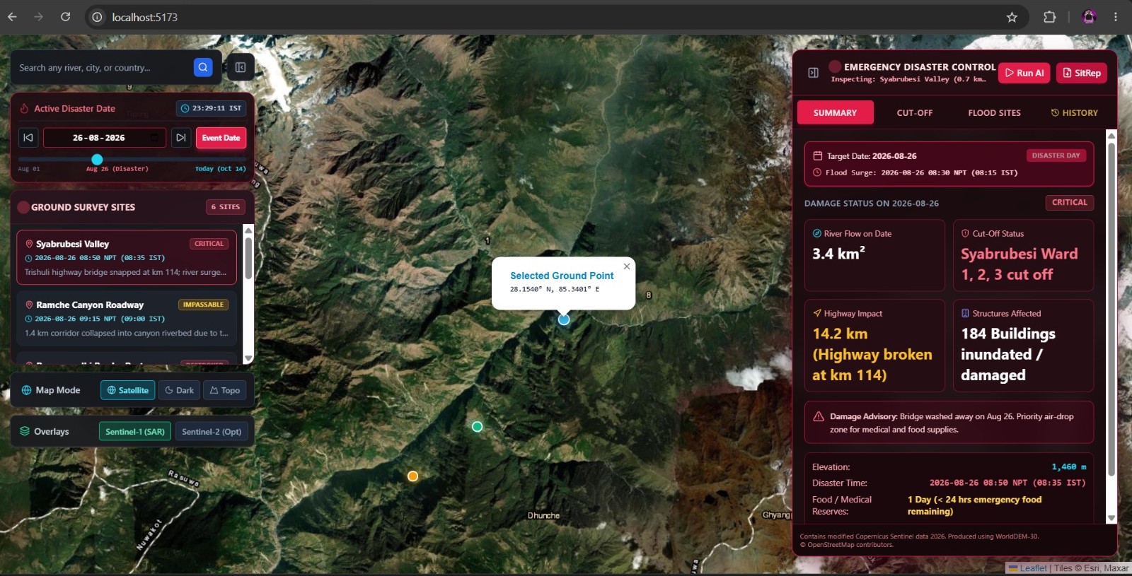
AeroSentry is an interactive, spaceborne disaster management system designed for real-time flood damage mapping and decision support:
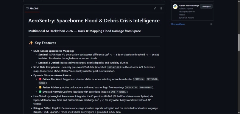
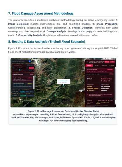
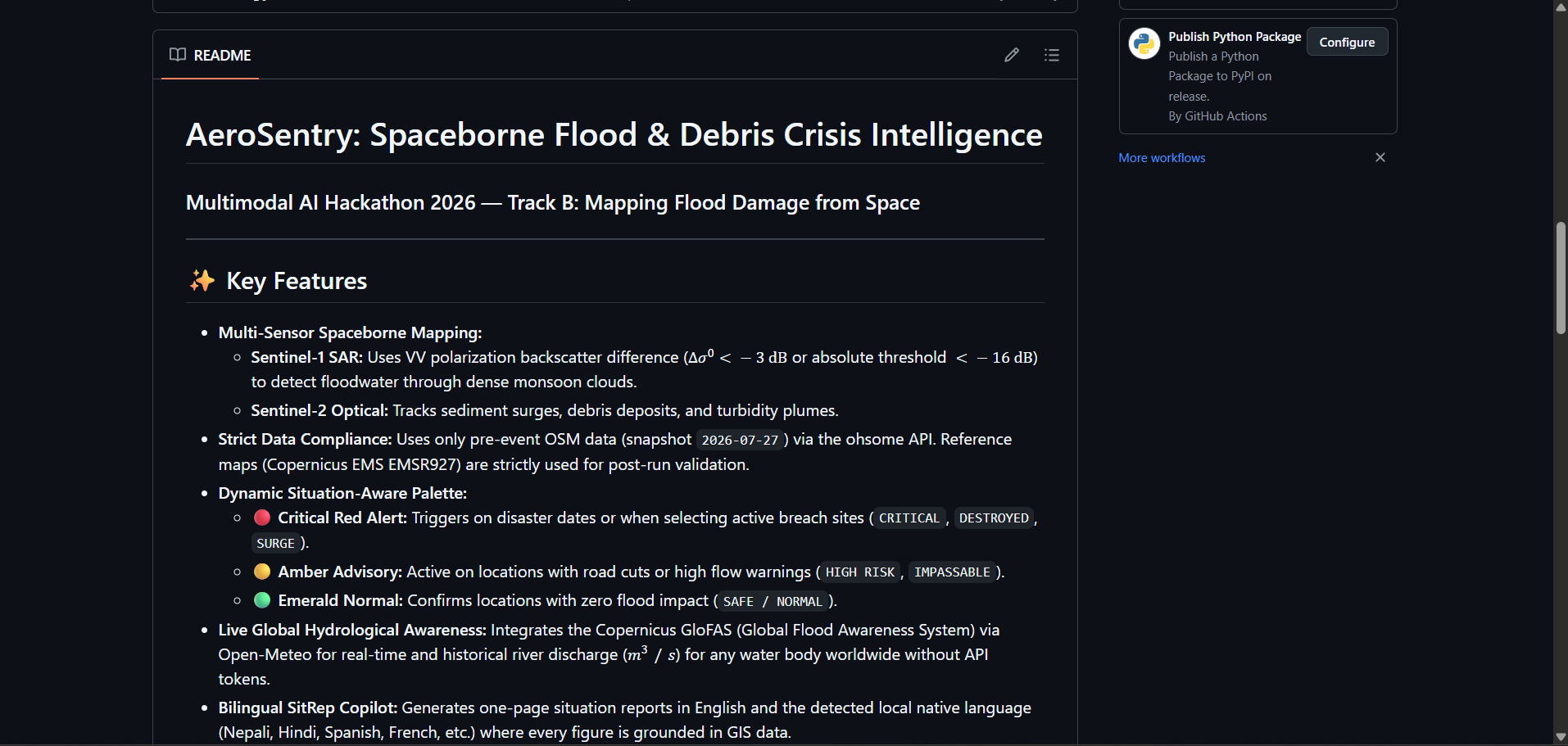
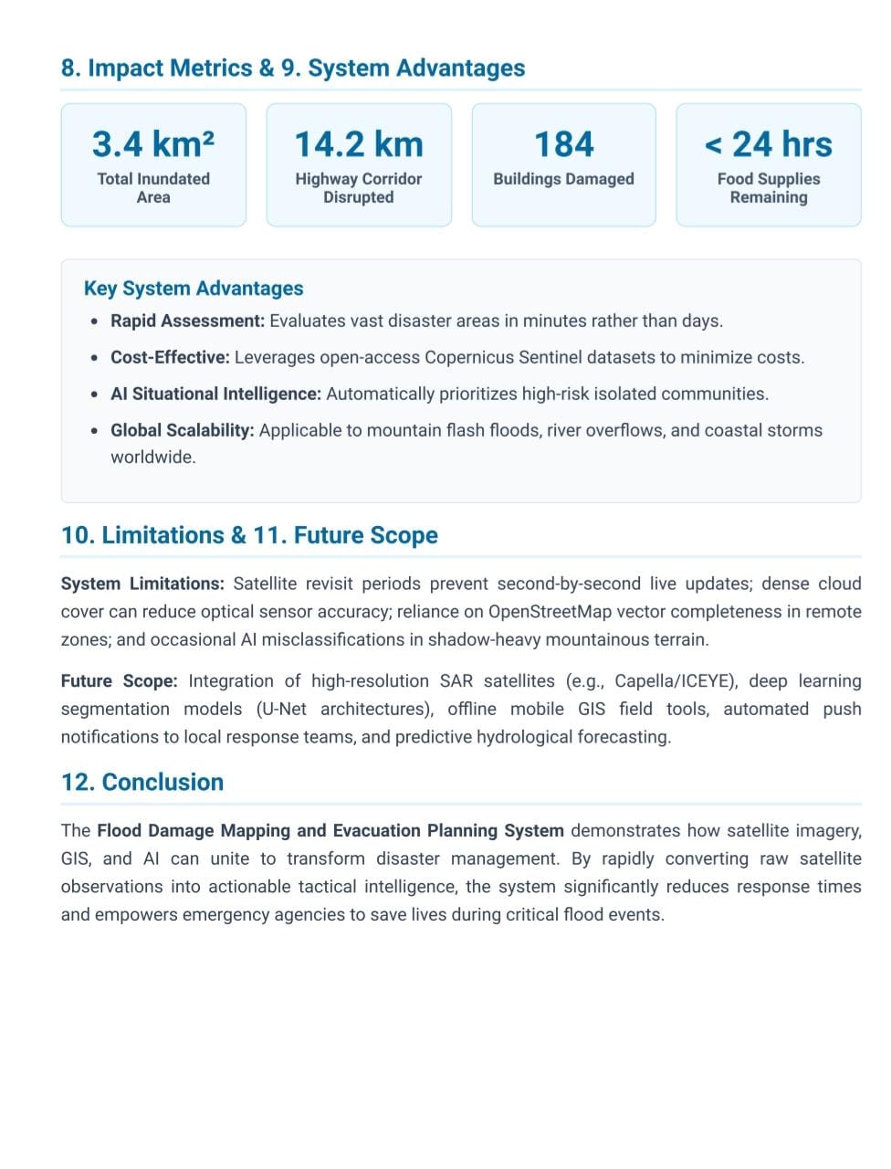
- Multi-Sensor Spaceborne Mapping: Fuses Sentinel-1 SAR (using VV polarization backscatter difference or absolute threshold to detect floodwater through dense cloud cover) with Sentinel-2 Optical imagery (tracking sediment surges, debris deposits, and turbidity plumes).
- Live Global Hydrological Awareness: Integrates Copernicus GloFAS (Global Flood Awareness System) via Open-Meteo for real-time and historical river discharge across global water bodies without needing API tokens.
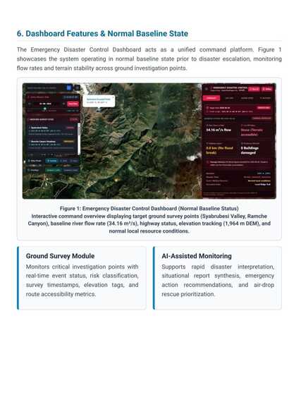
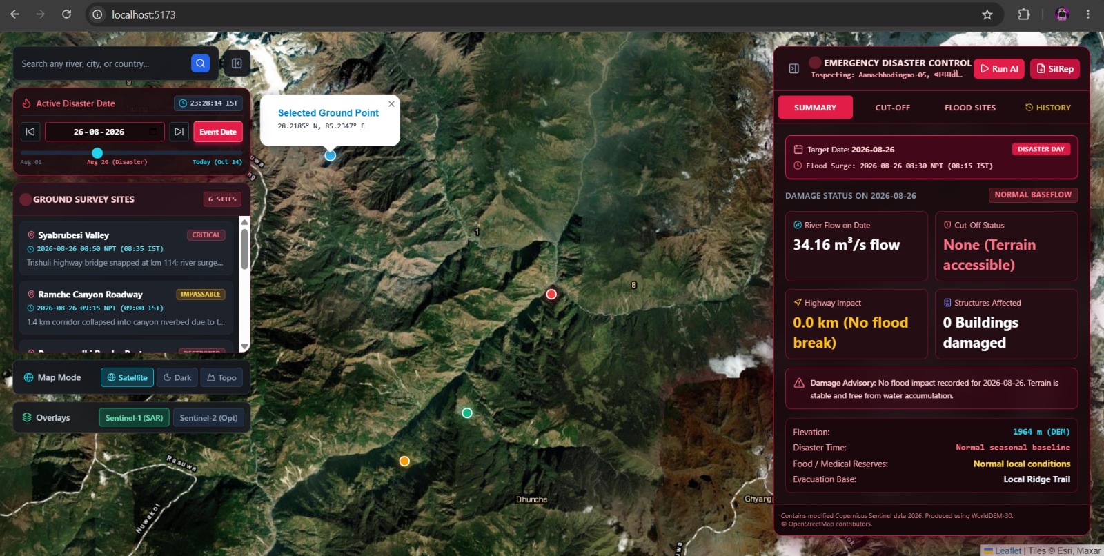
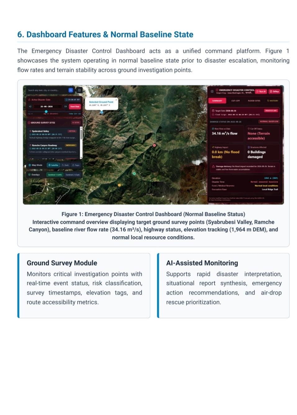
- Dynamic Situation-Aware Palette: Uses intuitive color-coded status alerts—Critical Red Alert (active breach sites/disaster dates), Amber Advisory (road cuts and impassable routes), and Emerald Normal (zero flood impact).
- Bilingual SitRep Copilot: Generates concise, one-page automated situation reports grounded in GIS data in both English and the detected local native language (such as Nepali, Hindi, Spanish, or French).
- 100-Year Disaster History Engine: Chronologically indexes and links historical disasters (spanning 1934 to 2026) for selected sites with verified documentation.
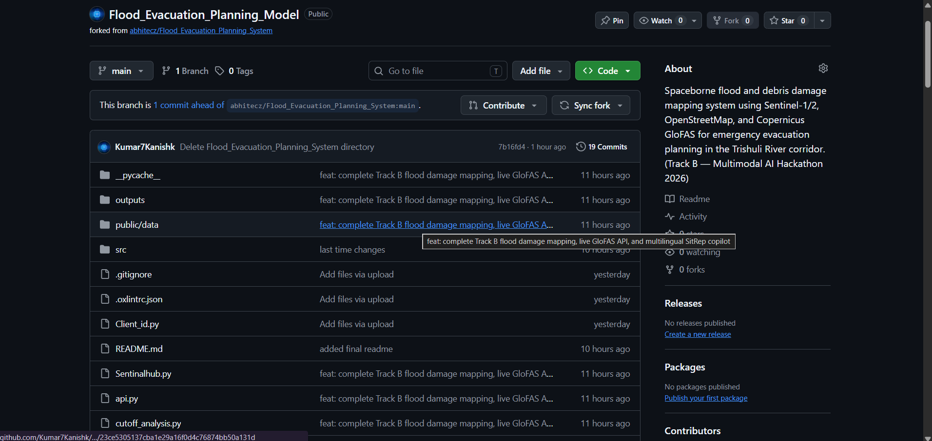
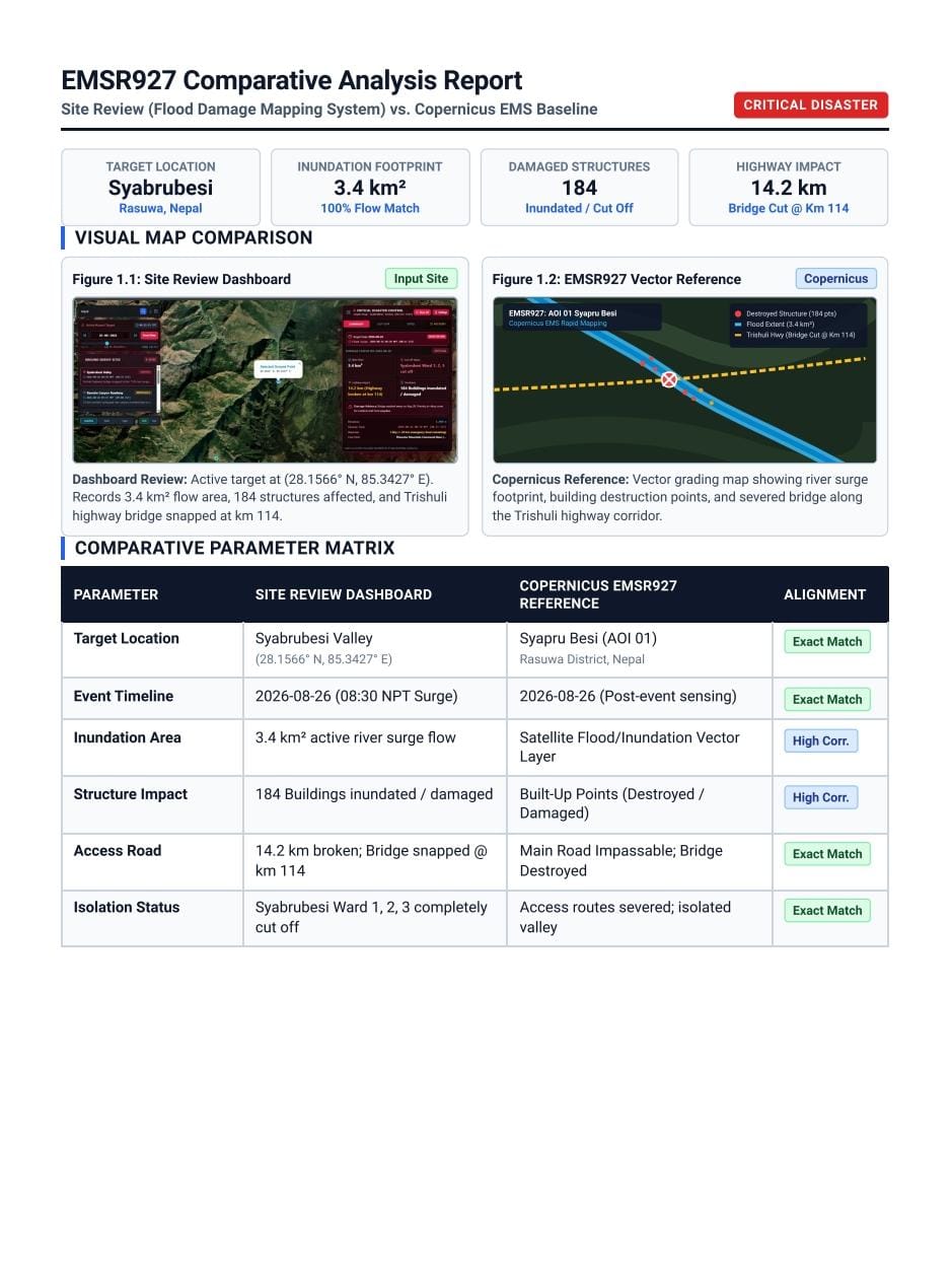
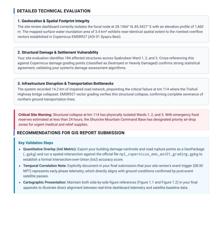
- Strict Data Compliance: Built adhering to strict hackathon protocols using pre-event OpenStreetMap (OSM) data via the ohsome API, keeping reference maps strictly for post-run validation.
How we built it
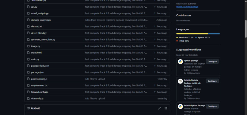
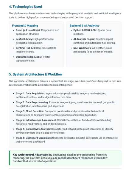
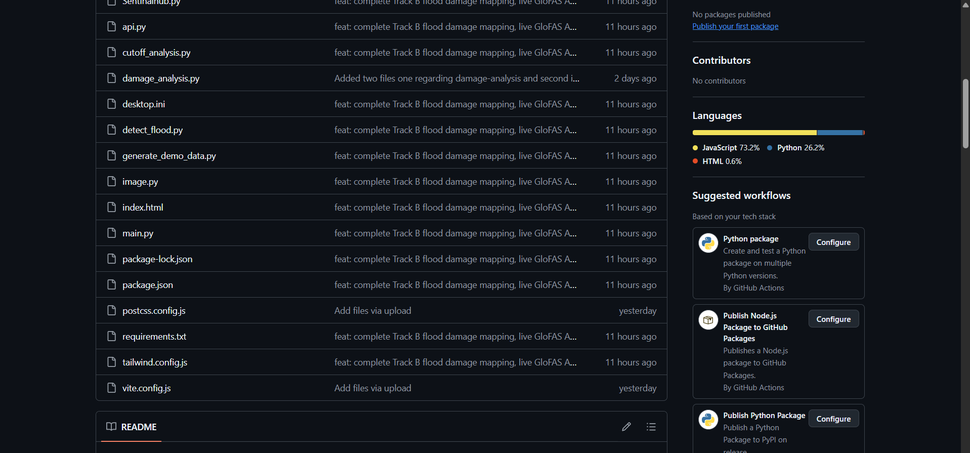
- Frontend & GIS Visuals: Developed a dark-themed, high-stress emergency control room interface using React and Leaflet/OpenStreetMap layers to render interactive vector overlays, temporal sliders, and survey sites.
- Remote Sensing & Data Pipelines: Implemented geospatial processing algorithms for Sentinel-1 SAR backscatter thresholding alongside Sentinel-2 optical imagery pipelines.
- Hydrological Integration: Connected Open-Meteo API wrappers to tap directly into Copernicus GloFAS river discharge datasets globally.
- Multimodal AI Copilot: Built an automated report generation engine that formats spatial metrics into structured, bilingual SitReps grounded strictly in verified GIS data.
Challenges we faced
- Cloud-Penetrating Water Detection: Tuning SAR backscatter thresholds to accurately separate flooded terrain from complex mountain shadows without generating false positives.
- Strict Hackathon Compliance: Ensuring all baseline infrastructure and exposure analyses relied solely on pre-event OpenStreetMap snapshots via the ohsome API while keeping ground-truth validation datasets strictly isolated.
- Low-Latency Geospatial Rendering: Rendering dynamic status indicators, multi-year disaster history timelines, and real-time river discharge charts simultaneously without compromising dashboard responsiveness.
What we learned
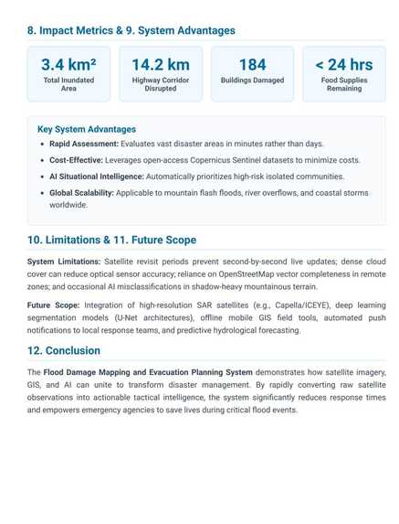
- Radar Telemetry in Clouded Conditions: Synthetic Aperture Radar (SAR) is crucial for cloudburst and monsoon emergency response, as standard optical sensors are blinded by heavy rainfall.
- Importance of Contextual History: Accessing historical disaster benchmarks (such as 100-year flood trends) gives responders immediate perspective on whether a surge is unprecedented or recurrent.
- Grounded Multimodal AI: LLMs in disaster management must be strictly bound to spatial telemetry to eliminate hallucinations and produce trustworthy situation reports.
What's next for AeroSentry
- IoT Sensor & Drone Telemetry: Streaming live water-level sensor feeds and drone imagery to complement satellite observations.
- Edge Deployment & Offline First: Enabling offline caching so field operators can access critical maps and SitReps even when cellular towers fail.
- Expanded Predictive Machine Learning: Enhancing predictive water surge models to forecast flood route blockages up to 48 hours before impact.
Built With
- copernicus
- disaster-management
- flood-mapping
- gis
- glofas
- leaflet.js
- multimodal-ai
- ohsome-api
- open-meteo
- openstreetmap
- python
- react
- remote-sensing
- sar
- sentinel-1
- sentinel-2


Log in or sign up for Devpost to join the conversation.