About the Project
FloodScope was inspired by the challenge of quickly understanding the impact of floods in difficult and remote regions. Traditional flood monitoring often depends on continuous human observation, while satellite data and map information can provide valuable evidence over large areas.
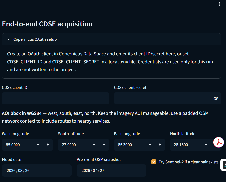
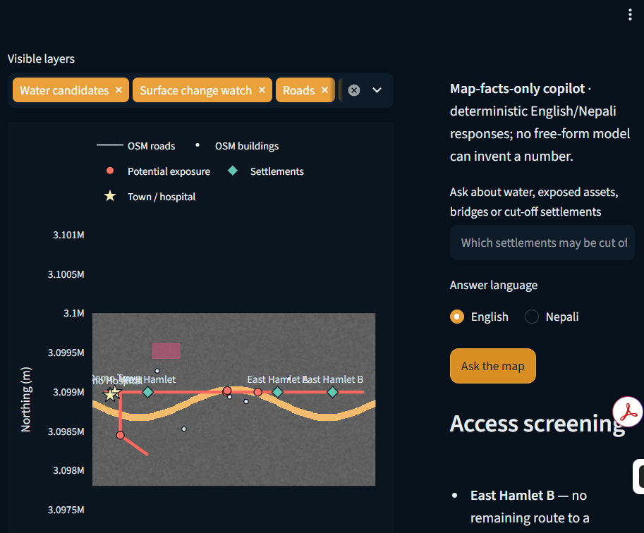
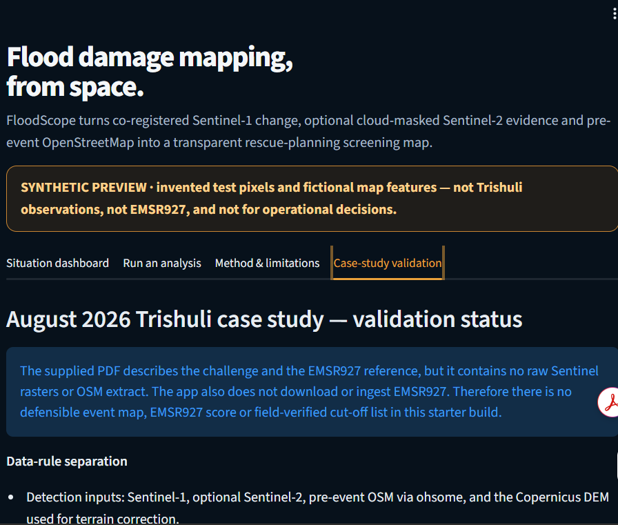
We developed FloodScope as a transparent flood-damage screening prototype that combines Sentinel-1 SAR imagery, optional Sentinel-2 optical imagery, and pre-event OpenStreetMap data. The system identifies potential water expansion, highlights potentially exposed buildings and infrastructure, and checks whether settlements may become isolated due to affected road connections.
Through this project, we learned how satellite imagery, geospatial data, image processing, and graph-based analysis can be combined to build a practical disaster-response tool. We also learned the importance of validating data, clearly communicating uncertainty, and separating potential exposure from confirmed damage.
The project taught us that an effective AI-based solution is not only about producing results, but also about making those results transparent, auditable, and responsible.
Built With
- analysis
- copernicus
- disaster
- geojson
- geospatial
- geotiff
- gis
- hub
- imagery
- management
- mapping
- ndwi
- openstreetmap
- osm
- python
- raster
- sar
- satellite
- sensing
- sentinel
- sentinel-1
- sentinel-2
- spatial
- streamlit
- visualization

Log in or sign up for Devpost to join the conversation.