Devpost
Participate in our public hackathons
Devpost for Teams
Access your company's private hackathons
Grow your developer ecosystem and promote your platform
Drive innovation, collaboration, and retention within your organization
By use case
Blog
Insights into hackathon planning and participation
Customer stories
Inspiration from peers and other industry leaders
Planning guides
Best practices for planning online and in-person hackathons
Webinars & events
Upcoming events and on-demand recordings
Help desk
Common questions and support documentation
Sort by:
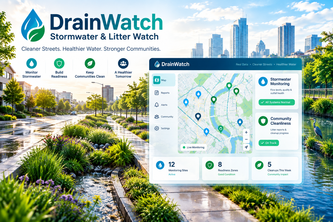
A community action platform for residents and volunteers to report drainage and litter issues, confirm conditions, follow progress, and receive weather-aware guidance for healthier urban waterways.
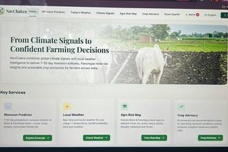
From Climate Signals to Confident Farming Decisions
Turn citizen water pollution reports into evidence-backed investigations and expert-ready recommendations.
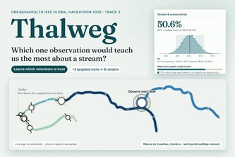
Volunteers' river reports disagree. Thalweg learns who's reliable, shows where uncertainty lives in a real stream, and picks the one observation that would teach us the most.
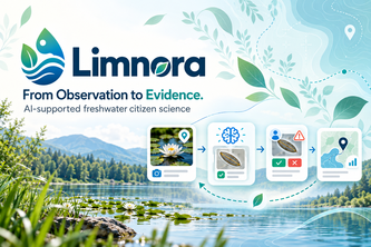
Limnora turns uncertain freshwater observations into explainable AI evidence, human review, and focused revisits—without replacing human judgment.
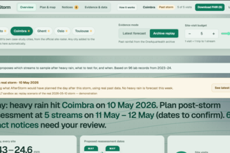
After the storm, sample what matters
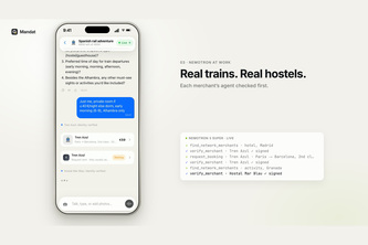
Give an AI agent a mission, a budget and your rules, as you would a trusted person. NVIDIA Nemotron plans, negotiates and books on Nebius Token Factory; the code enforces every euro.
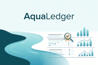
AquaLedger answers water questions in 26 languages using only real EEA data. Every number is checked against its source, or the answer is withheld. Built for the OneAquaHealth challenge.
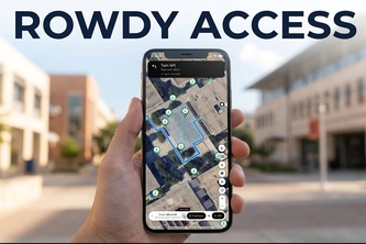
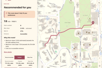
Accessible walking directions for UTSA's two campuses: community-mapped ramps and barriers, AI photo detection, and step-free voice navigation.
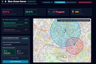
Routes vulnerable European citizens along cooling urban streams during extreme heatwaves while crowdsourcing freshwater health for municipal biosecurity and public works dispatch.
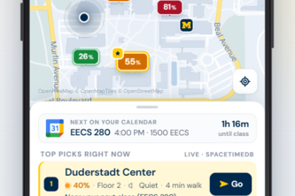
eMbark helps students find the best place to study between classes using their schedule, location, walking time, noise, and live occupancy—so they save time and always know where to go.
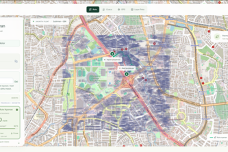
Flux predicts waste problems before they happen and simulates the most sustainable way to respond.
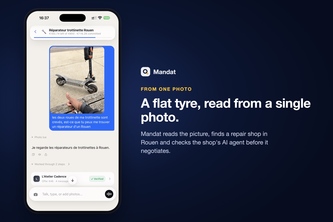
Give your AI a mission, a budget and rules, like you would a trusted person. Mandat finds, books and pays with PayPal: deposits held, not charged, and every limit enforced by code.
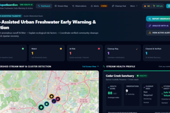
AI-Assisted Urban Freshwater Early Warning & Action
Menentukan arah, menciptakan rute ternyaman
Stay active. Take the better way.
We leverage real campus GIS, lidar and live reports so that maps finally route around how you move. Many people live with access restraints, but in 100 years, every map should know the way for them.
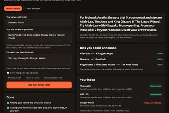
Book the acts your room's crowd already loves: Booker uses Qloo's taste graph to find acts that fit a venue's crowd and size, score the pitches in its inbox, and route tours to the rooms that fit.
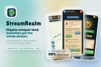
Players conquer land. Scientists get the whole stream.
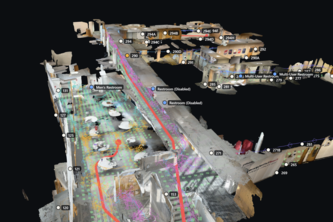
AR maps for commercial spaces, built autonomously from floor plans and a single phone scan.
TerraResQ maps floods with satellite imagery and geospatial AI, estimates impacts on roads/buildings, and flags cut-off settlements to help responders prioritize relief and plan routes in emergencies.
Creature hunt across Cornell.
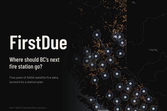
Where should BC base its wildfire trucks? FirstDue turns five years of NASA satellite fire data into a station plan, and shows what no station can reach.
A flood is not a polygon, it is a severed graph. Himalayan post-flood access intelligence pairing terrain-flattened Sentinel-1 SAR with road topology and an AST-guarded copilot.