Devpost
Participate in our public hackathons
Devpost for Teams
Access your company's private hackathons
Grow your developer ecosystem and promote your platform
Drive innovation, collaboration, and retention within your organization
By use case
Blog
Insights into hackathon planning and participation
Customer stories
Inspiration from peers and other industry leaders
Planning guides
Best practices for planning online and in-person hackathons
Webinars & events
Upcoming events and on-demand recordings
Help desk
Common questions and support documentation
Sort by:
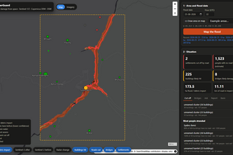
Maps flood damage and cut-off villages from free Sentinel-1/2 satellite data in minutes, with a fact-checked English/Nepali copilot that won't state a number the maps can't back up.
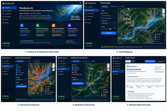
AI-powered flood damage mapping and infrastructure impact analysis using satellite imagery and geospatial data.
DengueRadar forecasts which Singapore neighbourhoods will see dengue clusters 2 to 4 weeks ahead, prioritising areas with the most seniors and children so inspectors and residents act early.
Ask your city anything — and see the receipts. CivicLens answers zoning, permit, flood, and 311 questions with verified open data and zero hallucinations.
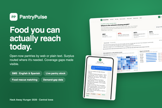
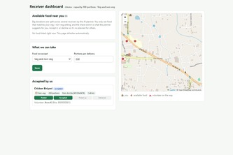
Food you can actually reach today. Real-time pantry access by web or text, and the demand data Iowa's food network has never had.
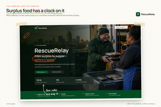
Rescue Relay gets extra food to people who need it, before it goes bad.
An explainable AI-powered disaster preparedness platform that uses knowledge graphs and agentic AI to deliver personalized learning, risk insights, and emergency response guidance.
AI-powered first-response guidance that helps you know what to do when a health concern happens.
Our project connects surplus food from events with nearby people and organizations in need, intelligently ranking donations by distance, freshness, and capacity.
Snap a leaf, speak in your language, and get a 7-day crop-risk forecast and action plan before disease strikes. Voice-first, works offline, and builds a village-level outbreak map.
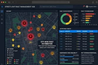
Smart Street Lights, Faster Fault Reporting, Better Maintenance.
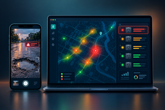
AI that rates pothole severity from a photo and predicts which roads will fail after rain, giving cities a ranked repair list instead of a pile of complaints.
AI climate witness for farmers: warns before floods and storms in local language, then turns a field photo into geotagged, timestamped damage evidence for crop insurance claims.
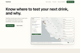
Tells a coffee chain which stores to test a new drink in, and why, from local demand for the drink's ingredients in Qloo's taste data.
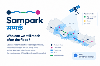
Satellite radar maps flood damage in Nepal, finds which villages are cut off by road, and ranks the repairs that reconnect the most people. With a Nepali-speaking copilot.
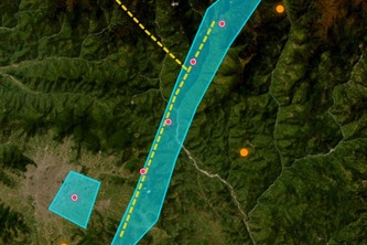
HydroViz — Himalayan Flood Response Prototype
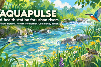
I built AquaPulse so people can report river pollution with a photo, see nearby reports on a map, and join local cleanup activities.
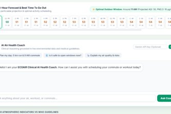
ECOAIR is an AI-powered urban air intelligence platform that predicts pollution, simulates interventions, and turns complex air-quality data into actionable decisions for healthier cities
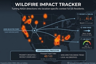
Turning live satellite fire detections into location-specific wildfire impact insights.
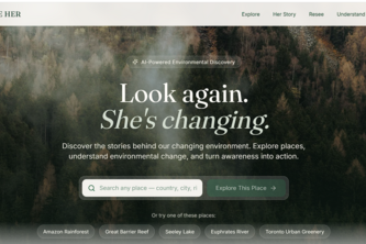
Look again. She's changing. An AI-powered platform helping people explore environmental challenges worldwide and discover meaningful ways to respond.
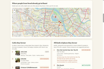
What visitors from Seoul, Tokyo or Sydney favour in your Vietnamese city — an agent grounded in Qloo's taste graph, with every claim cited.
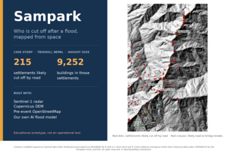
Give it an area and a flood date. Using free Sentinel radar, our own AI flood model and pre-event OpenStreetMap, Sampark maps where the flood hit, what was damaged and who is likely cut off.
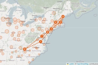
Type an artist and a home city. Fanroute asks Qloo where that artist's audience over-indexes, routes a van loop through those cities, and finds the rooms, local acts and poster spots at every stop.
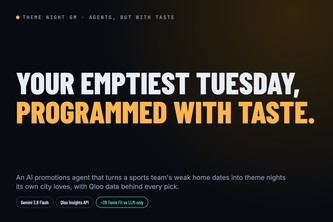
An AI promotions agent that turns a sports team's weakest home dates into theme nights its own city loves. Built on Qloo taste data, it beats an LLM-only plan by 28 Taste Fit points.