Devpost
Participate in our public hackathons
Devpost for Teams
Access your company's private hackathons
Grow your developer ecosystem and promote your platform
Drive innovation, collaboration, and retention within your organization
By use case
Blog
Insights into hackathon planning and participation
Customer stories
Inspiration from peers and other industry leaders
Planning guides
Best practices for planning online and in-person hackathons
Webinars & events
Upcoming events and on-demand recordings
Help desk
Common questions and support documentation
Sort by:
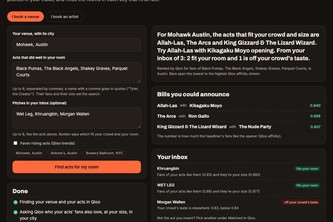
Book the acts your room's crowd already loves: Booker uses Qloo's taste graph to find acts that fit a venue's crowd and size, score the pitches in its inbox, and route tours to the rooms that fit.
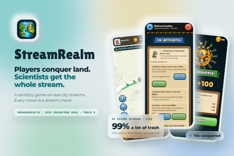
Players conquer land. Scientists get the whole stream.
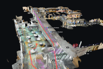
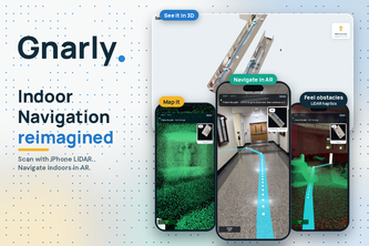
AR maps for commercial spaces, built autonomously from floor plans and a single phone scan.
TerraResQ maps floods with satellite imagery and geospatial AI, estimates impacts on roads/buildings, and flags cut-off settlements to help responders prioritize relief and plan routes in emergencies.
Creature hunt across Cornell.
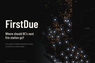
Where should BC base its wildfire trucks? FirstDue turns five years of NASA satellite fire data into a station plan, and shows what no station can reach.
A flood is not a polygon, it is a severed graph. Himalayan post-flood access intelligence pairing terrain-flattened Sentinel-1 SAR with road topology and an AST-guarded copilot.
Reducing your carbon footprint by carpooling with friends!
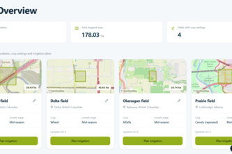
Precise irrigation, simplified.
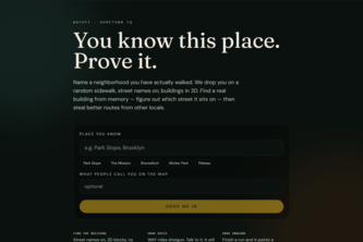
Get dropped on a random sidewalk in a place you know. Street names on, no pin. Find the building from memory — then steal better routes from other locals.
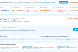
Maps satellite-detected flooding alongside roads, hospitals, and settlements, with access analysis, supporting evidence, and uncertainty visible in one report.
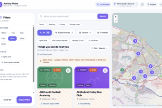
Findly finds real local activities, events, sports, and classes near you, verifies the information, and lets you filter by time open, distance, and category to quickly find something to do
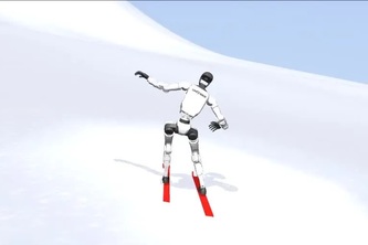
We got a humanoid to ski! Humanoids lack strong data for real world tasks, so we built fun crowd-sourcing data collection methods to train humanoids to ski and hike to complete “rescue” missions.
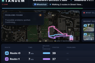
Maps tell you how long. Tandem tells you if you can. Text it your route and it scouts every path for stairs, missing ramps and steep hills, then texts back the one you can take.
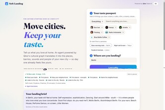
Move cities, keep your taste. Powered by Qloo.
Navigation that turns every walk into an adventure: a squad of pets scouts real landmarks, guides you there, and battles rivals to claim the places you visit.
Navigation still makes you stare at a map. What if it came to you instead?
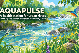
I built AquaPulse so people can report river pollution with a photo, see nearby reports on a map, and join local cleanup activities.
Scentline tells search teams where to send air-scent dogs, by modelling how wind carries a missing person's scent across real terrain.
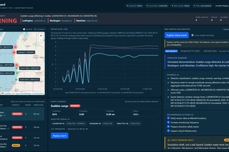
Real-time seiche and meteotsunami sudden coastal hazard detection for the Great Lakes.
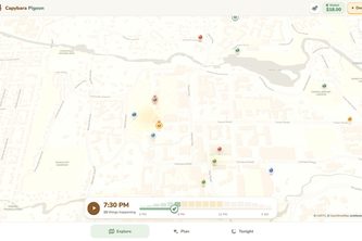
Navigate not just where, but when. Capybara Pigeon maps the spacetime around you, surfacing temporary events, personalized detours, and experiences that fit your route, interests, and budget.
Indoor AR directions from one iPhone LiDAR scan
A multiplayer city-planning game on real calamity data, where every play becomes public input for city planners.
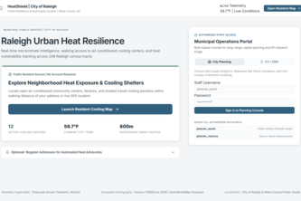
Raleigh is heating up. HeatShield finds who’s at risk, tests where to act, and turns climate data into decisions before the heatwave hits.