Inspiration
With environmental issues like global warming becoming more prevalent access to reliable shelter from rough climate is increasing necessary to daily life. We wanted to reinforce that fact by raising awareness about who is most at risk.
What it does
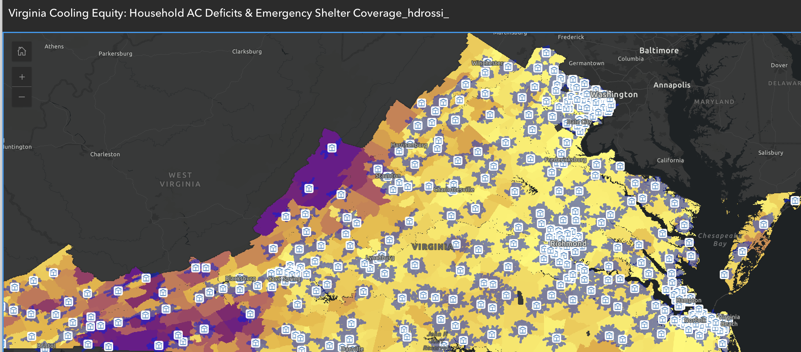
The project works by calling a weather API that tracks storm data across locations and places that visualization on a map of low income communities who do not have access to weather protection systems.
How we built it
Helena Rossi created the income map with arcGIS and together Maeve Meyer and Helena created the larger framework.
Challenges we ran into
The most difficult and time consuming aspect was creating the arcGIS map.
Accomplishments that we're proud of
Creating the in depth map
What we learned
How to combine arcGIS data with api calls and real time weather updates in order to predict who is most at risk for climate catastrophe
What's next for BreezeEasy
We have an official domain name and we hope to launch the app for public use.

Log in or sign up for Devpost to join the conversation.