Inspiration
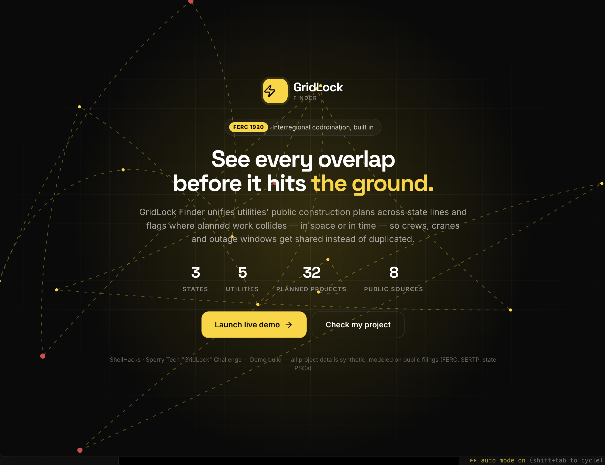
Utilities plan transmission and substation work years in advance, but neighboring utilities, especially in different states, rarely see each other's plans. The result is duplicated mobilizations, conflicting outages, and crews bidding against each other for the same labor pool. FERC Order 1920 (2024) now pushes utilities toward coordinated regional planning. We built the tool that makes that coordination visible.
What it does
- Overlap Map: every planned project in a three-state region (FL, GA, AL) on one map. Overlaps are flagged live as you adjust the distance and time thresholds.
- Three kinds of overlap: Space + Time (close together and at the same time), Proximity (same c, so access roads andlaydown yards can be reused) and Schedule (same time, same region, so they compete for the same lab
- Scoring: each overlap gets a 0–100 score, a severity level, the equipment both projects need, an eand a suggestedcoordination plan.
- Timeline: a calendar o overlapping periodshighlighted.
- Plan & Check (for cons your project's route onthe map, run a scan, and see which utilities' work you'll run into, then send a coordination requo the shared registry.
- Data sources: a pipeline that would pull from FERC eLibrary, the SERTP regional plan, state utiEIA-860M and the HIFLDtransmission-line map, and use an LLM to turn capital-plan PDFs into structured rows.
How we built it
A single-file web app (HTML/CSS/JavaScript) with Leaflet for the map. Overlap detection runs in the browser: the shortest distance between anytwo segments of two projects' routes (zero if they cross), plus the date overlap or gap between their construction windows. Every threshold changerescores all project pairs instantly.
Challenges
Public utility plans are scattered across PDFs, regulatory dockets and GISlayers, in inconsistent formats. The hard part is turning them into one format with real map coordinates and real dates, and that is what makes the overlap detection possible.
What's next
- Live data ingestion from FERC, SERTP and state utility commission dockets
- Automatic alerts when a new filing creates an overlap
- A shared workspace where both utilities approve a joint plan
- Expanding beyond the Southeast to every FERC planning region
Note: this is a demo build. All utilities, projects and figures are fictional; the overlap detection itself is real and runs on that data.
Built With
- css3
- esri
- geospatial-analysis
- html5
- javascript
- leaflet.js
- openstreetmap

Log in or sign up for Devpost to join the conversation.