-
-
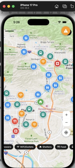
GUI showing checkpoints for free resources
-
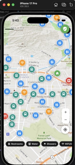
second example
Inspiration
Unhoused people are the least fortunate in society, and need the most help finding resources, especially in an emergency.
What it does
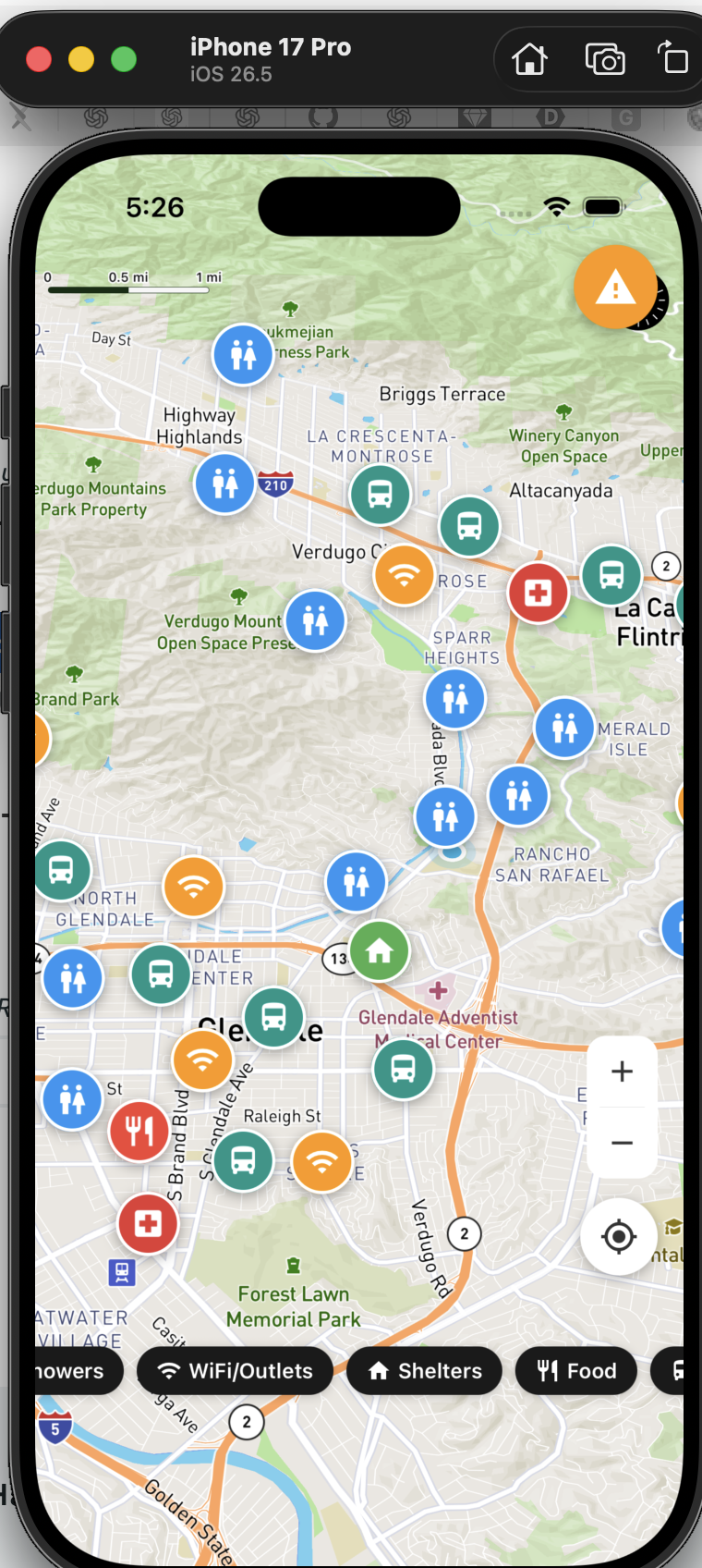
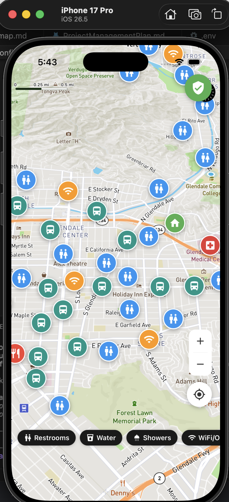
This interactive map shows nearby free resources that are needed for a homeless person to live: food, shelter, restrooms, transportation, etc. It also displays a hazard level for the location of the user based on the api supplied by four different arcGIS sources: Wildfires, floods, fault zones, and liquefaction. In addition, it samples 8 points in a circle around the user to check for nearby hazardous areas. If there are hazards, it shows that there is a nearby hazardous area, and if not, it displays a slight green aura.
How we built it
We used the arcGIS API for Los Angeles and the city of Glendale.
Challenges we ran into
Some features were difficult to implement because they aren't readily available on the locational api; we had to get creative with things like using public restrooms in parks, and searching the database for shelters.
What's next for Unhoused GO
More work is needed to properly implement shower searches, and a larger hazard map showing even more nearby areas of high risk, and more risk factors can be added.


Log in or sign up for Devpost to join the conversation.