Inspiration
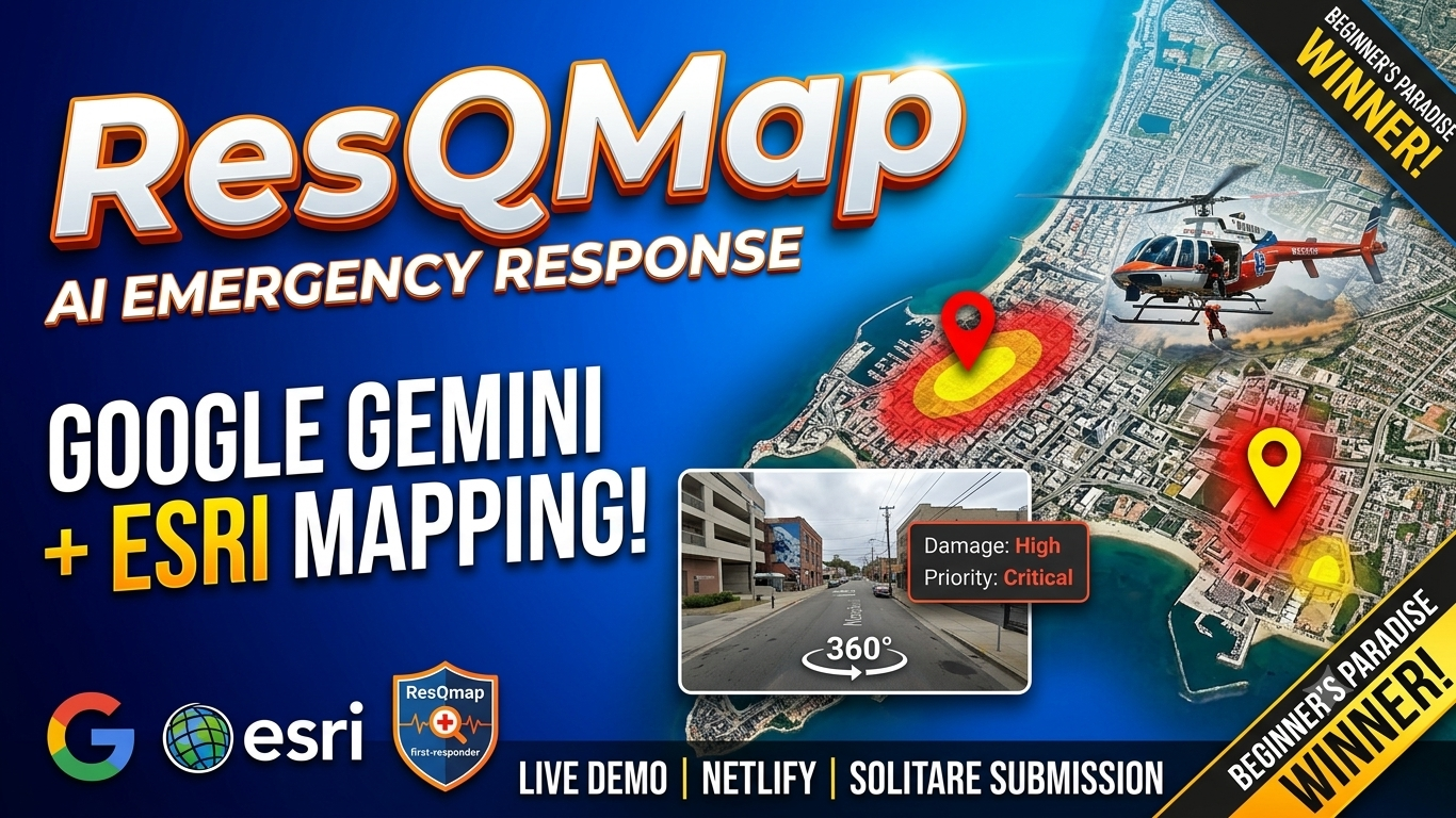
During natural disasters and emergencies, first responders and victims face extreme communication delays. Critical distress messages get buried under panic noise. ResQMap was built to solve this exact bottleneck by utilizing Generative AI to automatically parse, classify, and map emergency requests in real time onto interactive satellite maps.
What it does
ResQMap is an AI-powered emergency response and satellite triage dashboard.
- AI Emergency Message Triage: Uses Google Gemini API (
gemini-1.5-flash) to process raw SOS text/messages, extract critical details (medical status, location, urgency level), and assign priority scores. - Interactive Mapping: Leverages Esri World Imagery and Leaflet.js to render high-resolution satellite maps with custom color-coded disaster zones (Critical, Moderate, Low).
- Ground Inspection: Integrates Google Street View API for 360-degree ground-level awareness before rescue teams enter impacted areas.
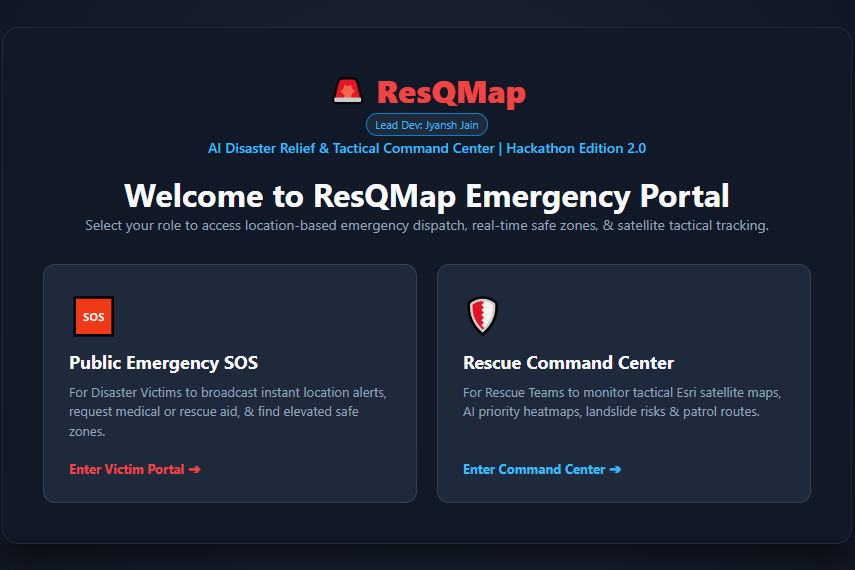
- Tactical Security: Built-in authentication and mission log controls for incident commanders.
How we built it
- Frontend & Mapping: HTML5, CSS3, JavaScript (ES6+), Leaflet.js, and Esri Satellite ArcGIS Layers.
- AI Core: Integrated Google Gemini API (
gemini-1.5-flash) for real-time natural language processing and structured data extraction. - External APIs: Google Street View API.
- Deployment & Source: Deployed on Netlify with automated CI/CD pipeline from GitHub.
Challenges we ran into
- API Latency & Parsing: Ensuring Gemini API returned structured JSON rapidly during stress tests required optimized prompt engineering.
- Map Layer Synchronisation: Seamlessly integrating custom Leaflet overlays on top of Esri satellite tiles without performance lag on low-bandwidth networks.
Accomplishments that we're proud of
- Successfully built a functional end-to-end prototype that handles real-time emergency triage with AI.
- Achieved high accuracy in location extraction and priority categorization using Gemini 1.5 Flash.
What we learned
- Mastered prompt engineering techniques for structured JSON output from Gemini models.
- Deepened hands-on knowledge of GIS mapping technologies and asynchronous JavaScript integrations.
What's next for ResQMap
- Implementing real-time offline synchronization for field teams in low-connectivity disaster zones.
- Integrating real-time IoT weather sensors and live drone feed overlays into the central triage dashboard.
Built With
- css3
- esri
- github
- google-gemini-api
- google-street-view-api
- html5
- javascript
- leaflet.js
- netlify


Log in or sign up for Devpost to join the conversation.