
🚀 Warnly — Autonomous Severe Weather & Storm Defense
💡 Inspiration
- The Problem: Standard weather applications are built for sunny days: they provide a 7-day forecast and serve banner ads. However, when violent convective squalls, cloudbursts, or sudden lightning barrages strike, cellular towers routinely lose power, cloud-dependent push notifications fail, and traditional apps go completely dark. Furthermore, victims frequently sleep through imminent danger because consumer smartphones are locked in Do Not Disturb or silent mode.
- The Next Gen Spark: As a student developer entering the Next Gen Track, I believe emergency software should operate like an airplane flight recorder—completely autonomous, mathematically deterministic, and 100% operational with zero bars of cellular signal. I built Warnly to prove that a next-generation software engineer can solve critical life-safety problems using resilient, offline-first native architectures that function independently of external cloud servers.
💻 What it does
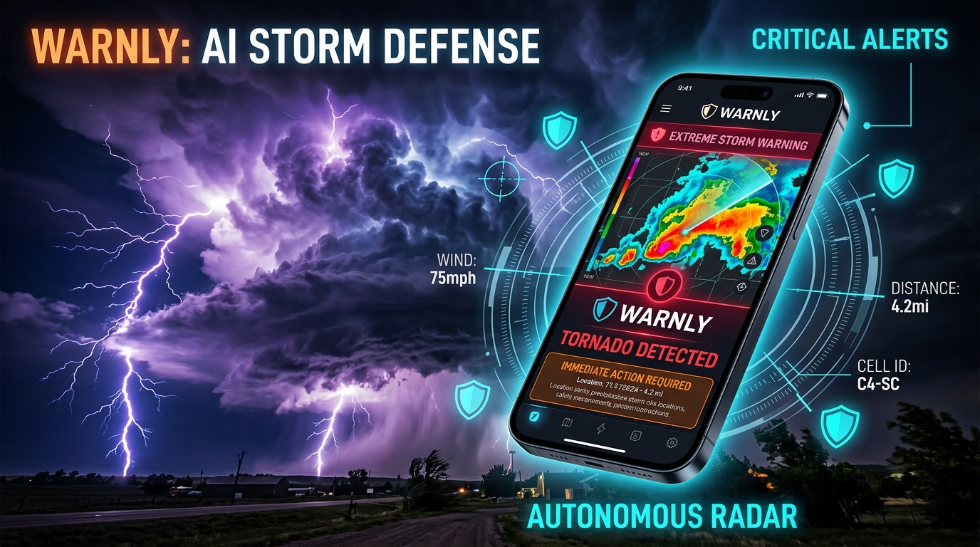
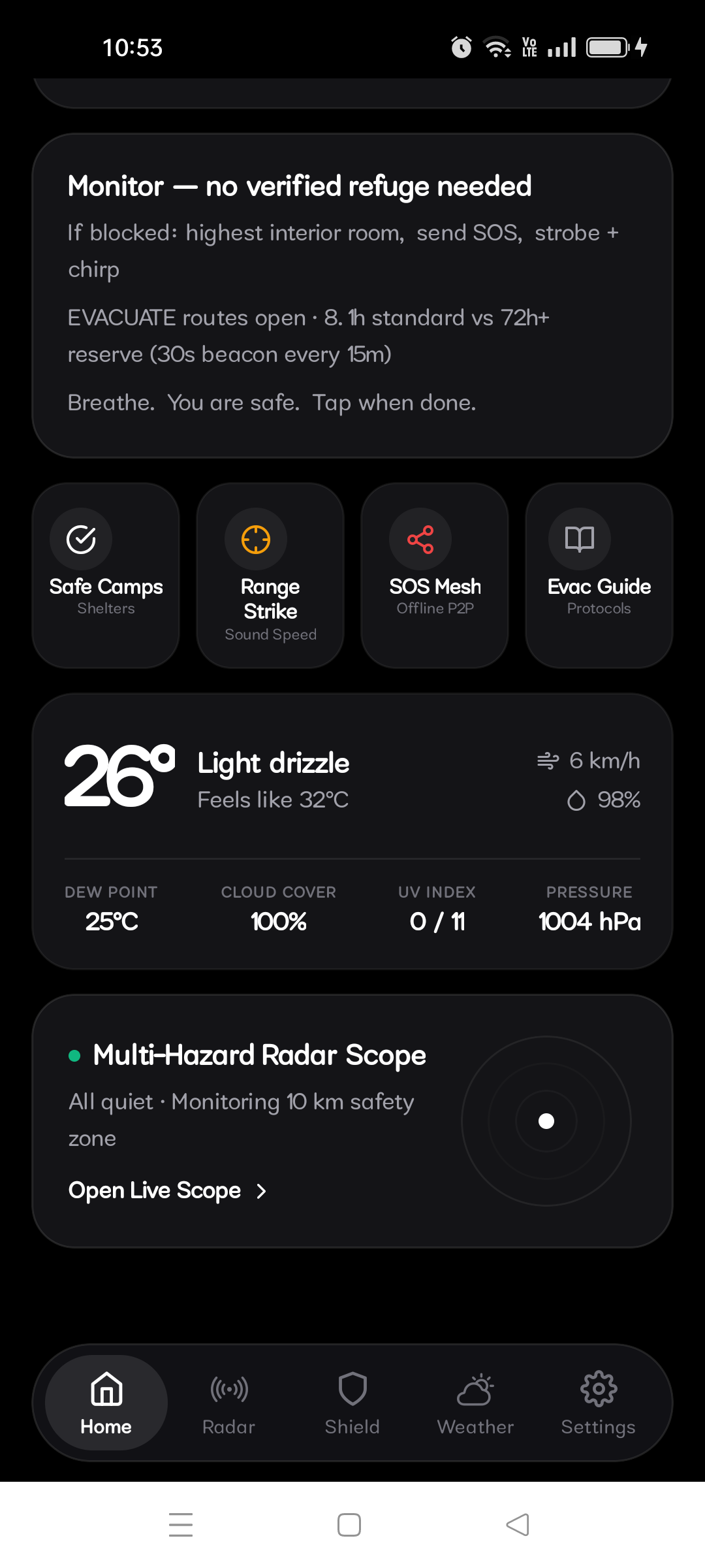
Warnly turns any smartphone into an autonomous emergency command station that monitors atmospheric trends, intercepts severe threats locally, and triggers life-saving alerts even when electrical and cellular grids fail.
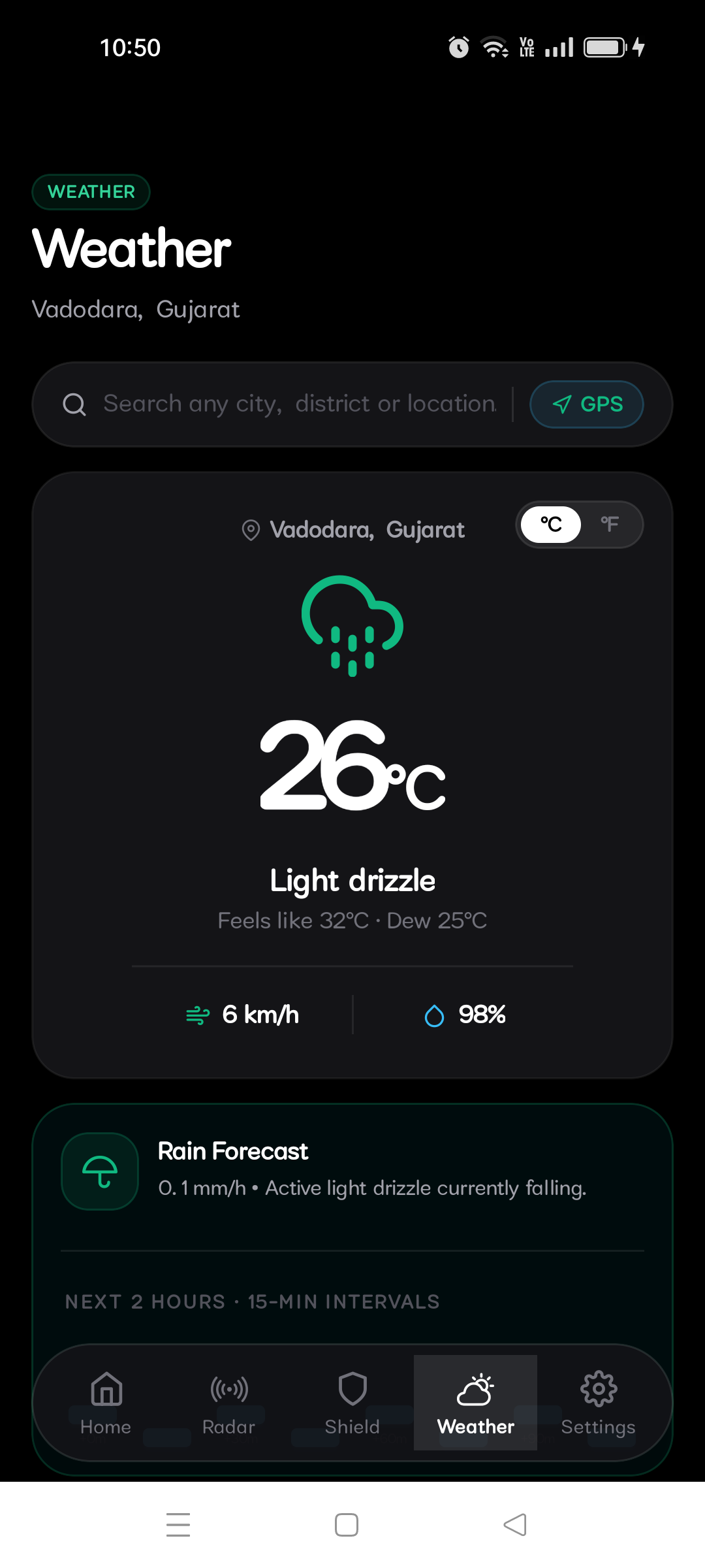
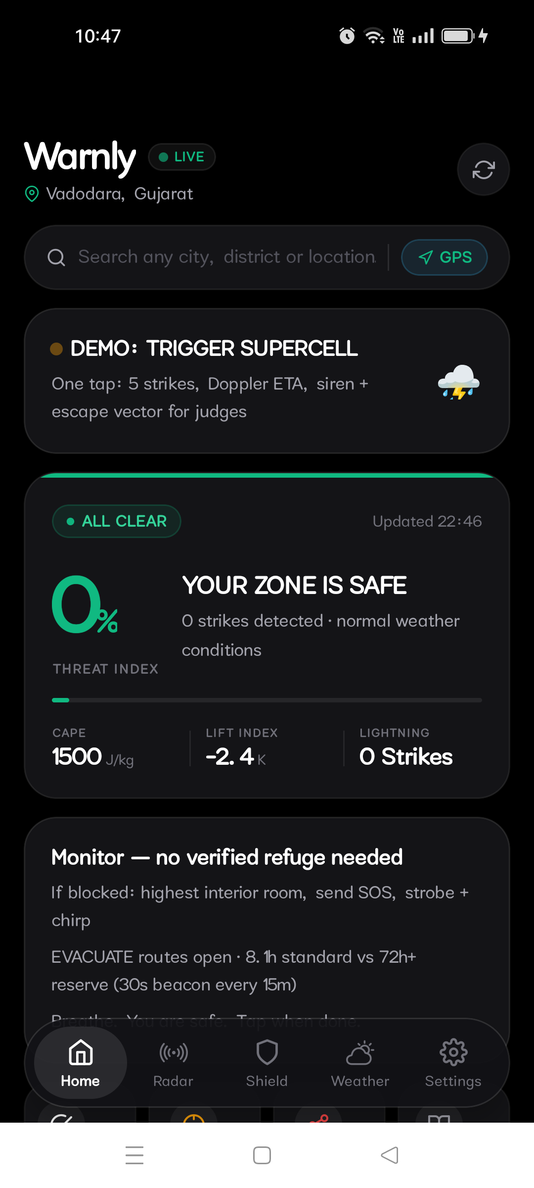
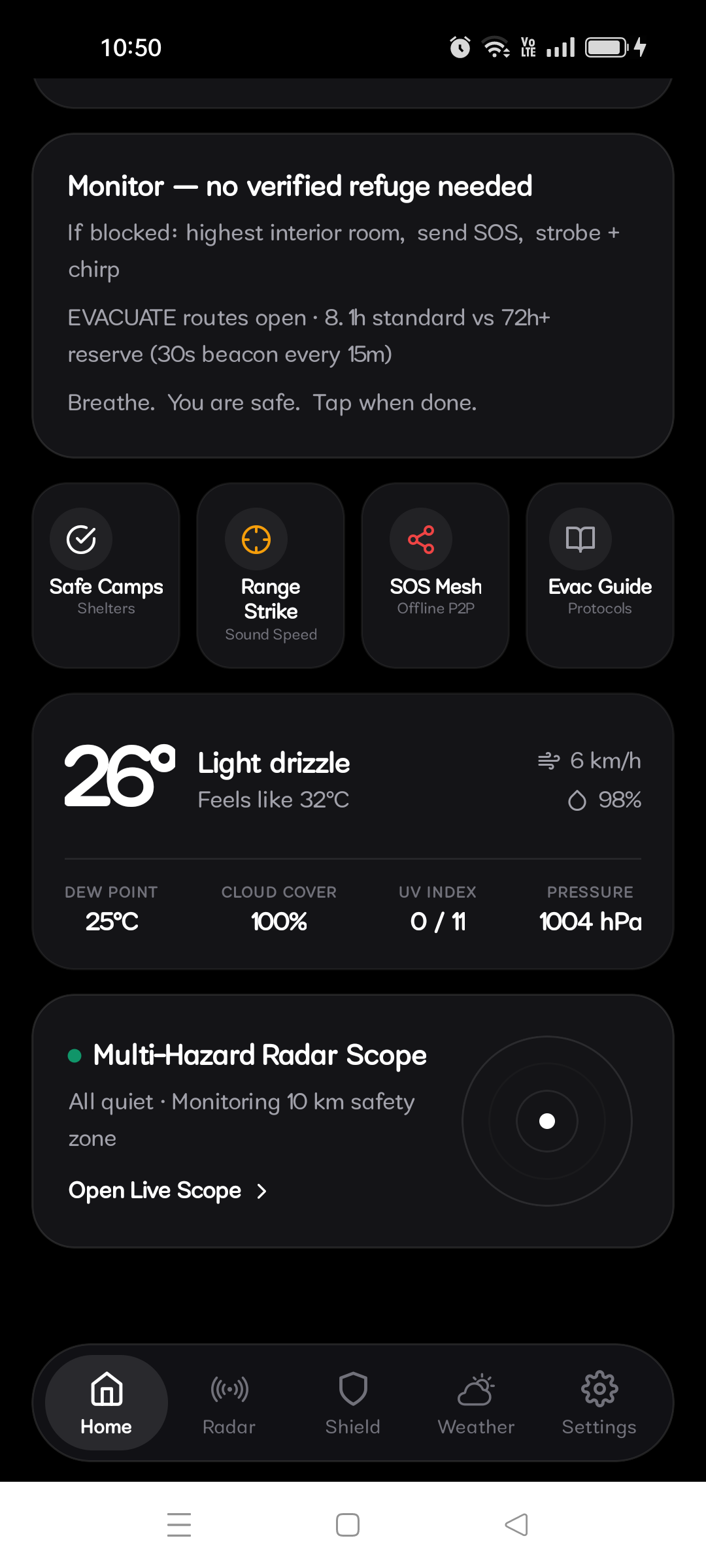
- Deterministic Threat Tracking: Evaluates real-time atmospheric telemetry (such as CAPE > 2,800 J/kg, Blitzortung VLF pulse arrival, and barometric plunge rates) to calculate a localized threat index.
- Hardware Siren Override: Bypasses Android's silent and Do Not Disturb constraints by directly binding to the low-level alarm audio stream (
AudioAttributes.USAGE_ALARM), blasting a 960Hz dual-tone emergency siren when severe weather is within 10 km. - Tactical Radar & METAR Decoding: Blends high-resolution satellite imagery with RainViewer Doppler reflectivity sweeps to trace storm cells while decoding local airport METAR feeds for ground truth verification.
- Aegis Action Compiler: Translates raw sensor telemetry into actionable, life-saving shelter directives, tracking safety thresholds deterministically.
🛠️ How I built it
I architected Warnly around an offline-first system capable of executing complex thermodynamic and tactical routing logic directly on-device:
- Frontend Framework: Built using React Native and TypeScript styled with NativeWind for zero-lag 60 FPS mobile performance.
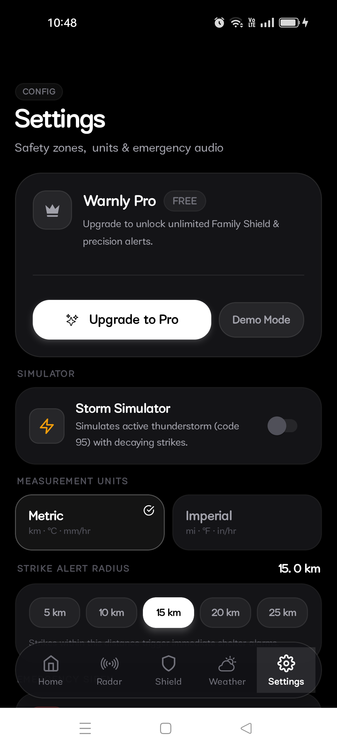
- Monetization & Entitlement (RevenueCat): Deeply integrated the official RevenueCat SDK (
react-native-purchases) to manage Pro entitlements (warnly_pro), dynamically loading offerings with local cryptographic caching so user safety tiers remain active during total infrastructure blackouts. - Hardware HAL Layer: Leveraged native Android SDK hooks to utilize
AudioAttributes.USAGE_ALARMfor critical volume overrides andSensor.TYPE_PRESSUREfor continuous barometric microburst analysis without internet access. - Mapping & Telemetry: Combined ESRI satellite baseline layers with RainViewer Doppler radar composites and Blitzortung time-of-arrival (TOA) lightning strokes.
- Next Gen Store-Exempt Delivery: Fully compliant with Next Gen track submission rules—hosted a live interactive web app on Cloudflare Workers, published open-source code under the Apache 2.0 license, and built direct installable Android APKs via an automated GitHub Actions CI/CD pipeline.
🧠 Challenges I ran into
- Android Audio HAL Bypass: Android aggressively mutes background audio streams when Do Not Disturb is active. I overcame this restriction by routing my alert tones through low-level
STREAM_ALARMparameters, ensuring critical life-safety audio punches through system constraints without requiring root permissions. - 60 FPS Doppler Sweeps: Rendering animated storm cell radar loops seamlessly over satellite textures caused immediate frame drops and thermal spikes on physical hardware. I optimized this by designing an efficient client-side image processing layer to preserve silky-smooth rendering.
- Next Gen Presentation Constraints: Condensing deep atmospheric physics, hardware sensor feeds, 10 mathematical Astra engines, and live RevenueCat billing telemetry into a digestible presentation was tough. I solved this by engineering a fast-paced 16:9 widescreen demonstration that delivers absolute proof in exactly 01:52, safely inside the 2-minute hackathon limit.
🏅 Accomplishments that I'm proud of
- Built & Tested on Physical Hardware: Successfully compiled, validated, and screen-recorded live workflows directly on real Android hardware (Realme Narzo 5G RMX3381).
- Deep RevenueCat Subscription Stack: Configured sandbox paywalls, product packages, and real-time customer update listeners to demonstrate sustainable, professional app monetization as a solo Next Gen creator.
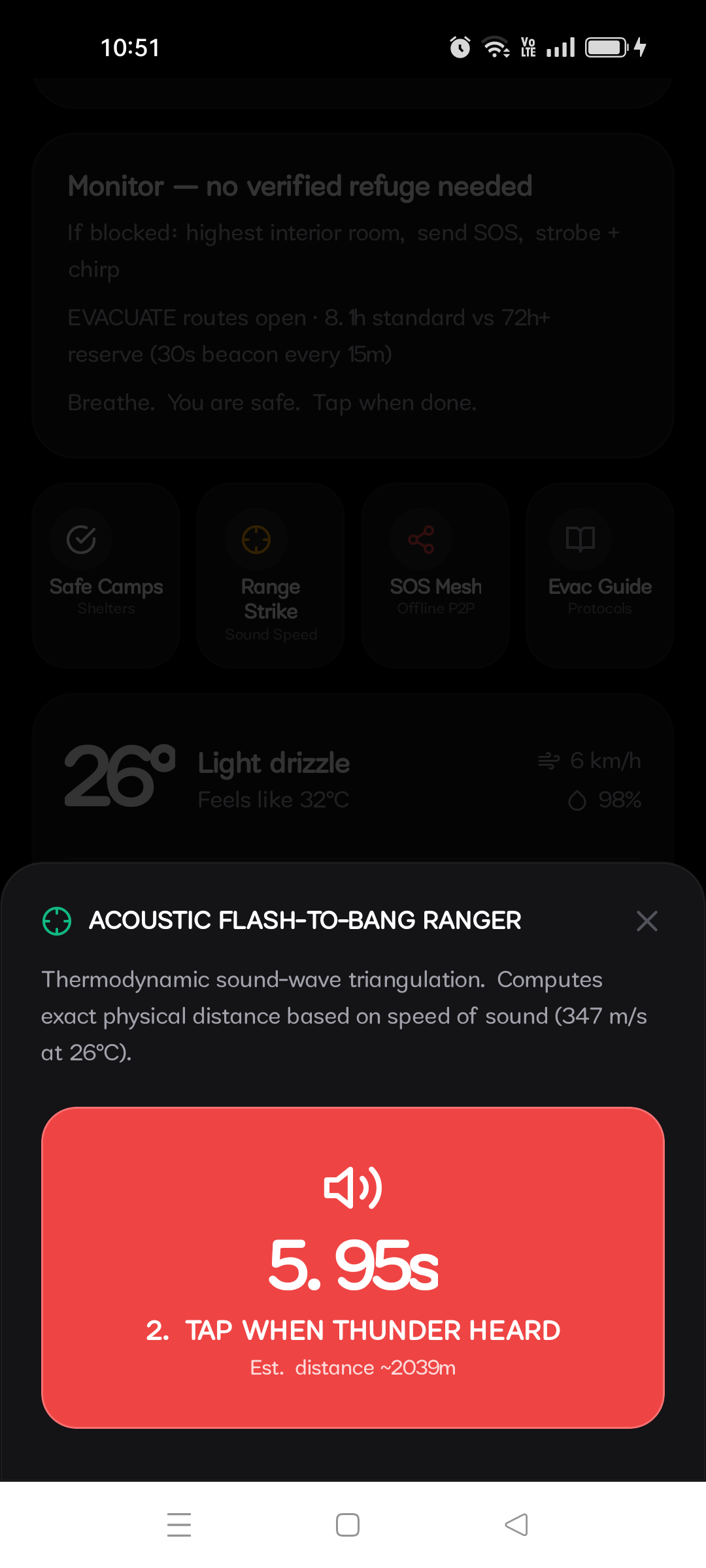
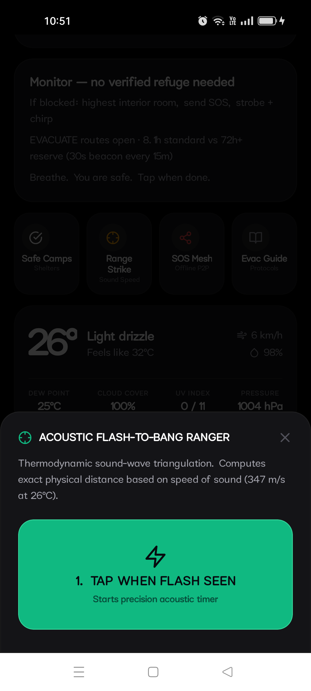
- Single-Digit Millisecond Offline Engines: Engineered 10 specialized offline calculation engines (such as AEGIS, FLASH, and SURGE) running raw local physics and acoustic triangulation completely isolated from cloud dependencies.
- Next Gen Compliance: 100% compliant with the Next Gen Award track criteria (open source Apache 2.0, direct installable release build, working video demo, and deep RevenueCat integration).
📖 What I learned
- Low-Level Native Engineering: Developed deep knowledge of Android hardware background lifecycles, real-time sensor processing pipelines, and raw audio routing rules.
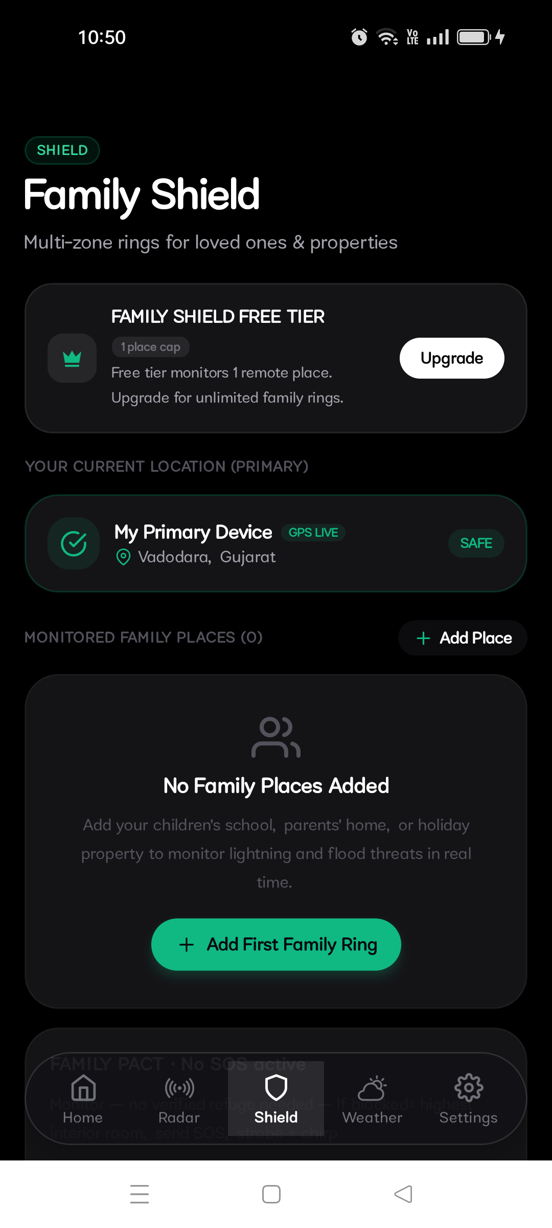
- Ethical Subscription Architecture: Gained hands-on experience structuring tier capabilities with RevenueCat, ensuring that fundamental life-safety alerts remain free and universally accessible, while advanced multi-zone Family Shield tracking funds long-term development.
- Next Gen Agility: Learned how modern developer tooling and clean architecture allow a solo student developer to build software with the stability and polish of industrial defense tools.
🚀 What's next for Warnly
- P2P Mesh Expansion: Refine underlying Bluetooth LE and Wi-Fi Direct mesh relays to allow wider, automated text alert hopping across local ad-hoc topologies when cell towers go down.
- Cross-Platform Parity: Port my native hardware sensor hooks into an identical iOS package using Swift Native Audio and CoreMotion sensor loops.
- Expanded Hazard Graph: Incorporate localized seismic P-wave and flash-flood inundation mapping to widen defensive tracking capabilities across a broader spectrum of natural hazards.
Built With
- android
- audio-hal
- bluetooth
- cloudflare-workers
- edge-computing
- emergency
- esri
- expo.io
- gis
- github-actions
- in-app-purchases
- ios
- javascript
- mobile
- nativewind
- offline-first
- radar
- rainviewer
- react-native
- revenuecat
- tailwind-css
- typescript
- weather-api

Log in or sign up for Devpost to join the conversation.