Devpost
Participate in our public hackathons
Devpost for Teams
Access your company's private hackathons
Grow your developer ecosystem and promote your platform
Drive innovation, collaboration, and retention within your organization
By use case
Blog
Insights into hackathon planning and participation
Customer stories
Inspiration from peers and other industry leaders
Planning guides
Best practices for planning online and in-person hackathons
Webinars & events
Upcoming events and on-demand recordings
Help desk
Common questions and support documentation
Sort by:
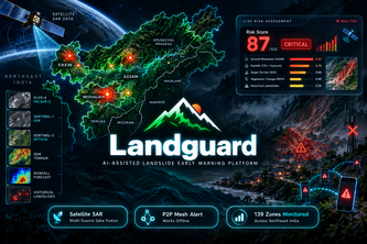
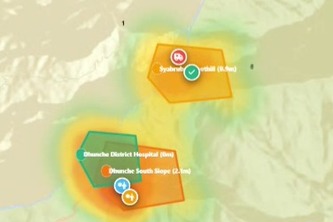
LandGuard — Dual-agent landslide early warning system for India's NER. Fuses terrain, satellite & rainfall data, delivers real-time alerts with offline mesh propagation to save lives.
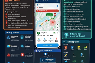
RescueRoute AI — AI-powered emergency routing that finds the safest and fastest route during crises.
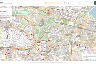
AccessMap AI turns accessibility reports into structured, trust-scored map data. Evidence, votes and time decay show how current each obstacle is, so people plan with context, not blind pins.
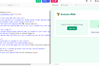
EcoLens Web brings AI waste sorting straight to your browser via TensorFlow.js. Scan items instantlytrack carbon savings and find local recycling hubs—100%
"When Ground Lifelines Fail, Space Sees Beyond."
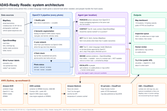
An agent that checks whether car cameras can see the lane lines on Sydney's roads, using crowdsourced photos, OpenCV 5 and AWS.
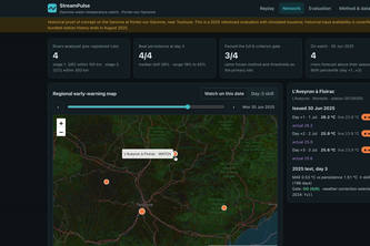
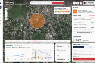
Auditable river-temperature reforecasts that turn unusual warmth into a proposed field check, with OneAquaHealth-derived FHIR records.
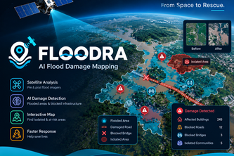
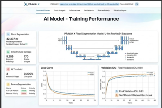
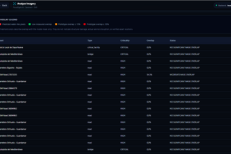
AI-powered satellite analysis that detects flood damage, identifies blocked infrastructure, and maps isolated areas to help rescue teams respond faster. Tagline: “From Space to Rescue.”
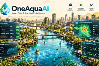
AI-assisted freshwater intelligence that detects environmental anomalies, remembers river patterns, predicts vulnerable hot moments, maps propagation, and prioritizes locations for verification.
See the Flood. Find the Damage. Reach the Cut Off.
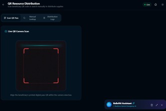
A smart web-based platform for rapid flood emergency response, efficient relief distribution, real-time coordination, and effective resource management to support affected communities.
FloodWatch uses satellite data to map flood zones and assess infrastructure risks for faster disaster response.
Smart Service Finder connects users with trusted local professionals using AI-powered recommendations, transparent profiles, and easy booking—making it faster and safer to find the right service.
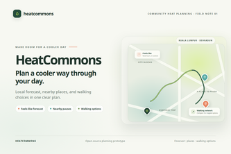
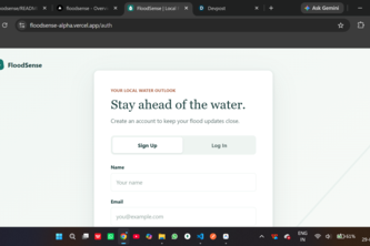
Plan a cooler day with the local forecast, nearby places to pause, and walking options in one clear view.
From raw satellite radar to the villages that need help first: flood damage and cut-off settlements for any area and date, in minutes.
Empowering cities to turn citizen water observations into early ecological and vector outbreak warnings using fault-tolerant AI and offline-first community surveillance.
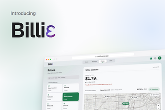
Billie turns your grocery receipts into a price history with NVIDIA Nemotron on Nebius Token Factory, every price rise, recalls on food you bought, and the cheaper store if you shop around.
One Health early warning for urban streams: citizen checks and forecasts become FHIR risk alerts for GPs via CDS Hooks, with an AI duty officer drafting human-approved advisories.
From satellite imagery to life saving flood intelligence.
An explainable flood intelligence platform turning complex hydrological telemetry into intuitive risk assessments and life-saving safety checklists.
Weather-triggered micro-insurance that pays street vendors instantly — no claims, no paperwork, just data and neighbors verifying it.
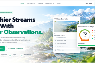
Turning citizen freshwater observations into explainable environmental intelligence.
Making public spaces safer by turning unusual events into clear, timely alerts that help people respond when it matters.
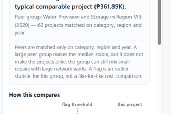
Pondo Watch flags unusual budgets in Philippine infrastructure projects using robust statistics, giving citizens and auditors an explainable shortlist for review—not accusations of wrongdoing.