Devpost
Participate in our public hackathons
Devpost for Teams
Access your company's private hackathons
Grow your developer ecosystem and promote your platform
Drive innovation, collaboration, and retention within your organization
By use case
Blog
Insights into hackathon planning and participation
Customer stories
Inspiration from peers and other industry leaders
Planning guides
Best practices for planning online and in-person hackathons
Webinars & events
Upcoming events and on-demand recordings
Help desk
Common questions and support documentation
Sort by:
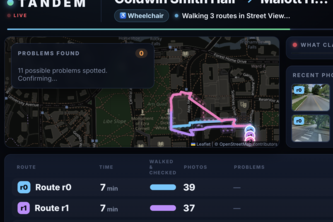
Maps tell you how long. Tandem tells you if you can. Text it your route and it scouts every path for stairs, missing ramps and steep hills, then texts back the one you can take.
House helps Wake County buyers understand how much of a property’s assessed value comes from the land versus the building.
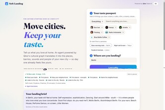
Move cities, keep your taste. Powered by Qloo.
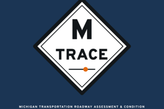
M-TRACE turns any fleet vehicle into a road inspector. It maps roughness and potholes against Michigan's PASER ratings, tracks the 30-day liability clock, and answers through an IBM watsonx agent.
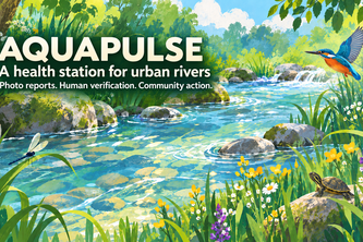
I built AquaPulse so people can report river pollution with a photo, see nearby reports on a map, and join local cleanup activities.
Scentline tells search teams where to send air-scent dogs, by modelling how wind carries a missing person's scent across real terrain.
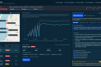
Real-time seiche and meteotsunami sudden coastal hazard detection for the Great Lakes.
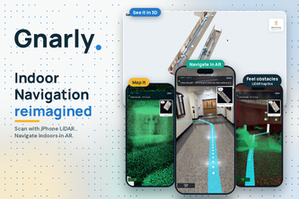
Indoor AR directions from one iPhone LiDAR scan
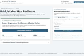
Raleigh is heating up. HeatShield finds who’s at risk, tests where to act, and turns climate data into decisions before the heatwave hits.
During natural disasters, public GPS applications lack real-time hazard awareness, leading evacuees directly into dangerous conditions. Evac assist allows communities to create custom evac routes.
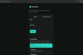
LIFELOG turns your medicine's FDA label into a "life budget," tracking every hot car and power outage to show how much safe life is left and what to do next.
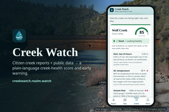
Report what you see at the creek in 2 minutes. Creek Watch fuses it with live USGS, weather and state water data into an explainable health score, water alerts and opt-in push.
Walking routes that adapt to real-world obstacles in real time.
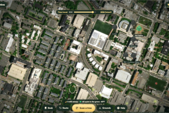
Scan a QR tag on a campus tree and it wakes up, tells its true local history out loud, and shows its spot in 1930. Spot pests or damage? Your photo alerts the grounds team.
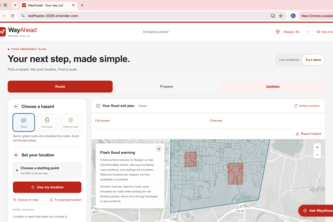
Disaster-aware routing across North Carolina that helps people find a way ahead, even when connectivity fails.
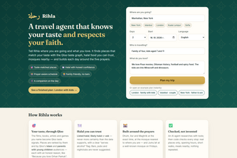
An AI travel agent for Muslim travellers and families: Qloo-powered places that fit your taste, honest halal food, and every day built around the five prayers.
Waymax helps people with Alzheimer's navigate their lives by recognizing loved ones, staying oriented and safe, with gentle on-screen and spoken cues and instant message alerts for caregivers.
CampusBite bridges campus food waste and student budget needs. Our real-time platform instantly alerts UMich students to free surplus event catering with live, crowdsourced updates. Waste zero!
Walking home tonight? Use Firefly, an enchanted guardian in your hand, keeping you company, learning your story, and summoning help when you need it.
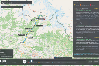
Turns the first seismic signal of an upstream glacier collapse into village-by-village flood alerts in English and Nepali, replayed on the Aug 26, 2026 Nepal–Tibet flood.
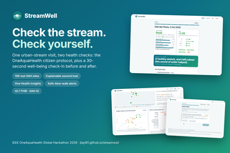
One stream visit, two health checks: OAH stream assessment + 30-second before/after well-being, giving volunteers a reason to return and researchers the missing paired dataset.
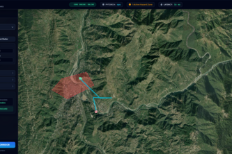
Multimodal emergency response engine combining synthetic SAR satellite radar segmentation with dynamic Dijkstra graph routing to coordinate safe, real-time evacuation around flood zones.
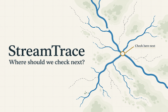
Turn citizen stream observations into reviewed evidence and a clear next check, helping communities and researchers focus freshwater investigations and protect ecosystem health.
Turn a photo of a local infrastructure problem into an AI-generated, location-aware action plan in seconds.