Inspiration
What it does
Inspiration
Floods can disrupt road networks, damage infrastructure, and leave communities difficult to reach. During an emergency, responders need to understand not only where flooding may have occurred, but also which roads may be affected and which settlements deserve further assessment. We built FLOODRA to bring these insights together in one interactive geospatial dashboard.
What It Does
FLOODRA is an AI-powered flood damage and connectivity mapping prototype that analyzes satellite imagery and geographic data to support flood-response planning.
- Flood detection: Generates a flood mask from satellite imagery using a threshold-based baseline method.
- Flood severity mapping: Assigns relative severity classes to detected flood pixels.
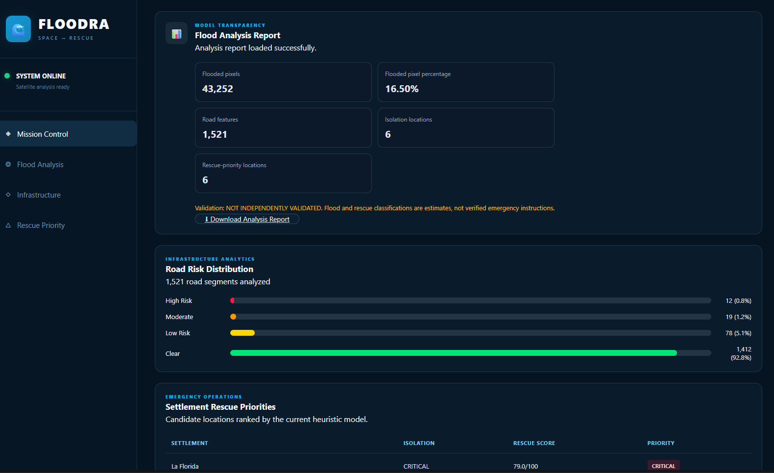
- Road-risk analysis: Estimates road exposure by intersecting mapped roads with the detected flood extent.
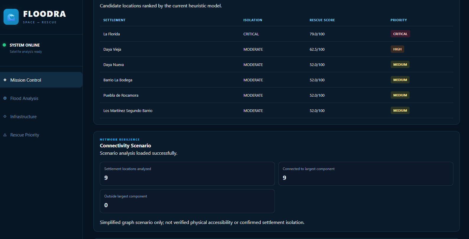
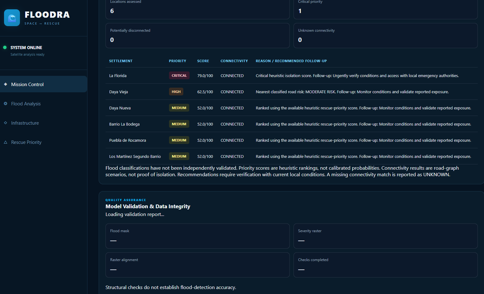
- Settlement isolation assessment: Identifies settlements that may require additional attention based on flood exposure and proximity to risky roads.
- Rescue prioritization: Produces heuristic priority scores and recommended response actions.
- Connectivity analysis: Examines road-network connectivity under a simulated road-risk scenario.
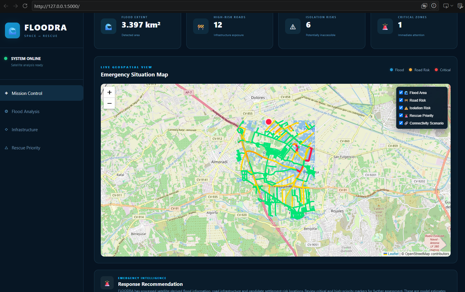
- Interactive dashboard: Displays flood overlays, road-risk categories, settlement markers, connectivity results, and response decisions on a geographic map.
How We Built It
We developed FLOODRA using Python for geospatial processing and Flask for the backend API. Rasterio and NumPy handle raster data and flood-mask processing, while GeoPandas supports road and settlement analysis. Leaflet provides the interactive map interface.
Our processing pipeline runs ten stages, from flood detection and severity mapping through road-risk analysis, settlement assessment, rescue prioritization, connectivity analysis, report generation, and structural validation.
The pipeline produces GeoTIFF rasters, GeoJSON geographic layers, and JSON reports that are consumed by the dashboard.
Challenges We Faced
One challenge was handling geospatial data consistently across satellite rasters, road networks, and settlement locations. We addressed coordinate reference system handling, raster alignment, and projected-distance calculations.
We also resolved Python dependency and module-import issues and improved the pipeline so that processing stages execute in sequence and stop when an error occurs. Finally, we integrated the processing outputs with Flask endpoints and the Leaflet dashboard.
What We Learned
We gained practical experience in geospatial raster processing, vector-data analysis, geographic coordinate systems, spatial intersections, road-graph connectivity, and full-stack integration. We also learned that a technically functioning pipeline is not the same as a scientifically validated prediction system.
What's Next
Our next steps are to compare flood predictions against an independent reference flood map, measure precision, recall, F1-score and Intersection over Union, incorporate verified road closures and bridge damage, and improve uncertainty reporting.
Limitations
FLOODRA currently uses a threshold-based flood-detection baseline and heuristic severity, isolation, and rescue-priority methods. The structural validation checks confirm raster integrity and class encoding, but independent predictive accuracy has not yet been established. Connectivity results are graph-based scenario estimates and do not confirm real-world accessibility or isolation.
FLOODRA is a prototype intended to support situational awareness and response planning, not replace verified emergency assessments.
How we built it
Challenges we ran into
Accomplishments that we're proud of
What we learned
What's next for FLOODRA – AI Flood Damage Mapping
Built With
- analysis
- api
- computer
- css
- data
- flask
- geojson
- geopandas
- geospatial
- geotiff
- html
- imagery
- javascript
- leaflet.js
- matplotlib
- network
- numpy
- openstreetmap
- python
- rasterio
- rest
- satellite
- shapely
- vision
- visualization

Log in or sign up for Devpost to join the conversation.