Devpost
Participate in our public hackathons
Devpost for Teams
Access your company's private hackathons
Grow your developer ecosystem and promote your platform
Drive innovation, collaboration, and retention within your organization
By use case
Blog
Insights into hackathon planning and participation
Customer stories
Inspiration from peers and other industry leaders
Planning guides
Best practices for planning online and in-person hackathons
Webinars & events
Upcoming events and on-demand recordings
Help desk
Common questions and support documentation
Sort by:
AquaManFHIR maps OneAquaHealth ecosystem data to traceable FHIR R4 resources, with validation, API access, and a data-grounded AI agent.
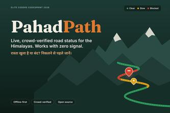
Know before you go. PahadPath shows live, crowd-verified road status for Uttarakhand's landslide-prone routes, and keeps working with zero network signal.
Houston ISD closed schools, causing riskier walks. Walk Check maps your child's new route, shows where to cross safely, and auto-fills HISD and City safety request forms.
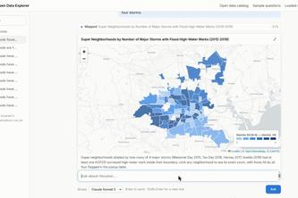
Houston's open data is scattered across 16 portals and 7,000+ layers. I scraped the useful part into one fast GIS database with a searchable catalog. Ask it anything in plain English.
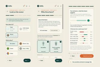
Volunteers name what lives in their stream, an AI double-checks them without seeing their answers, and published rules turn it into a health reading.
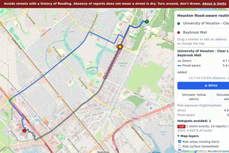
Driving in a Houston storm? floodroutes finds a route around streets that flood again and again, from 15 years of 311 reports, and warns you by voice before you reach one.
Farmers lose water and pesticide to weather they never saw coming. Our open-source AI agent turns live station data into irrigate, spray or rest alerts, even on 2G phones.
Compare welcoming Houston parks, gardens, and community centers, then sketch the gathering place your neighborhood needs.
A 5-minute guided stream check with an explainable AI co-pilot that double-checks with citizens, then turns each observation into One Health early warnings and FHIR-ready data.
Help Foster Place turn approximate sidewalk observations into a local block-level aging-in-place plan.
Turn Houston 311 street-service signals and resident observations into a transparent neighborhood conversation.
Report streetlights burning in daylight, follow the status, and explore transparent energy and cost estimates.
Find free indoor Houston places by hours, transit, and source-linked details when heat or rain changes the day.
Find Houston gathering spaces by neighborhood, capacity, cost, and amenities, then keep a source-backed shortlist.
Found it a hassle to message a hundred-people group chat? With RALL-E, you can find your game before the people. No pressure on building glamorous profiles, no stranger swiping in your DMs, pure fun!
Turn Houston 311 cleanup reports into neighborhood action: find a hotspot, make a plan, invite a crew and record completion.
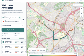
Find cooler, safer walking routes using live heat, air quality, estimated shade, water access, and travel time.
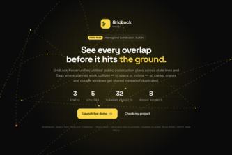
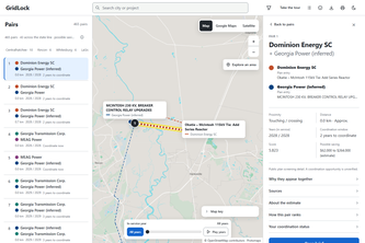
GridLock Finder compares neighboring utilities' planned construction projects and flags where they overlap, either because they're physically close or because they're scheduled at the same time.
RegWise gives Maryland small businesses the compliance team big companies pay millions for: what the law requires, what's changing, and what's happening outside their door.
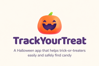
Every Halloween, children hit the streets in one of the busiest and most stressful nights of the year for families. How can we make this easier?
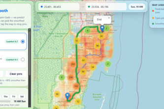
We score every road by comfort using public data, so riders — and robotaxis — can pick the smoothest route, not just the fastest.
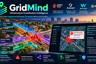
GridMind detects utility construction conflicts before they become costly disruptions
Find where neighboring utilities' transmission plans overlap, with the source page behind every fact, and stress-test any area with a hypothetical hurricane.
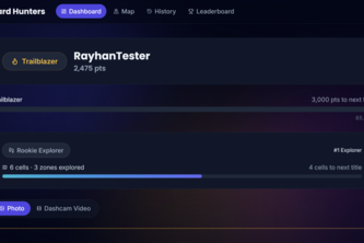
Dashcam hazard reports, GPS-extracted from the video itself, classified by Snowflake Cortex AI — turned into a live crowdsourced hazard map with gamified leaderboards to keep drivers reporting.