Devpost
Participate in our public hackathons
Devpost for Teams
Access your company's private hackathons
Grow your developer ecosystem and promote your platform
Drive innovation, collaboration, and retention within your organization
By use case
Blog
Insights into hackathon planning and participation
Customer stories
Inspiration from peers and other industry leaders
Planning guides
Best practices for planning online and in-person hackathons
Webinars & events
Upcoming events and on-demand recordings
Help desk
Common questions and support documentation
Sort by:
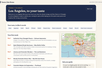
New city, same you. An agent that turns the spots, music, films and books you love back home into places you'll love where you live now, each pick explained by Qloo's taste graph.
Know the flat before you buy it.
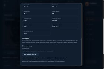
Turn satellite heat observations into ranked hotspots, clear maps, and traceable evidence for wildfire research.
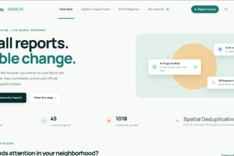
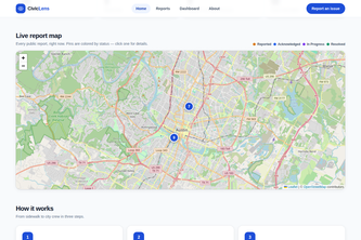
An interactive community hazard tracker that uses AI triage and spatial deduplication to turn neighbor reports into verified, official 311 city dispatch tickets.
Smart LED Street Lighting is a web-based solution for reporting faulty lights, managing complaints, assigning maintenance teams, tracking repairs, and improving scheduling for safer, smarter streets.
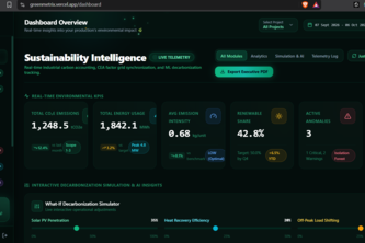
GreenMetriX turns real-time environmental data into smarter, sustainable decisions. Accelerate decarbonization with AI-powered insights, simulations, and actionable intelligence.
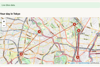
A one-day plan for Tokyo or Kyoto built from your favorite artists, films and foods, with the Qloo taste signals that put each stop there.
A secure, scalable cloud solution transforming Indian land records into an immutable, verifiable registry to protect property rights with ease.
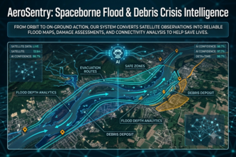
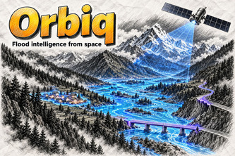
From orbit to on-ground action, our system converts satellite observations into reliable flood maps, damage assessments, and connectivity analysis to help save lives during disasters.
Verified offbeat trail routes that work with zero signal.
See a problem in your neighborhood? Report it in 30 seconds — AI triages it, routes it to the right department, and puts it on a public map until it's fixed.
Across India's PHCs, medicines run out unseen. Without real-time tracking of stock, footfall and resources, stock-outs strike and the nation's response falters when it matters most
Maps flood damage from satellite radar and optical images, finds cut-off villages, and answers rescuers in English and Nepali using only numbers from its maps.
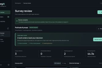
Turn dashcam footage into auditable road surveys and human-reviewed repair decisions.
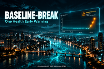
Early warning system that detects when a river stops behaving normally.
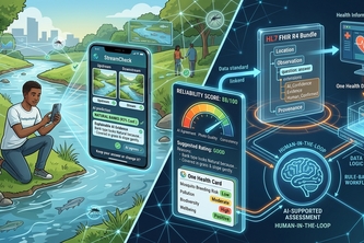
An AI second pair of eyes for citizen stream assessments. It explains what it sees; the citizen decides.
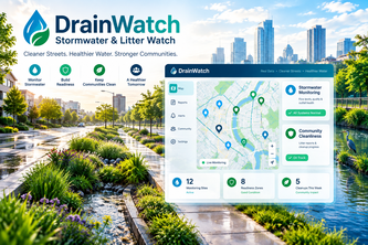
A community action platform for residents and volunteers to report drainage and litter issues, confirm conditions, follow progress, and receive weather-aware guidance for healthier urban waterways.
Turning rain forecasts into paired before-and-after stream observations.
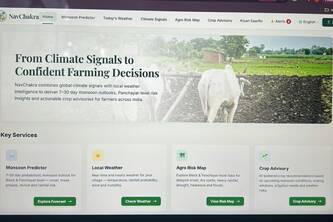
From Climate Signals to Confident Farming Decisions
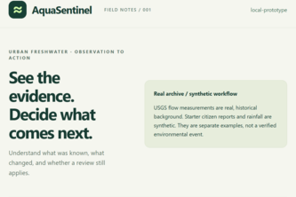
Replay freshwater evidence, trace human decisions, and see when changing information makes a warning or review outdated.
Turn citizen water pollution reports into evidence-backed investigations and expert-ready recommendations.
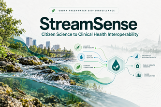
StreamSense runs 7 parallel AI agents to triage citizen stream photos into validated ecological intelligence and FHIR health records, linking bioindicators to community disease prevention.
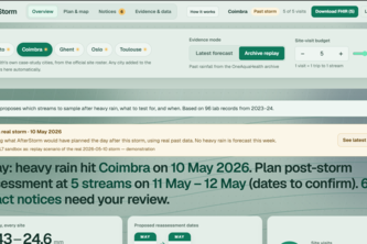
After the storm, sample what matters
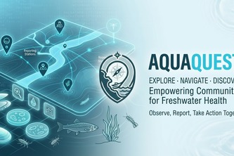
A citizen science platform that turns everyday water observations into understandable One Health insights for healthier communities and ecosystems.