Devpost
Participate in our public hackathons
Devpost for Teams
Access your company's private hackathons
Grow your developer ecosystem and promote your platform
Drive innovation, collaboration, and retention within your organization
By use case
Blog
Insights into hackathon planning and participation
Customer stories
Inspiration from peers and other industry leaders
Planning guides
Best practices for planning online and in-person hackathons
Webinars & events
Upcoming events and on-demand recordings
Help desk
Common questions and support documentation
Sort by:
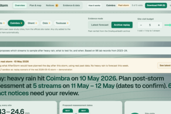
After the storm, sample what matters
A citizen science platform that turns everyday water observations into understandable One Health insights for healthier communities and ecosystems.
AquaLedger answers water questions in 26 languages using only real EEA data. Every number is checked against its source, or the answer is withheld. Built for the OneAquaHealth challenge.
AI that spots coral bleaching risk before the alarm sounds, and explains every estimate.
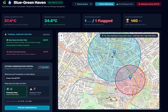
Routes vulnerable European citizens along cooling urban streams during extreme heatwaves while crowdsourcing freshwater health for municipal biosecurity and public works dispatch.
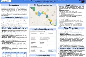
RioClear Initiative maps drinking-water violations and river contamination along the Texas–Mexico border, and ranks which counties need action first.
Dora turns ecological questions into actionable insights for conservation teams, researchers, and land managers by uncovering historical patterns and forecast possible changes.
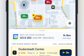
eMbark helps students find the best place to study between classes using their schedule, location, walking time, noise, and live occupancy—so they save time and always know where to go.
Flux predicts waste problems before they happen and simulates the most sustainable way to respond.
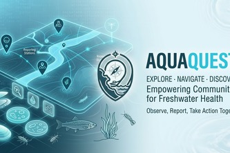
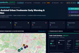
AI-Assisted Urban Freshwater Early Warning & Action
AI suggests, you confirm: a companion app that helps citizens complete OneAquaHealth stream assessments accurately, flags contradictions, and exports FHIR-standard One Health data.
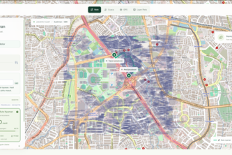
Menentukan arah, menciptakan rute ternyaman
Stay active. Take the better way.
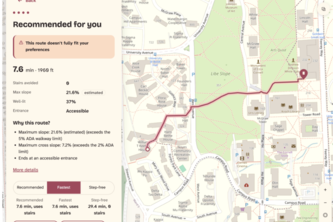
We leverage real campus GIS, lidar and live reports so that maps finally route around how you move. Many people live with access restraints, but in 100 years, every map should know the way for them.
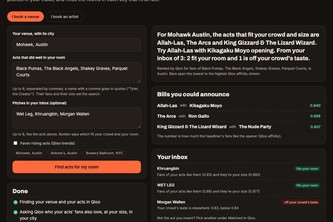
Book the acts your room's crowd already loves: Booker uses Qloo's taste graph to find acts that fit a venue's crowd and size, score the pitches in its inbox, and route tours to the rooms that fit.
An explainable scam checker that speaks your language.
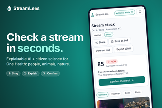
Explainable AI and citizen observations for healthier urban streams. Snap a photo, see what the AI found and why, and make the final call. AI explains. You decide.
Creature hunt across Cornell.
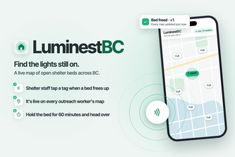
Find the lights still on.
A flood is not a polygon, it is a severed graph. Himalayan post-flood access intelligence pairing terrain-flattened Sentinel-1 SAR with road topology and an AST-guarded copilot.
Reducing your carbon footprint by carpooling with friends!
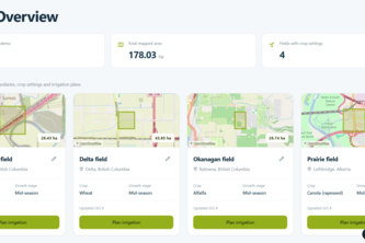
Precise irrigation, simplified.
Do you know what you need in a heist? With this all you need is One Briefcase!
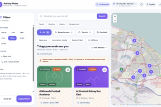
Findly finds real local activities, events, sports, and classes near you, verifies the information, and lets you filter by time open, distance, and category to quickly find something to do